Miscellaneous Software
Submit your software listing(s) in this category if you could not find specific category related to your software product(s) on "SOFTWARE CATEGORIES" menu on the left side of this page. A specific category may be created upon five (5) similar category requests through "Report" button on the detailed software profile after approval of software listing in the directory.
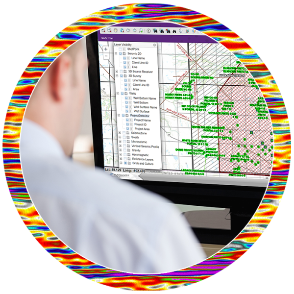
Subsurface Data Types Supported by iGlass
iGlass data management software provides a complete set of tools that encompass the full life cycle of our customers’ subsurface assets. Certified PPDM Gold Compliant, iGlass incorporates a web based ESRI GIS map interface for direct access to your digital ...
Read More ...
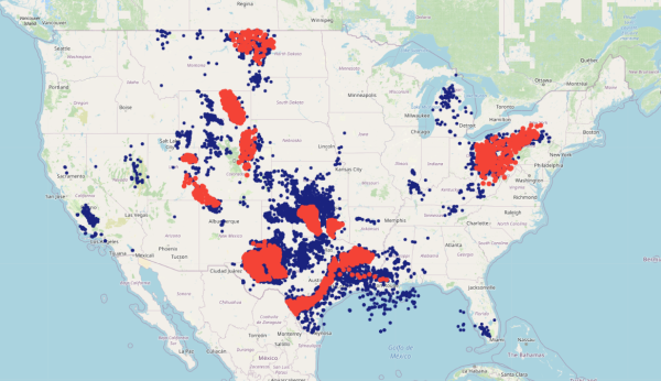
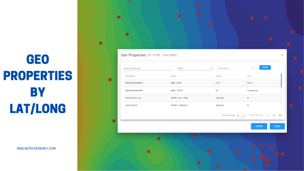
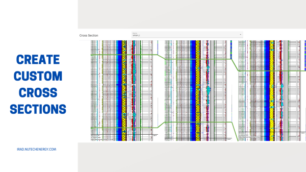
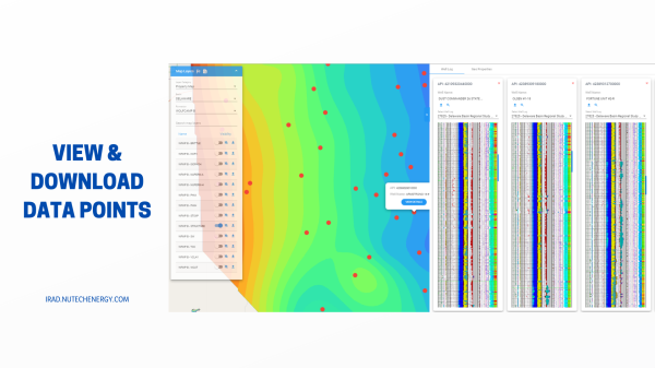
IRAD is a web based platform that contains all of the NuTech Regional Studies in one place for quick access to thousands of wells and maps. IRAD capabilities add ease and functionality into any workflow by providing access to formation top picks, Petrophysical Evaluations, GeoMechanical Evaluations, ...
Read More ...
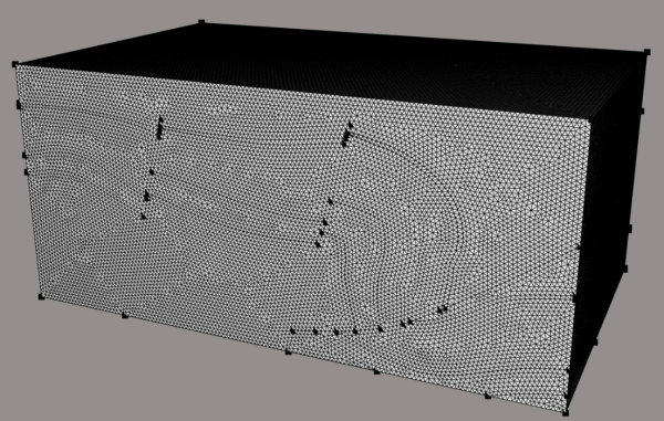
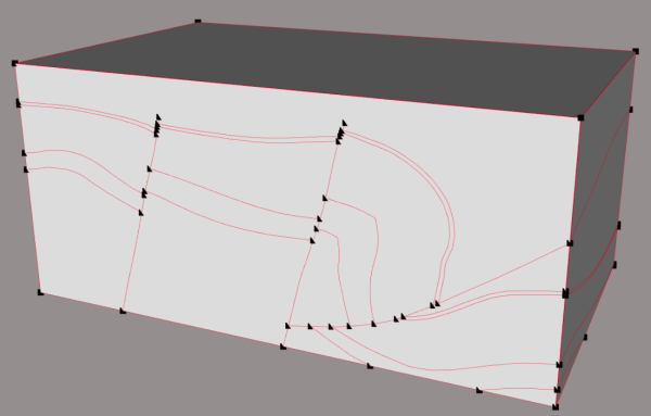
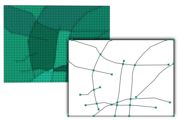
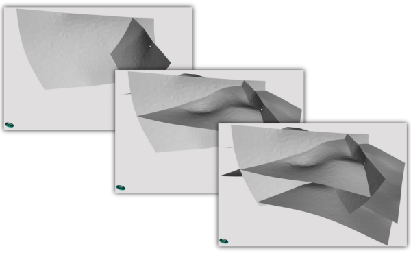
Geode-solutions provide a set of OpenGeode extensions designed to overcome classical bottlenecks in modeling and meshing applications both 2D and 3D. These extensions offer new solutions developed with state-of-the-art technologies with robustness, performance and pragmatism as main development driv ...
Read More ...
WellSTORE is a WITSML based data conversion and delivery store facilitating the aggregation and standardised delivery of multiple data types and sources through the Internet. It is designed to deliver continuous access to service company data by expert systems such as G&G and Drilling applicatio ...
Read More ...
This tool will convert full files. Most tools only convert single points.
Calculate position in multiple formats, and convert an entire file between coordinate systems in one go.
Convert individual points
Full File batch conversion with no size limitations
Drag and drop files for conversion
U ...
Read More ...

