IMCoord
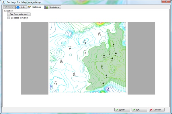
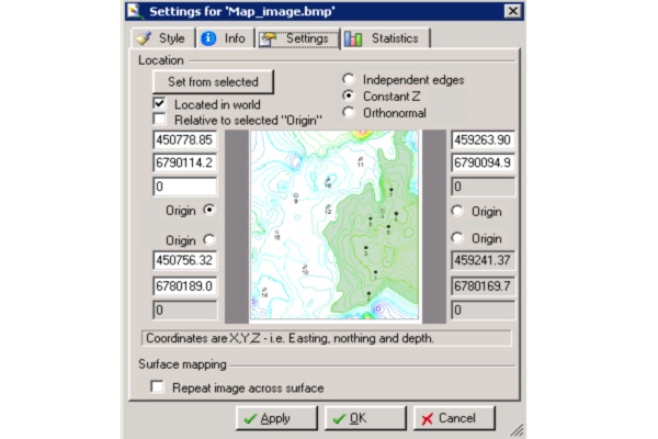
Settings of image with coordinates
Calculated corner coordinates copied from IM Coord plug-in to the image settings.
Plug-in Overview
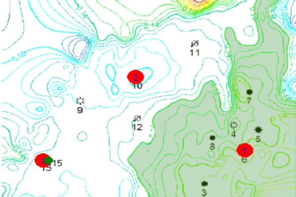
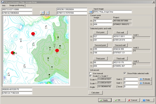
The IMCoord plug-in positions a bitmap image in the 3D canvas. Three data points, with known coordinates (usually wells), are needed to tie the bitmap image to the 3D canvas map.
Specifications
- Plug-in calculates corner coordinates using project well heads data and well positions picked by user on the image imported into Petrel.
- Plug-in calculates corner coordinates using project or well tops data and well positions picked by user on the image imported into Petrel.
- Plug-in allows user to define scale factor, rotation angle and Z position of the image.
- Plug-in allows estimating shift values to distribute misfit (inaccuracy of input, or mismatch project data with the image) among all data compared in the project and on the image.
- Plug-in allows displaying estimated well positions on the image.
Features
The IMCoord plug-in can use the coordinates from existing wells in the Petrel project or type in the coordinates manually. The resultant positioned image can be used for map digitization.
Listing Details
Visits
1,625
Redirects
317
Don't Miss Out! Get the Best Deal on this Software - Email Us Now!
Map


