P2 Tobin Data
Tobin Data is the industry standard in oil and gas mapping software and has been for more than 85 years. With over 100 dedicated specialists, Tobin gives you the confidence to build the best, most trusted maps possible. With a history of pinpoint accuracy, and fast, quality data delivery, Tobin’s user-friendly design lets you see well, lease, and land activity with complete clarity. The results? Better managed risks and informed decisions.
Survey
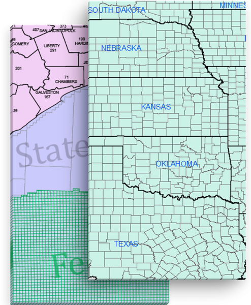
1.4 billion acres. 65,000 townships. 300,000 original Texas abstracts. Tobin Data's Survey layer offers the most comprehensive, continuous survey coverage in the industry. Using our Survey data as the foundation for your basemap, you can position the rest of your map's components quickly and accurately.
Ownership
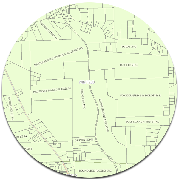
Tobin Data's Ownership layer allows you to see who owns the surface rights for each particular parcel of land, giving you the detail needed to position your lease outlines and manage your property assets. With Tobin Data, there's no need to go to courthouses to obtain ownership data. Instead, everything you need is just a few clicks away.
Lease
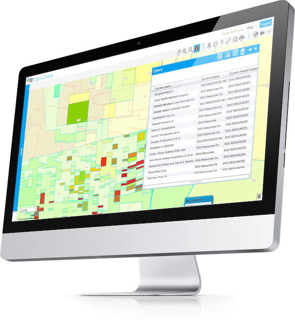
Tobin Data's Lease layer enables you to see where competitors are leasing across the U.S. before leases expire. Our interactive data shows critical insight into the mineral lease landscape enabling better business decisions. With Tobin, you can quickly identify activity and trends, so you can compete in the hottest shale plays with confidence.
Wells
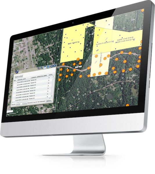
Tobin's Well layer gives you a distinct advantage by providing you with access to information on oil and gas permits, completions, and plugs. We use purpose-built accuracy software and a multitude of data sources, including high-resolution imagery, to hand-verify each well location.


