Oil and Gas Viewer Software
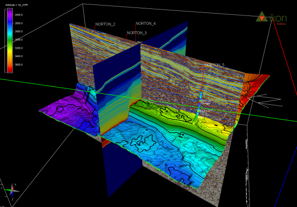
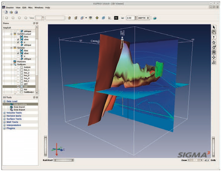
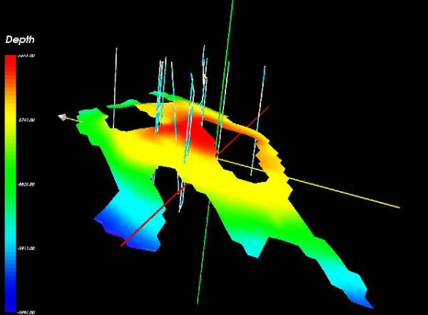
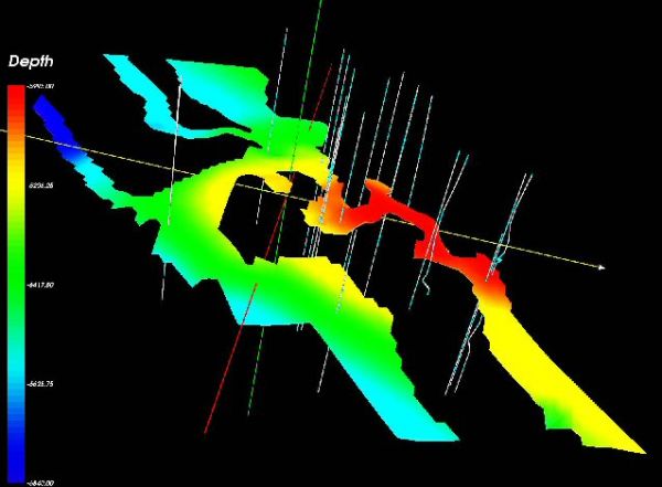
There are a number of 3D Viewer in the oil & gas industry which are used to display models in 3D space for better understanding of field and reservoir structure and dynamic behaviour. Recent developments in the field of 3D viewers allow engineers to display complex reservoir structure with use of powerful 3D viewer visualization engines.
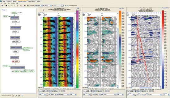
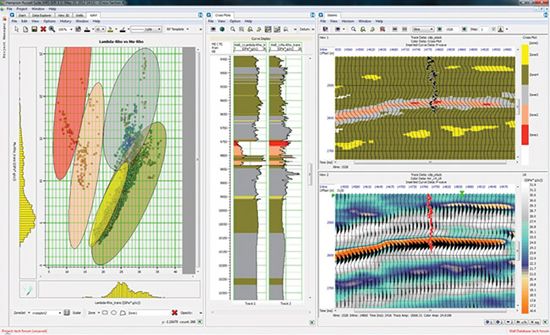
Geoview provides the power to visualize, interpret and manage seismic reservoir characterization projects easily and efficiently. Seamless visualization and interpretation functionality offers the ability to understand the reservoir complexity, while single window integration and data management too ...
Read More ...
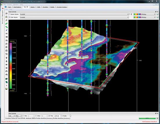
RokDoc CoViz , 3D visualisation for RokDoc
This exciting new offering from RokDoc delivers state-of-the-art visualisation capabilities. The complete RokDoc GeoPrediction platform has been enhanced by the inclusion of this visualisation capability, allowing users to better understand and analyse com ...
Read More ...
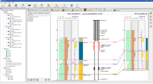
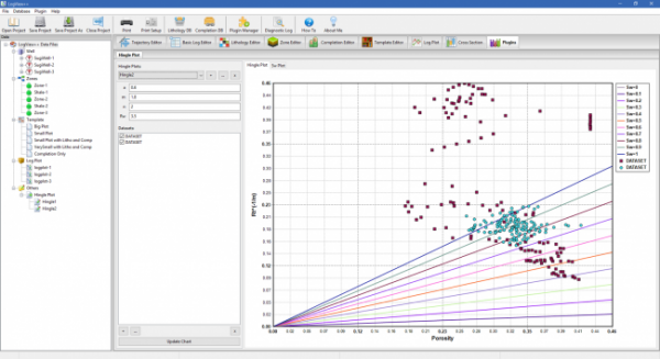
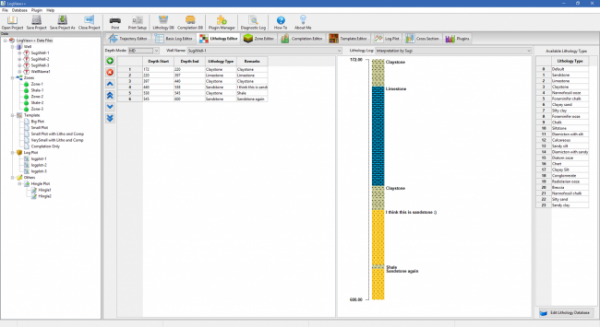
LogView++ is a sophisticated but easy-to-use application that lets you (especially engineer, geologist, and petrophysicist) to quickly manage well log data files, to be edited, analyzed using advance calculator, plotted as single well log plot, and also as cross-sectional plot compared with other lo ...
Read More ...
PDSView Popular
PDSView Software Package for Viewing Oilfield Graphics Data Files Display, annotate, print, and convert PDS files
The freeware PDSView software package allows you to display, annotate, print, and convert Schlumberger PDS files. PDSView software supports converting PDS files to GIF, CGM, TIFF, PS, a ...
Read More ...
Visualize and analyze high-resolution images
The WellEye 3D borehole data viewer is used to visualize and analyze high-resolution images from wireline and LWD imaging tools. This highly interactive, graphics-oriented, PC-based application provides 2D and 3D visualization of borehole images with sev ...
Read More ...
Industry leading 3D multi-volume interpretation and visualization solution
GeoProbe software is the industry leading 3D multi-volume interpretation and visualization solution. The software is designed to accelerate interpretation workflows from basin scale through detailed prospect and reservoir an ...
Read More ...
Common visualization for Geoscientists
Evaluating and developing assets requires managing data across domains, data types, and teams. Harness the collective expertise of your asset teams, reduce workflow cycle time, and make better E&P decisions with the DecisionSpace Base software – the founda ...
Read More ...
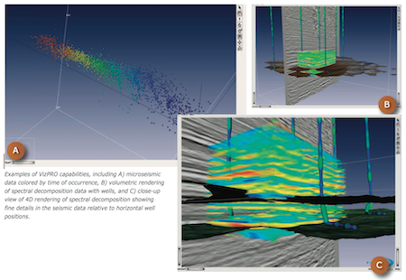
VizPRO Visualization Solution
VizPROTM is an advanced visualization tool for interactive interpretation, analysis and model building, and integrates with all data generated in the GeoPROTM environment. VizPRO leverages the power of 3D visualization to provide interactive solutions to the most compl ...
Read More ...
CGM Office software is intended for viewing, editing and printing of CGM, CGM + and CGM-Pipe graphic files.
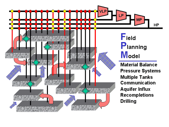
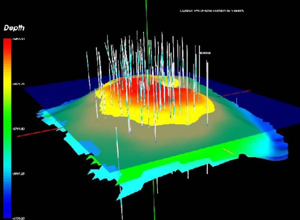
FPM uses 3D images to show levels, oil, wells, etc in a particular area

