Oil and Gas Viewer Software
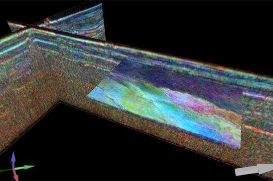
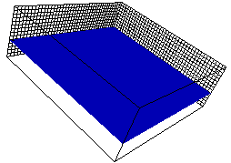
There are a number of 3D Viewer in the oil & gas industry which are used to display models in 3D space for better understanding of field and reservoir structure and dynamic behaviour. Recent developments in the field of 3D viewers allow engineers to display complex reservoir structure with use of powerful 3D viewer visualization engines.
Visualize Data
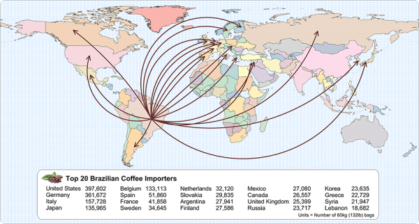
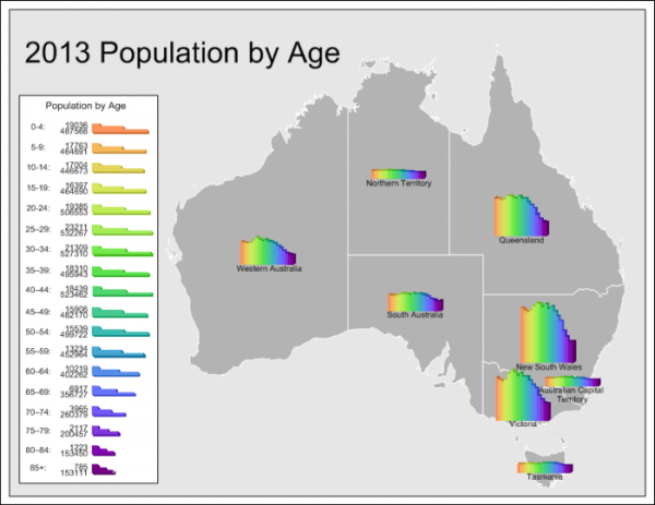
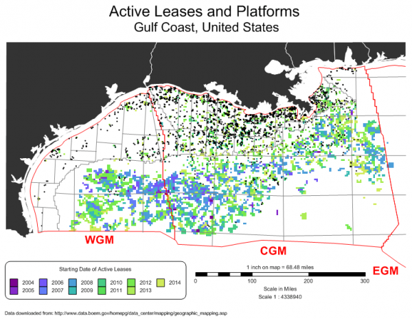
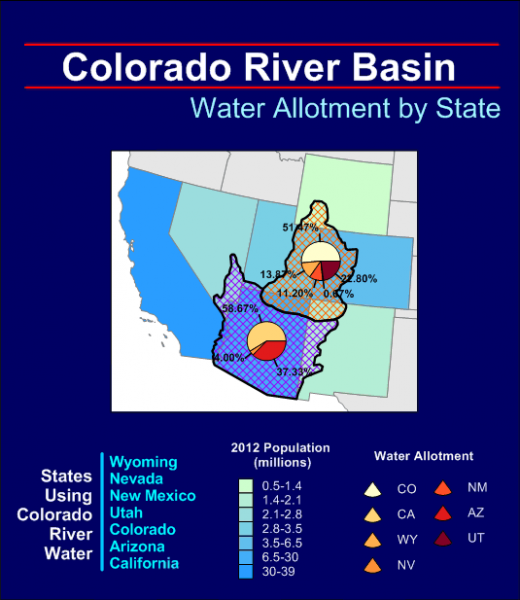
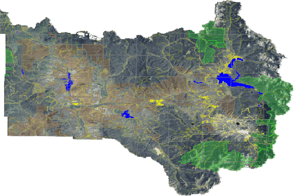
Make the most out of your data. Quickly produce publication-quality maps with MapViewer’s extensive thematic mapping and spatial analysis features. Distinguish patterns and trends in your data, understand the spatial relationship, and give clients and stakeholders the information the ...
Read More ...
Transform Data
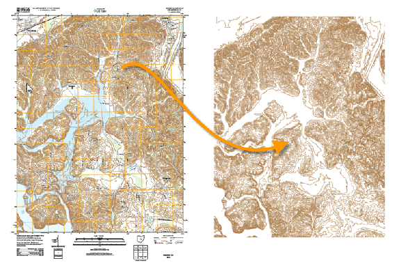
Don’t be limited by static data formats. Didger’s comprehensive digitizing, georeferencing, reprojection, tiling, and mosaicking features transform paper maps, graphs, photographs, and well logs into dynamic digital formats. Didger is a must-have tool for anyone working with inconsis ...
Read More ...
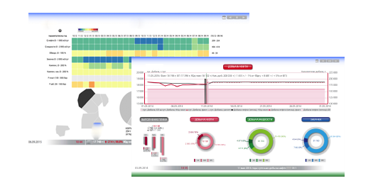
Web Dashboard product consists of many real-time dashboard and control room tools that visualize the data in most user-friendly way. Dashboards help companies to focus on opportunities and execution.
These real-time tools are often used by production technologists, field operators, drilling enginee ...
Read More ...
Enabling O&G Companies & ISVs to Rapidly Deliver Geoscience Innovation.
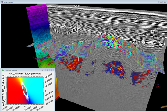
HueSpace is the only E&P software toolkit that combines lightning fast computation on GPUs and CPUs with state of the art domain-oriented, multi-dimensional visualization and intelligent data handling of E&P dat ...
Read More ...
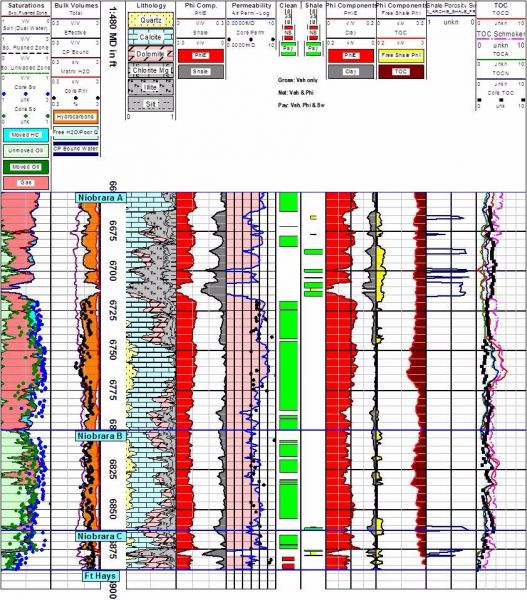
WMF and EMF Viewer
EagleImage allows you to view and print Windows metafiles (WMF) and enhanced metafiles (EMF). Print to any Windows supported output device, even continuous log plotting (if your print hardware supports it).
Key Benefits
Extremely fast viewer, with scrolling
Shareware allows ...
Read More ...
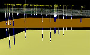
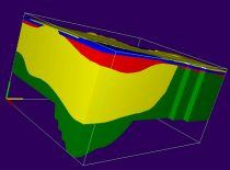
Create Informative and Impressive 3D Images for your Groundwater Flow and Transport Models!
Introduction
The software package 3D Master (GE) provides for three-dimensional visualization and animation of data from groundwater flow and transport models. The current version of GE uses any native MODF ...
Read More ...
Cutting Edge Mapping and Spatial Analysis
MapViewer is an affordable mapping and spatial analysis tool that allows you to produce publication-quality thematic maps easily. Independent consultants, scientists, GIS analysts, sales organizations and numerous government agencies are discovering importa ...
Read More ...
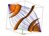
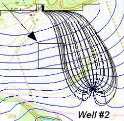
MODPATH, "A Particle Tracking Post-Processing Package for MODFLOW, the USGS 3-D Finite-Difference Ground-Water Flow Model (MODFLOW)," is the most widely-used particle-tracking program in the world.
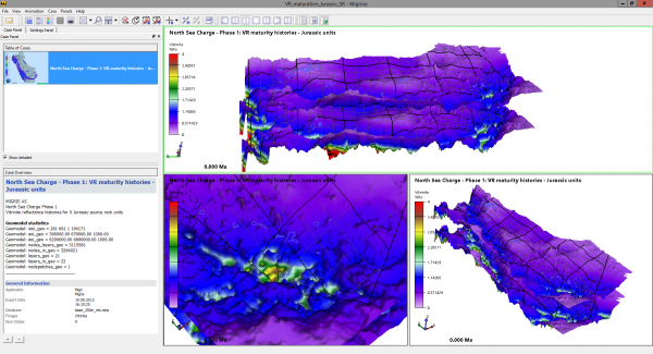
FREE VIEWER FOR MIGRIS RESULTS
Migrino is our free viewer that allows 3D visualization of exported simulation results from MigriX and Migri. Share your results with partners and colleagues.
Features
Free download
Animation of basin evolution and/or uncertainties
Available for Windows and Linu ...
Read More ...
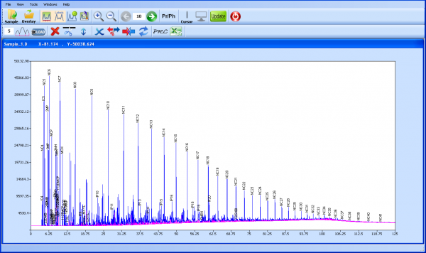
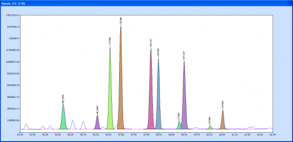
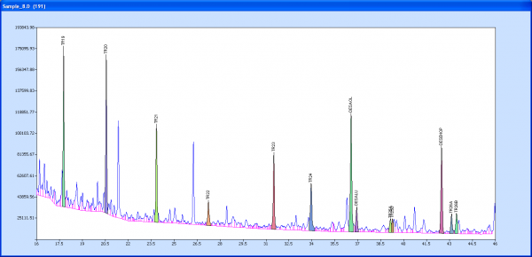
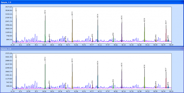
OilPrints is a powerful program designed to display data generated by gas chromatography and gas chromatography-mass spectrometry (biomarker) analysis without the need for purchasing high-priced, machine-specific software. Automating correlations between samples for greater speed and convenience, th ...
Read More ...

