Oil and Gas Viewer Software
There are a number of 3D Viewer in the oil & gas industry which are used to display models in 3D space for better understanding of field and reservoir structure and dynamic behaviour. Recent developments in the field of 3D viewers allow engineers to display complex reservoir structure with use of powerful 3D viewer visualization engines.
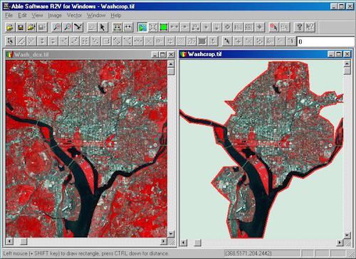
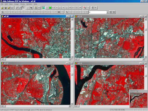
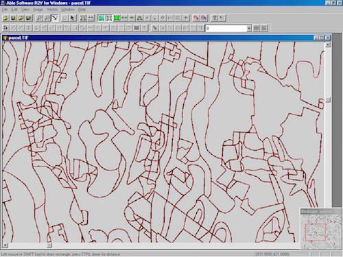
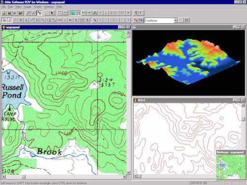
R2V is an advanced raster to vector conversion software for automated map digitizing, GIS data capture and CAD conversion applications. R2V is currently being used in more than 60 countries by thousands of users for mapping and GIS data conversion applications.
R2V supports fully automatic vectoriz ...
Read More ...
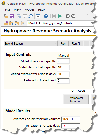
GoldSim Player allows you to view, navigate, and run an existing GoldSim model without having to purchase GoldSim. Depending on how the model was created by the author, you can even modify key inputs to the model before running it. The GoldSim Player can also be used as a slave when carrying out dis ...
Read More ...
What is GeoPlot?
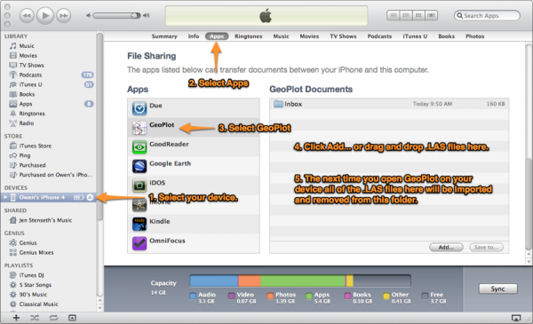
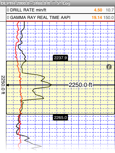
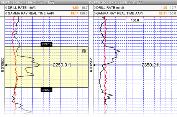
GeoPlot is a well management and geological survey application for iOS devices. Import well log files in LAS 2.0 format to GeoPlot through mail or using iTunes. Create plots from imported logs then annotate, adjust depth settings and scale, view two plots for side by side and adjus ...
Read More ...
Unlimited, multi-scale, high-definition DFO viewer
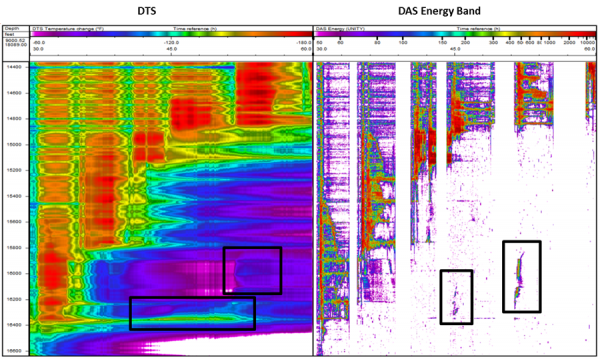
ARIANE is a powerful visualization tool specifically designed to manage and analyze Distributed Acoustic Sensor (DAS) data.
During acquisition, DAS data is accumulated into hard-drives in obscure formats while it can be usually visualized through ...
Read More ...
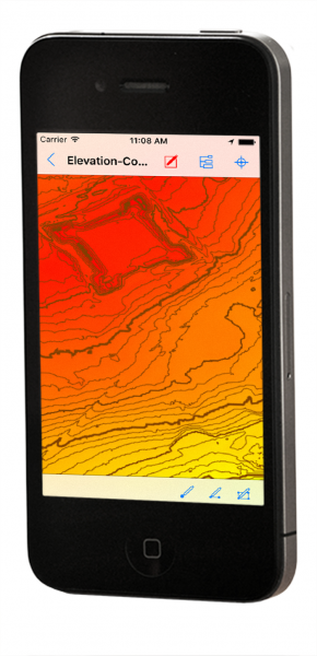
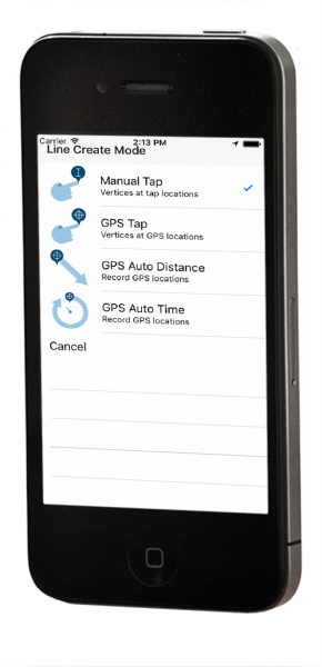
Global Mapper Mobile is a powerful GIS data viewing and field data collection application for iOS and Android (Beta) that utilizes the device's GPS capability to provide situational awareness and locational intelligence for remote mapping projects.
Global Mapper Mobile Overview
A perfect complemen ...
Read More ...
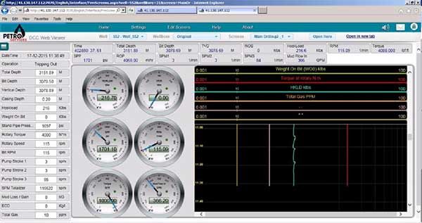
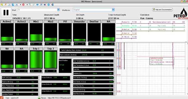
DCC WebViewer is an innovative web-based solution to monitor drilling information in realtime, as well as displaying historical data. No need to install complicated software with long procedures for licensing and registration in order to view your data, no need to stay in office. Only login to our w ...
Read More ...
Experience maximum flexibility and simplicity while using DCC Ultimate Viewer desktop version. High customizable WYSIWYG style editor to draw your view screen, scroll through all the well, monitor all the wells simultaneously, print on spot the graph on screen with a single click.
All the time conn ...
Read More ...
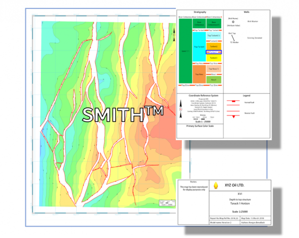
2D MAPPING AND VISUALIZATION MODULE
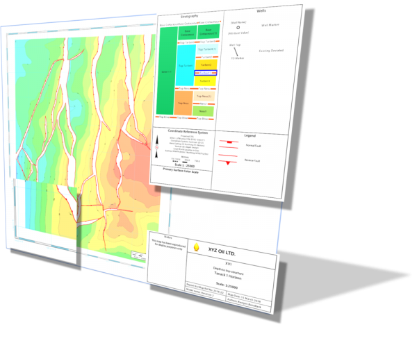
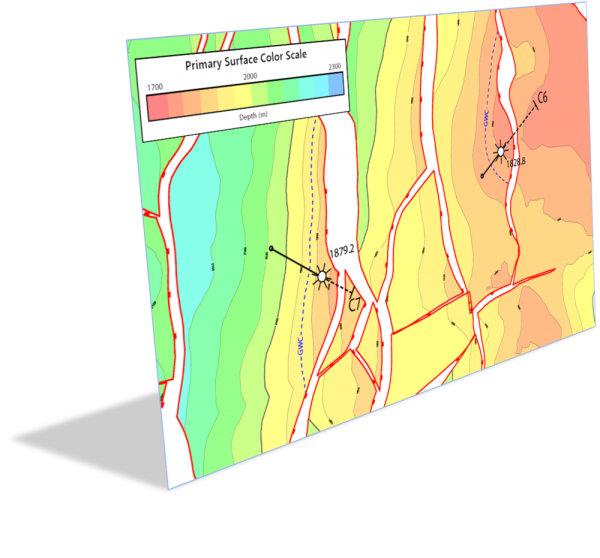
COMPILE PROFESSIONAL, PUBLICATION QUALITY SUBSURFACE MAPS QUICKLY AND REPEATEDLY WITH COGNITIVE GEOLOGY'S INNOVATIVE 2D GEOSPATIAL MAPPING SOLUTION
SMITH is a new age map design and rendering tool developed to support the visualization and publication of 2D geos ...
Read More ...
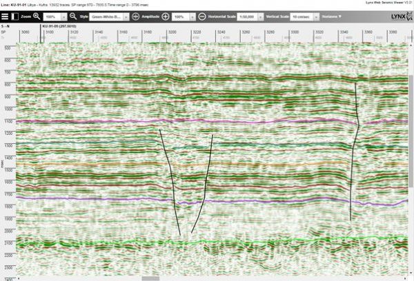
iSeisview is a seismic viewer app for web browsers. It will display 2D lines and 3D inline and crossline profiles, with an interactive selection of display styles, zoom levels, horizontal and vertical scales and trace amplitudes.
Horizon and fault interpretation may optionally be displayed on the s ...
Read More ...
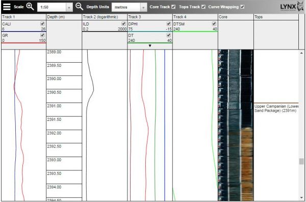
iLogview is a wireline log viewer app for web browsers. Digital composite logs can be viewed interactively in a multi-track display, with formation tops and core photos. Individual curves can be turned on and off, and the vertical scale can be changed intuitively by users and switched between metres ...
Read More ...

