Geology Software
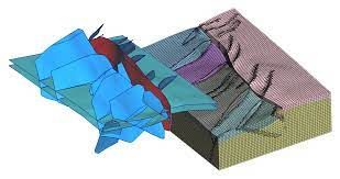
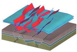
Geological Engineering include understanding and analyzing field depositional environment along with earth techtonic movements to create a reliable 3D model of underground reservoir structure (e.g., geological model). Geological models may be complicated depending on the number of oil bearing horizons and faults.
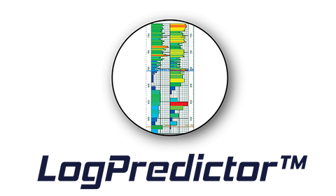
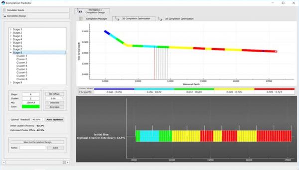
Using commonly available surface drilling data and the Corrected Mechanical Specific Energy (CMSE) to estimate geomechanical logs, pore pressure, stresses and natural fracture. Geoengineered completions based on drilling derived logs.
Features:
DrillPredictor™ includes a new technology that uses s ...
Read More ...
Tessael - A Geologic Meshing Company
Not all geologic meshing problems are equal!
Lots of them can't be taken care of by off-the-shelf solutions.
At Tessael, we go the extra miles and make the difference by catering for your specific meshing needs using our GeO2 technology.
Tessael is a spin-off ...
Read More ...
An Interactive application for displaying and editing the geologic cross sections. Finding, characterizing and exploiting new and existing subsurface trends are increasingly complex. To overcome these hurdles, we have strived continually to innovate the way we work; with the inception of the XSectio ...
Read More ...
Fully Integrated 3D Interpretation
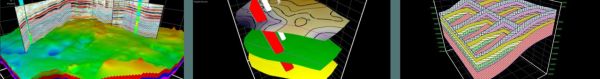
GVERSE Geomodeling is a sophisticated integrated solution for subsurface geological/reservoir modeling. Detailed analysis of the reservoir is always crucial prior to field and well planning. With GVERSE Geomodeling, making an informed decision is much easier as th ...
Read More ...
Plan more wells, drill more wells, and do so faster, and with greater accuracy. Geoscientists today are tasked with this challenge as horizontal well drilling and "factory production" development methodologies increase in popularity. As they seek to tackle this seemingly daunting challenge, these sa ...
Read More ...

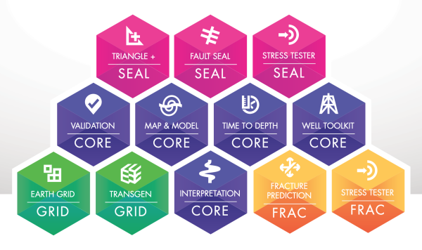

T7, the successor to TrapTester, is an intuitive 3D workspace in which to accurately interpret, validate, model, build and analyse from air-tight framework to fault seal, stress and fracture prediction. T7 offers the ability to create and translate your robust geological model into a truly represent ...
Read More ...
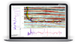
geoDataMiner Well and Seismic dataset management and mining to build structure and reservoir maps.If the seismic is not available, the sparse well property can be interpolated to study the distributions of reservoir parameters. In addition to Support Vector Regression (SVR) method for interpolation, ...
Read More ...
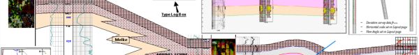
logW2WCorrelation Designed for well-to-well interactive correlation. It supports both stratigraphic tops and permeable layers correlation. Datum of correlation can be sea level based or stratigraphic depth datum. The log-track framework and logs can be displayed and the log curves and well markers c ...
Read More ...