Geoscience Software
Geoscience is the branch of science dealing with planet earth, including features on the earth’s surface, and below it. In petroleum industry, geoscientists play an important role in finding underground oil and gas reservoirs. They are also involved in mapping and interpreting underground surface interpretation. Today there are a number of advance geophysical software packages available for processing, interpreting and running inversion on reservoir seismic data.


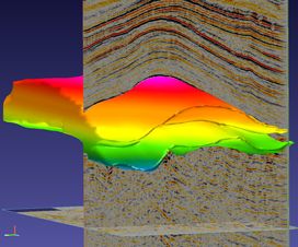
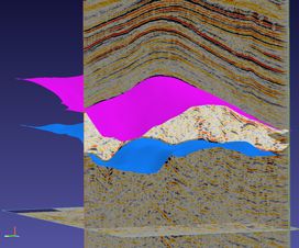
SaltSpark accurately defines salt bodies, no matter how complex or unusual they may be. This innovative solution accurately brings the most complicated structures into clear definition. Iterative migrations run much faster and deliver superior imaging results.
See Where Salt Ends and Pay Zone Begin ...
Read More ...
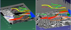
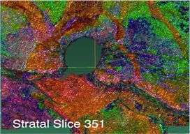
PaleoSpark delivers the most coveted outcome in stratigraphic interpretation – a fast and accurate depiction of the true paleo-depositional environment. This revolutionary solution removes the structure that’s standing in the way of successful characterization. Complexly faulted areas now reveal cha ...
Read More ...
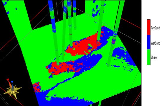
LithoSI quantifies uncertainty in seismic lithology and fluid prediction. Using multiple elastic parameters from the inversion of seismic data, LithoSI performs a supervised Bayesian classification to deliver probability cubes of predicted lithology and/or fluid properties. The integrated inversion ...
Read More ...
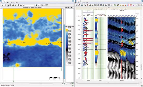
Emerge is a geostatistical, attribute prediction module that can predict property volumes using well logs and attributes from seismic data. The predicted properties can be any log types available, such as porosity, velocity, density, gamma-ray, lithology and water saturation. Emerge can also be used ...
Read More ...
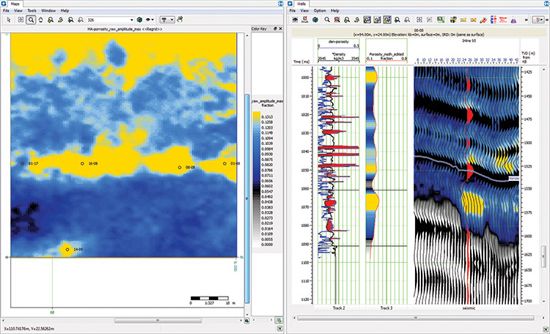
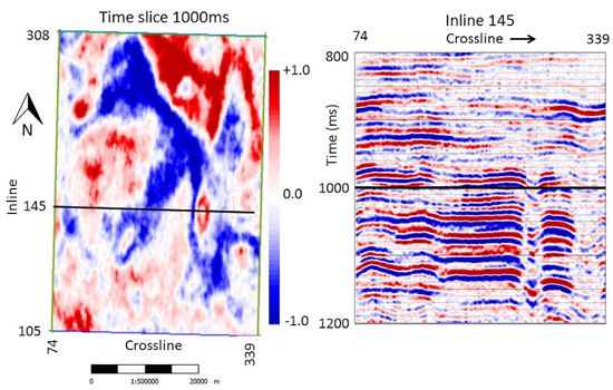
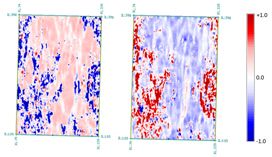
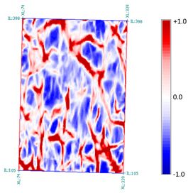
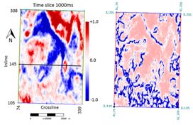
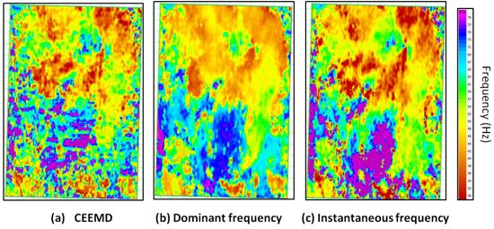
Attributes is designed to create and extract a collection of advanced, multi-trace seismic attributes to enhance the seismic interpreter’s ability to analyse frequency content, reduce noise, detect fractures and other discontinuous features in seismic volumes. Single trace attributes are available i ...
Read More ...
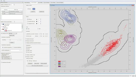
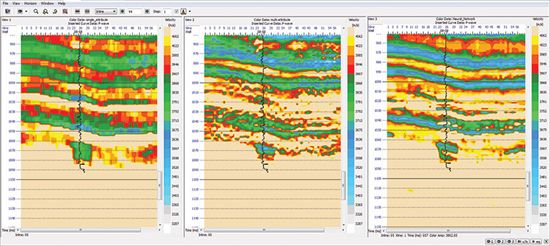
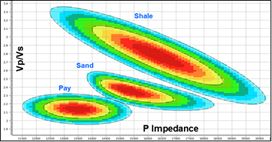
Facies & Fluids Probabilities (FFP) is an interactive interpretation tool for determining lithofacies from the outcomes of acoustic and elastic inversions. Facies are usually defined in the petrophysical domain, after which proxies are confirmed in the elastic domain. Typically P Impedance and V ...
Read More ...
Body Capture, Net Pay, and Well Planning
Jason inversion products produce rock property volumes such as P-impedance, S-impedance, and Vp/Vs. Used in combination, these volumes of rock properties can almost always be used to discriminate pay zones in your 3D survey.
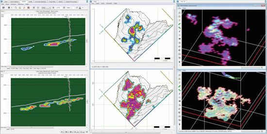
BodyChecking provides the tools ...
Read More ...
Our patented and uniquely powerful tools enable you to accurately interpret exactly what you see using a data-driven but interpreter guided approach.
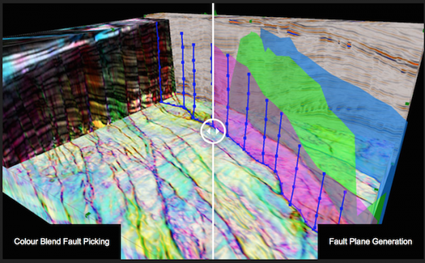
Being able to extract the information from the data is the key to generating value. GeoTeric is the only application to enable full horizon, fault an ...
Read More ...
Interrogate the geophysical response with intuitive data-driven and semi-supervised tools, while maintaining the geological context.
Correlating your well-data with the seismic and attribute response, to build your remarkably accurate reservoir model, completes the workflow. Any classified volume h ...
Read More ...
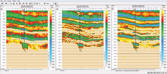
Seismic anisotropy is widely observed in survey and log data alike. For some, it’s an issue that needs to be removed or corrected for in the data and for others it’s something that gives information that can be exploited; at Ikon Science we have tools and expertise available for both.
Velocity data ...
Read More ...

