Geoscience Software
Geoscience is the branch of science dealing with planet earth, including features on the earth’s surface, and below it. In petroleum industry, geoscientists play an important role in finding underground oil and gas reservoirs. They are also involved in mapping and interpreting underground surface interpretation. Today there are a number of advance geophysical software packages available for processing, interpreting and running inversion on reservoir seismic data.
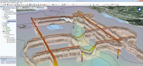
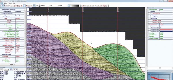
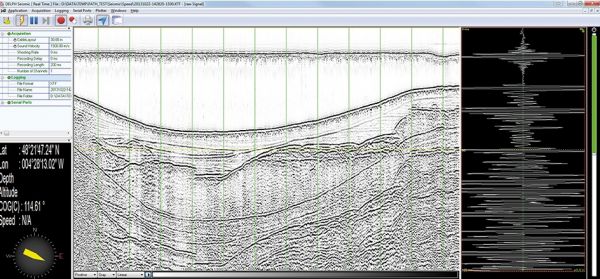
DELPH Seismic is the most complete acquisition, processing and interpretation software package designed to provide geologists and geophysicists with easy access to all data collected from high-resolution seismic systems and sub-bottom profilers.
DELPH Seismic acquisition is a robust data logger for ...
Read More ...
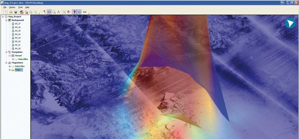
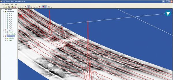
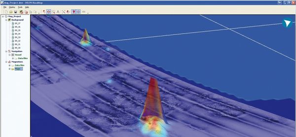
DELPH Mag locator is a unique operational solution for the mapping of buried objects; in a few comprehensive steps, it filters and maps magnetic anomalies. Although requiring no prior expertise in magnetic science, it provides an accurate magnetic anomaly map to locate magnetic sources.
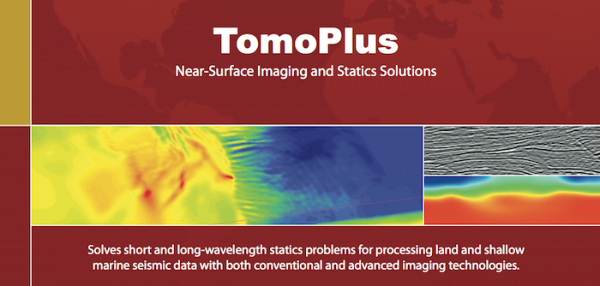
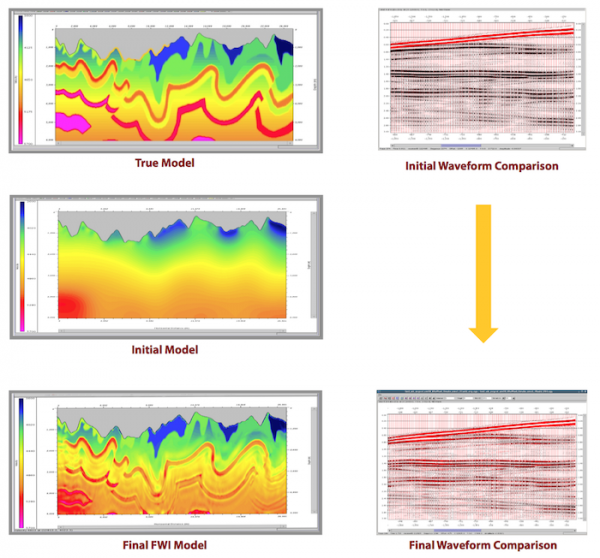
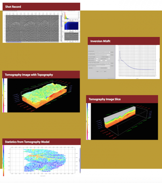
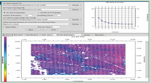
TomoPlus is a comprehensive near-surface solutions package. It is designed to obtain an accurate near-surface velocity model , and derive accurate long and short wavelength statics solution to help seismic data processing.
TomoPlus offers both conventional and high-end near-surface refraction solut ...
Read More ...
GeoTomo's 2-D & 3-D Seismic Data Processing System
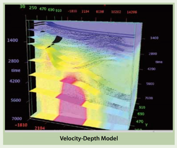
GeoThrust has been designed with a workflow architecture to obtain an accurate earth model and earth image in time and in depth from data recorded with irregular geometry in areas with rough topography, complex near-surface, and complex subsurf ...
Read More ...
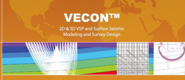
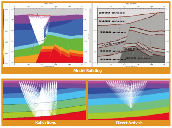
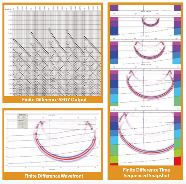
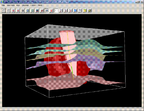
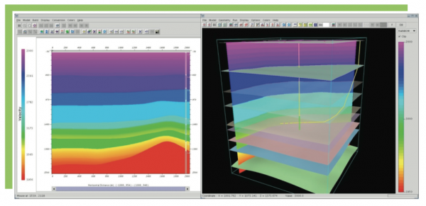
VECON is a powerful 2D/3D VSP and surface seismic survey design and modeling system that makes completion of a variety of difficult jobs extremely efficient. Designed for any level of geoscientists, VECON features a fast, accurate, intuitive and easy-to-use toolkit for working on site, remotely thro ...
Read More ...
MiVu Popular
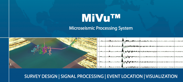
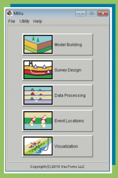
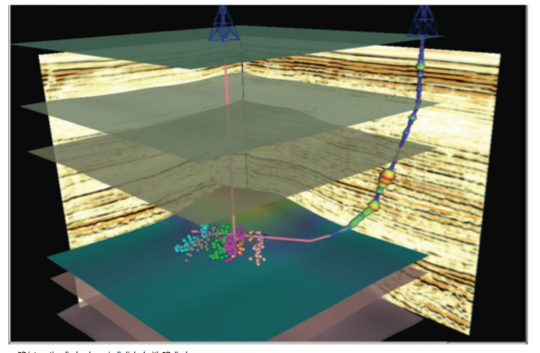
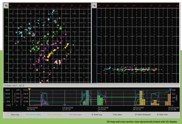
MiVuTM is a software package designed to perform microseismic monitoring during hydraulic fracturing.
MiVuTM offers capabilities for building simple and complex geologic models interactively, designing optimal microseismic monitoring geometry, processing data with user-defined workflows, imaging ev ...
Read More ...
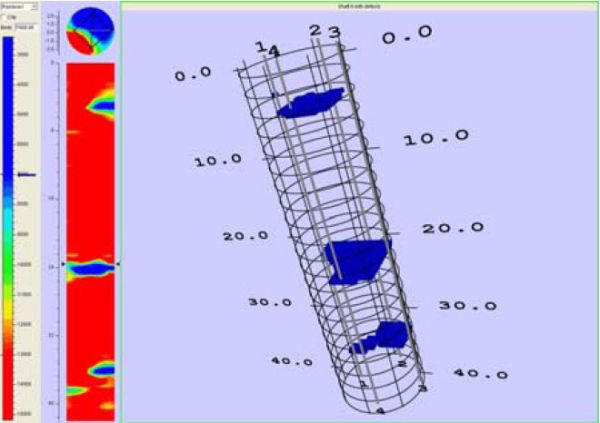
TomoSonic is designed to process Crosshole Sonic Logging (CSL) data and help you identify bridge shaft defects in real time.
TomoSonic includes six modules for CSL tomographic imaging. Time Picker is designed to pick traveltimes from CSL waveform data automatically or manually. Model Builder helps ...
Read More ...
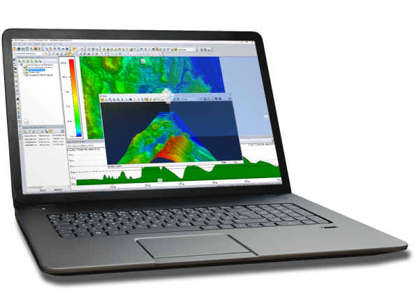
The Global Mapper SDK provides a Windows DLL which allows much of the functionality of Global Mapper to be accessed from third party applications. The SDK includes both native 32-bit and 64-bit DLLs, so you can target any Windows system. The Global Mapper SDK is a standard Windows DLL and can be use ...
Read More ...
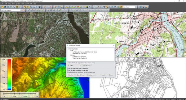
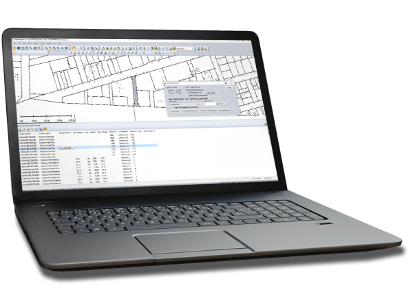
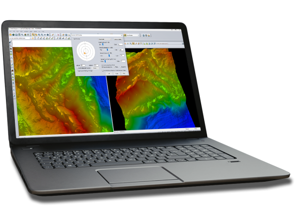
Global Mapper is an affordable and easy-to-use GIS application that offers access to an unparalleled variety of spatial datasets and provides just the right level of functionality to satisfy both experienced GIS professionals and beginning users.
Global Mapper Overview
Equally well suited as a sta ...
Read More ...
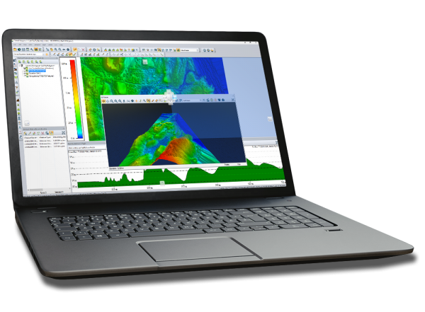
Harness the power of GeoCore - Blue Marble's all in one geospatial data conversion API.
GeoCore Overview
Used by hundreds of commercial geoscience applications, it's likely you've used it before. GeoCore provides software developers with powerful coordinate transformation capabilities as an embedd ...
Read More ...

