Geoscience Software
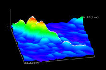
Geoscience is the branch of science dealing with planet earth, including features on the earth’s surface, and below it. In petroleum industry, geoscientists play an important role in finding underground oil and gas reservoirs. They are also involved in mapping and interpreting underground surface interpretation. Today there are a number of advance geophysical software packages available for processing, interpreting and running inversion on reservoir seismic data.
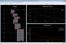
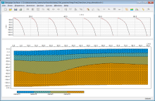
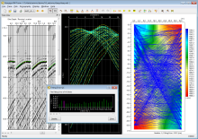
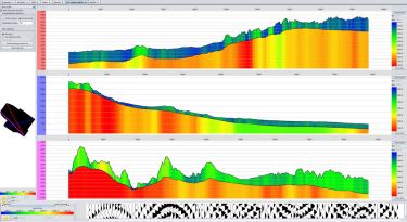
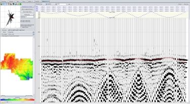
SURFACE is able to process active surface waves with SASW and MASW. The dispersion spectrum can be calculated in F-K, F-V, or F-P domain, where the fundamental and high-mode dispersion curves are interactively picked. The robust forward modeling and the global genetic algorithm (GA) assure the quick ...
Read More ...
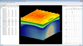
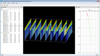
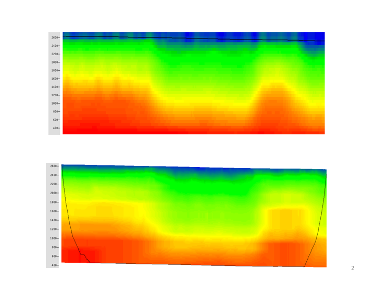
SURFACE3D loads dispersion curves generated from SURFACE or SURFACE PLUS and then plots the velocity volume as a cube or fence in 3D surface wave surveys.
Features
Load dispersion curves generated from SURFACE or SURFACE PLUS
Check and redefine survey locations
Plot dispersion curves
Build ve ...
Read More ...
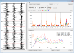
MICROTREMOR MICROTREMOR uses spectrum analysis to get the predominant period and frequency of a site from ground motions. The amplitude or power spectrum and H/V spectral ratio can be plotted together.
Features
Select and analyze time segments
Analyze amplitude or power spectrum
Calculate and ...
Read More ...
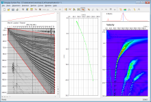
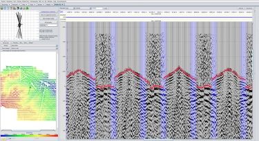
XW TOMO
The velocity between wells can be estimated with travel time. Based on the grid ray tracing and regularized inversion approach, XW TOMO is capable of deriving the velocity structure among multiple vertical or deviated wells, while also allowing ground-surface variation.
Features
Quickly ...
Read More ...
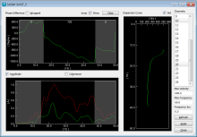
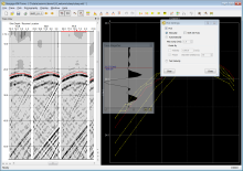
EFIT allows you to load or interactively define a velocity model and fit the synthetic refraction and reflection curves to the corresponding events on seismic records.
Features
Load velocity model from a text file
Interactively define velocity model
Calculate and display synthetic reflection a ...
Read More ...
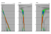
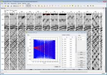
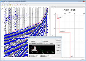
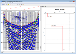
PS LOG is designed to efficiently process data in well velocity surveys. After the depth of receivers and the direction of a shot are defined, first breaks can be picked with the mouse button on P and S waves simultaneously in the analysis window. Meanwhile, the interval velocity, average velocity, ...
Read More ...
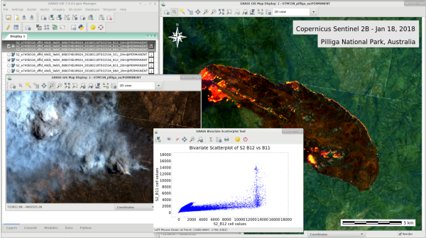

GRASS GIS, commonly referred to as GRASS (Geographic Resources Analysis Support System), is a free and open source Geographic Information System (GIS) software suite used for geospatial data management and analysis, image processing, graphics and maps production, spatial modeling, and visualization. ...
Read More ...
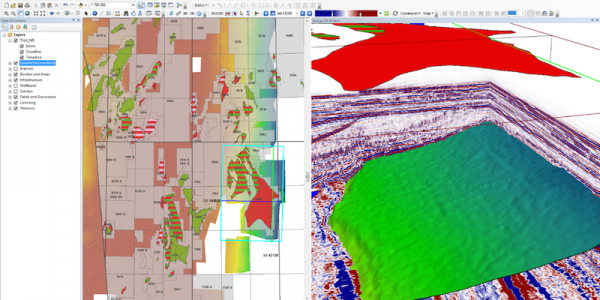
Seismic Explorer for ArcMap is an ArcGIS extension for managing and visualizing seismic data. It extends your ArcGIS desktop environment and brings your cultural data together with seismic data, bathymetry, interpretation, horizons and wells in an integrated 3D window inside ArcMap.
Features:
Su ...
Read More ...
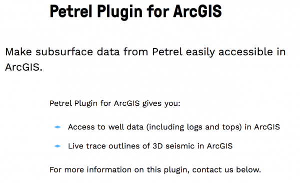
Make subsurface data from Petrel easily accessible in ArcGIS. Petrel Plugin for ArcGIS gives you: Access to well data (including logs and tops) in ArcGIS Live trace outlines of 3D seismic in ArcGIS
Flatirons™ Software Products
Flatirons™ software sets the standard for front end seismic data processing. Assure data processing accuracy with our integrated products:
Geometry QC
First break picking
Multiple methods for analyzing and modeling refraction statics
Eikonal tomography
Variable N ...
Read More ...