List Categories and Listings by G
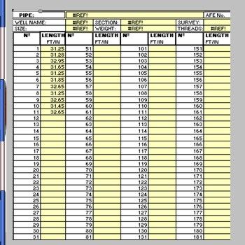
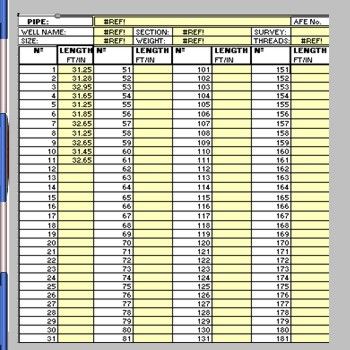
Gas Lift Mandrel Spacing
Easy to use Gas Lift Mandrel Spacing program
Simply update the tubing tally,
Enter the required depths of each mandrel.
The program works out which joint or stand of tubing to install the Gas Lift Mandrels
Also with the option of tubing racked back in the derrick or new ...
Read More ...
Calculate the required position in the tubing string where the GLM should be placed Option to selecttubing measured and picked up or tubing stood back in the derrick. The program handles up to 10 GLMs
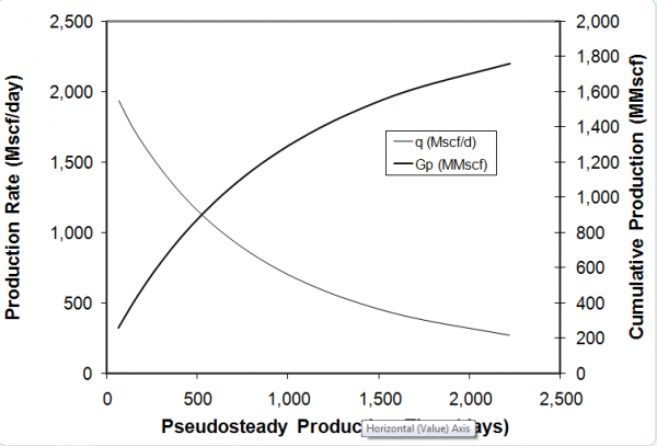
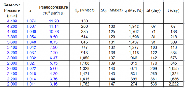
This spreadsheet calculates and making the prediction for gas well production. Find a link to download this spreadsheet
How to use gas well production forecast spreadsheet :
Input data parameter with blue text format and the parameter bellow
Initial gas Gi
Pressure initial Pi
Zi
Change blue ...
Read More ...
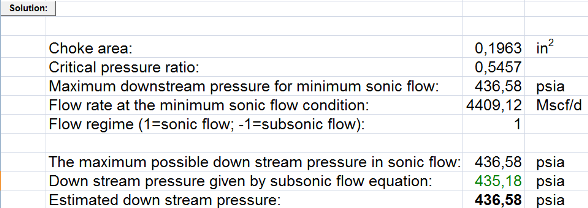
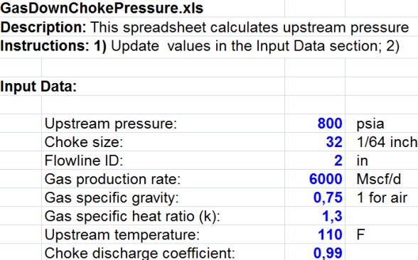
Gas down choke pressure spreadsheet description : this spreadsheet calculates upstream pressure at choke for dry gases.
Instructions:
Update values in the Input Data section of Gas down choke pressure
such as:
Upstream pressure:
Choke size:
Flowline ID:
Gas production rate:
Gas specific gr ...
Read More ...
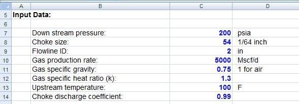
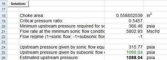
Gas Up Choke Pressure This spreadsheet calculates upstream pressure at choke for dry gases. Instructions: Update parameter values in blue View Results
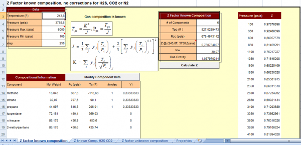
Gas Correction Calculator is spreadsheet for gas correction. Basicly the formulas came from basic gas formulas to calculate
Z factor. Before we want to calculate Z factor we must know the composition of each gas component.
Gas component example
Methane , ethane , buthane, iso butane , iso pentane ...
Read More ...
Gas Properties Spreadsheet Popular
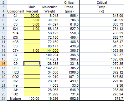
Gas Properties Spreadsheet is the tools to calculate properties of gas such as
Density of gas
Gas FVF
Gas gravity
This Gas Properties Spreadsheet
Simple to use but you must know value of gas component and point of molecular weight, critical pressure, critical temperature
View of input Gas Prop ...
Read More ...
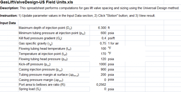
This spreadsheet performs computations for gas lift valve design spacing and sizing using the Universal Design method. Instruction: Update parameter values in the Input Data section Click “Slotion” button View result
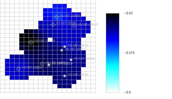
The Gridding and Mapping Web Application is an interactive process that assists the user in building simple color contour maps of Oil & Gas Well data, the user is in control of what data is to be mapped.
The Gridding and Mapping Web Application saves the user's data on the user's PC and not at ...
Read More ...
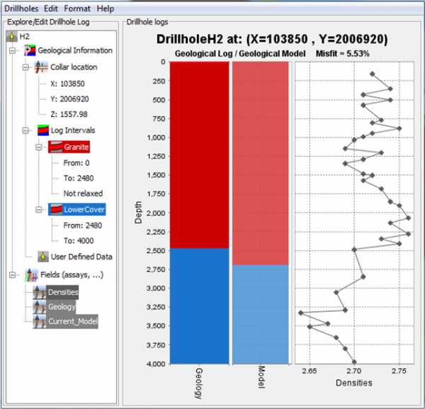
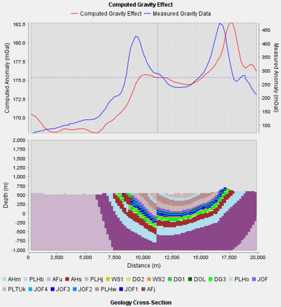
GeoModeller is software for building complex, steady-state 3D geological models, and performing forward & inverse geophysical modelling directly from your project
Comprising an intuitive editor, drill holes and grids/mesh managers, and modules for 2D/3D geophysical and geothermal modelling, and ...
Read More ...
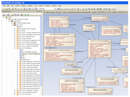
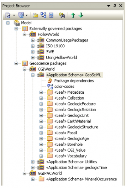
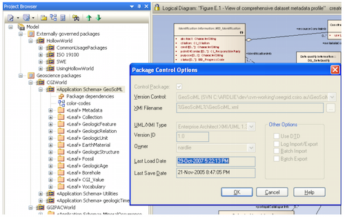
GeoSciML or Geoscience Markup Language is a GML Application Schema that can be used to transfer information about geology, with an emphasis on the "interpreted geology" that is conventionally portrayed on geologic maps. Its feature-type catalogue includes Geologic Unit, Mapped Feature, Earth Materia ...
Read More ...
RESOURCE ESTIMATION AND MODELLING SOFTWARE
Genesis is the fruit of more than 30 years of expertise in software development for the modeling of mineral resources. Indeed, in 1981, SGS, formerly Gamma Geostat International Inc. was among the pioneers in computer based geostatistical methods and had c ...
Read More ...
The Material Balance application automatically calculates original gas in place (OGIP), estimated ultimate recovery (EUR), BHP/Z vs. cumulative gas production and Tc and Pc properties from gas gravity while adjusting for contaminants. Using the popular Cullender-Smith (1956) method as modified by Ry ...
Read More ...
Allows users to work on data between Petrel* and OpendTect without copying.
Benefits
Access 3D seismic without copying
Import and export:
2D & 3D seismic
3D horizons
Faults
Polygons
Wells, logs & markers
Wavelets
Polygon data
Pick set data
Import & Export multiple items at ...
Read More ...
Charisma seismic interpretation software is part of the GeoFrame integrated reservoir characterization system. It is specifically designed for 2D, 3D and 4D seismic interpretation, with integrated modules including ASAP, Variance Cube, InDepth and SeisClass, along with the traditional 2D & 3D in ...
Read More ...
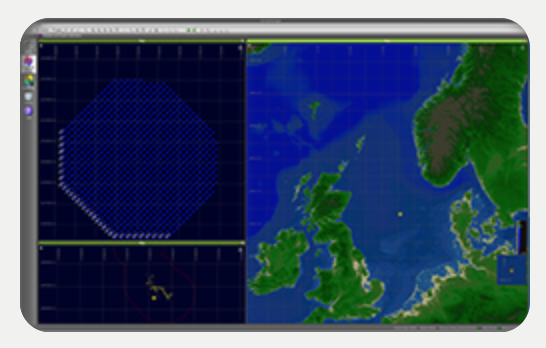
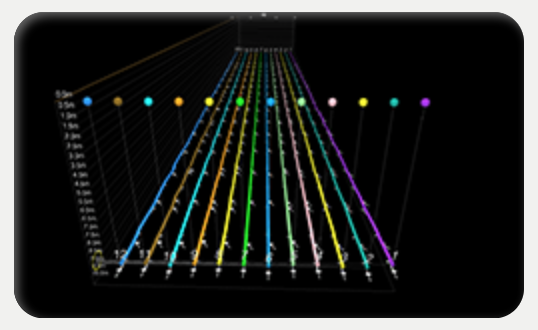
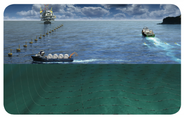
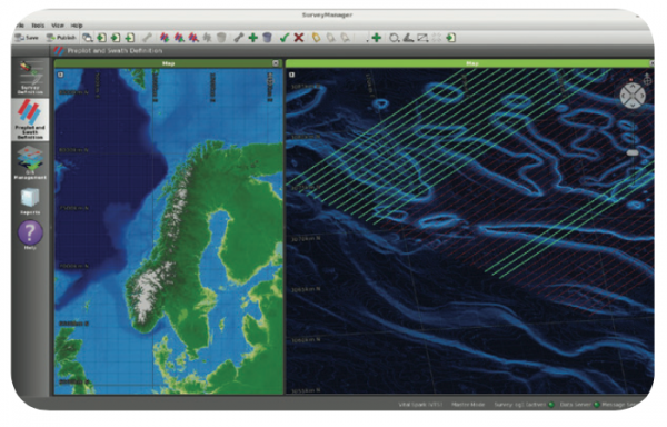
Setting the industry standard for nearly 20 years and with more than 20 licenses globally, the Gator seabed navigation, Command & Control software is designed to meet the unique challenges of distributed, multi-vessel ocean bottom (OBC, OBN), transition zone (TZ), and electromagnetic (EM) data a ...
Read More ...
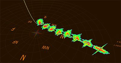
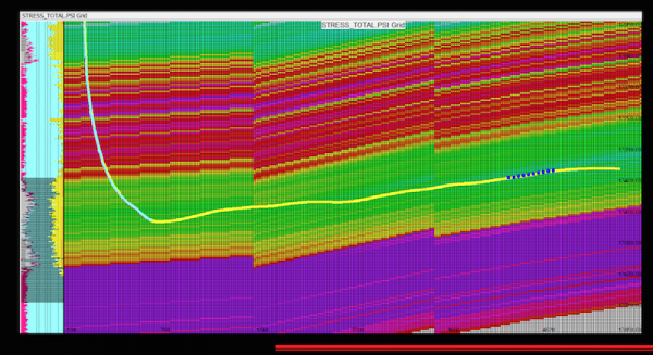
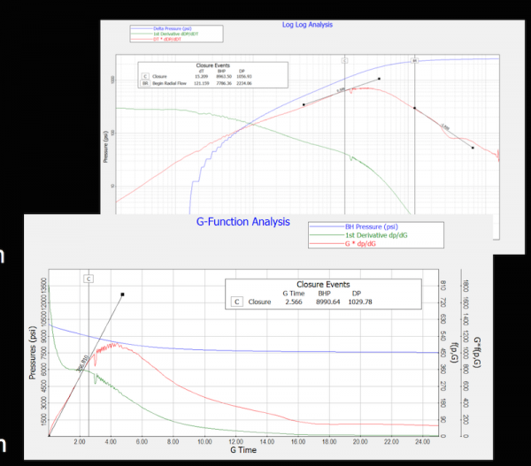
GOHFER® Popular
GOHFER® software; geomechanical fracture simulator
GOHFER® software is a multi-disciplinary, integrated geomechanical fracture simulator that incorporates all the tools necessary for conventional and unconventional well completion design, analysis and optimization. GOHFER, which stands for Grid Ori ...
Read More ...
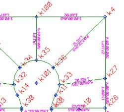
Surveying, Mapping and Subdivision Design
GWN-COGO is a comprehensive tool for surveying, mapping and subdivision design. GWN-COGO is available as an AutoDesk or MicroStation add-on providing a low-cost surveying application alternative which runs inside AutoCAD or MicroStation. GWN-COGO provides s ...
Read More ...
Digital Terrain Modeling and Contour Mapping
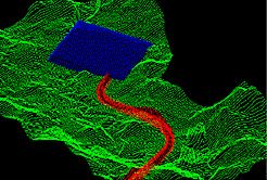
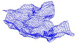
GWN-DTM is a powerful digital terrain modeling package ideal for even the biggest civil engineering projects. GWN-COGO is available as an AutoDesk or MicroStation add-on providing a low-cost surface contouring application alternative which runs inside Au ...
Read More ...
Surface Modeling, Mapping & Design
GWN-SURF is an ideal application for surface modeling and mapping projects. GWN-SURF is a world class surface modeling package, with advanced contouring, profiling and slope analysis capabilities. GWN-SURF is available as an AutoDesk or MicroStation add-on pro ...
Read More ...

