List Categories and Listings by L
LogPlot 8 - the standard in log plotting software
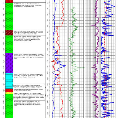
LogPlot software has been used by geoscientists since 1983 to display their geotechnical, environmental, geophysical, mud/gas, and mining data as a graphic boring log.
Compile the data into the design at any vertical scale for single-page, multi-pa ...
Read More ...
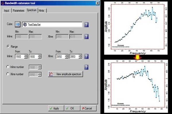
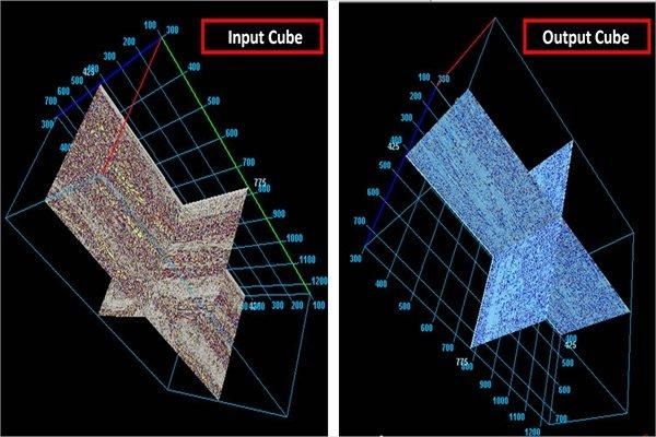
Generation & viewing of amplitude v/s frequency spectrum.
This plug-in provides the additional utility of generating & viewing of the amplitude vs. frequency spectrum of an input cube, an in-line or X-line to validate the bandwidth of the input & processed cubes. The spectrum is an actu ...
Read More ...
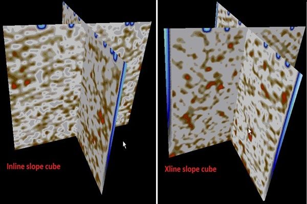
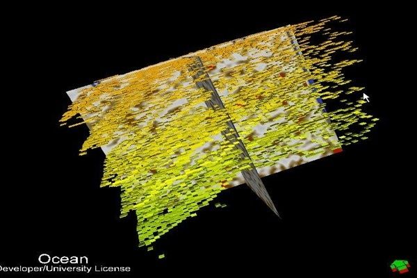
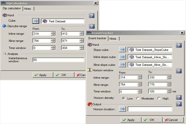
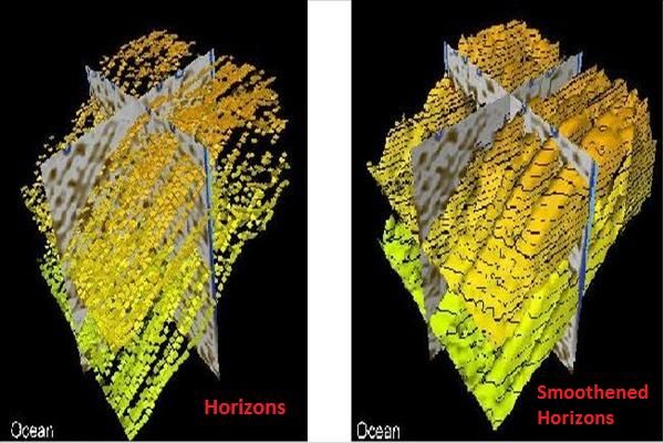
Stack of horizons generated for a given time window
Precise and smoothened bundle of horizons are generated by tracking of events based on local dip and azimuth calculations. It contributes to the automation of the process of creating dense set of horizons based on the time window provided, which a ...
Read More ...
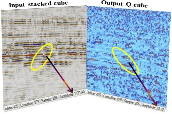
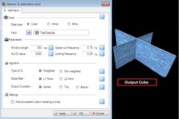
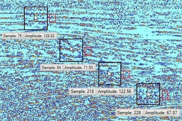
Estimated Q for lithologic & hydrocarbon identification.
In addition to velocity and density, reliable estimates of Q could be a great help in improved understanding of lithology and physical state of subsurface rocks. Also the Q estimates help in hydrocarbon indicator, for example strong atten ...
Read More ...
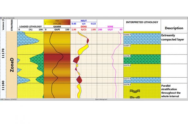
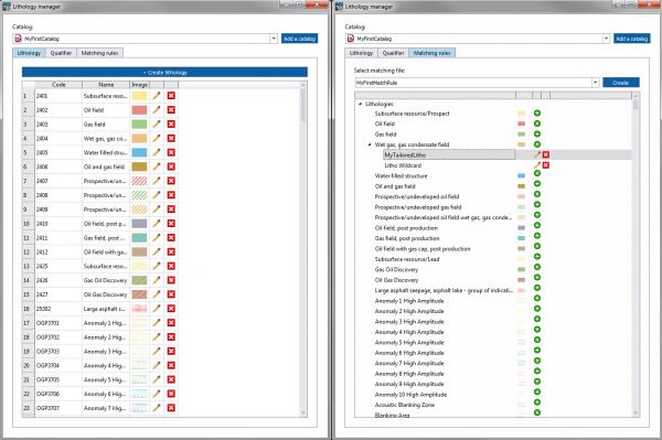
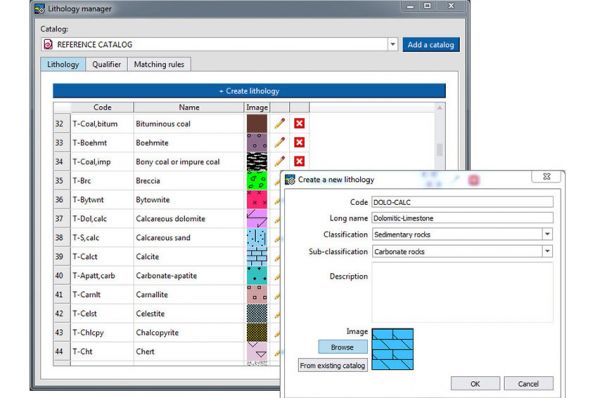
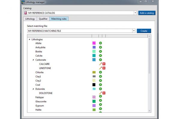
Imported and Interpreted Lithology in Techlog The plug in allows to import Lithology information and display it alongside of other wellbore data
Ensure Formatting and Compliance Editing capabilities allowing to solve quick problems related to format and local procedures.
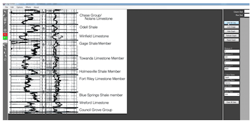
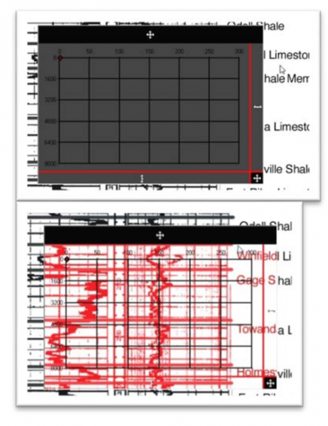
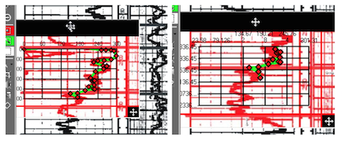
Log Evolve is a graph digitizer, originally created to aid in the digitizing of very large charts (known as logs) in the geology field. With Log Evolve you can take still images like scans or downloaded image files of graphs and convert them directly into tangible data. You can export all of this da ...
Read More ...
License Statistics Popular
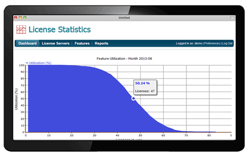
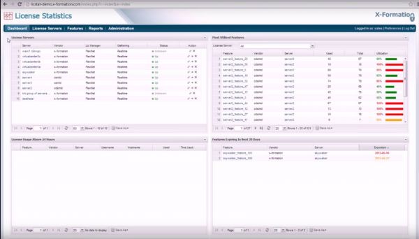
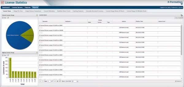
License Statistics lets you track and report software licenses usage in real-time or through log importation. It empowers you and your company to move faster, reduce software cost, and get more done. With its intuitive user interface, rock stability and support for more than 20 license managers, it ...
Read More ...
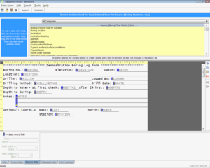
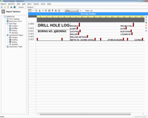
Use LOGDRAFT as a standalone boring log program or in concert with one or more GEOSYSTEM for Windows laboratory testing modules (Grain Size, LabSuite, Consolidation, California Bearing Ratio, R-VALUE, SHEAR or Field Density). The software is designed to meet the needs of geotechnical, geological and ...
Read More ...
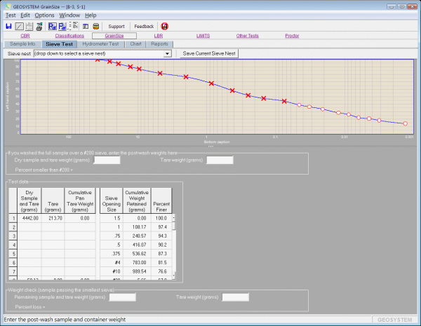
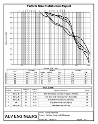
LabSuite reduces and reports the data from sieve and hydrometer, Atterberg limits and Proctor (moisture-density) tests and automatically classify soils via USCS, AASHTO, USDA, Burmister and DOT-specific methods.
Lumina Software Popular
High Resolution Reservoir Characterization
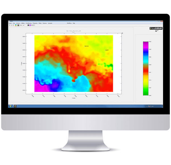
Lumina’s desktop software brings state-of-the-art advanced seismic spectral and quantitative analysis capabilities to the desktop of every interpreter. These methods have been refined and proven through years of successful service work in settings all over ...
Read More ...
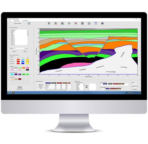
The Future of Geophysical Modeling is Here Lumina’s new modeling tool lets you imagine and create your geophysical model, transferring your idea to seismic, attributes, and AVO response instantly.
The Qeye low-frequency modelling uses well logs, seismic horizons and seismic velocities.
The algorithm supports the following features:
different depositional systems can be used between the horizons (conformable, on lapping and off-lapping)
radial basis function interpolation
interpolation g ...
Read More ...
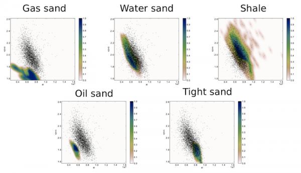
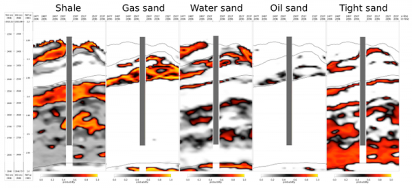
The prediction of subsurface lithology and fluid content can be performed using two approaches. The first approach is a Bayesian lithology classification scheme, which provides the probabilities of selected lithologies from their elastic response.
The second approach uses the derived rock physics m ...
Read More ...
LEASSV Version 2.9 Specification
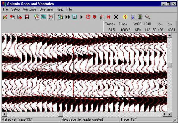
Lynx Exploration Archivist Seismic Scanning and Vectorising (LEASSV) software is a comprehensive software solution for re-vectorising scanned images of seismic sections and outputting the results as industry-standard SEG-Y format trace files. Using the utilities pro ...
Read More ...
LEAMAP Version 3.0 Specification
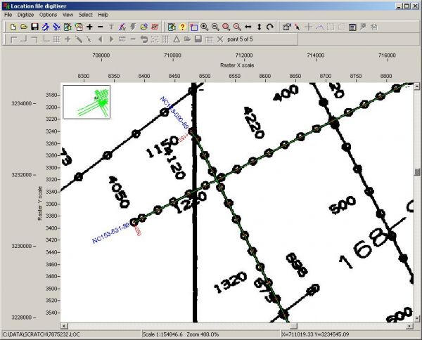
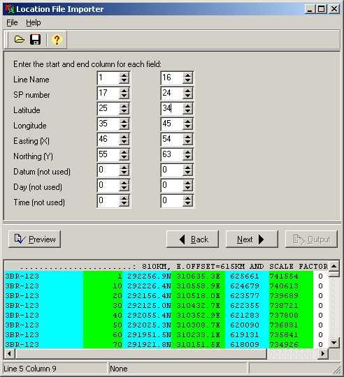
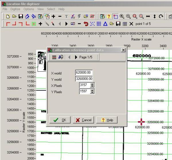
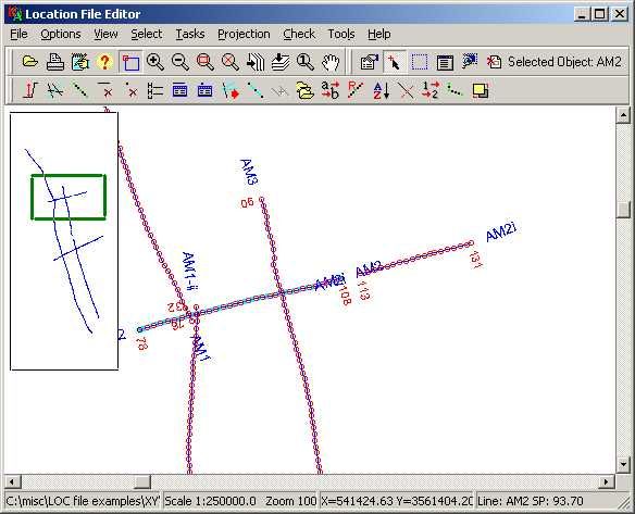
The Lynx Exploration Archivist Map Scanning and Vectorising (LEAMAP) software is a comprehensive software solution for converting hard-copy seismic line location (shotpoint) maps into digital data, and importing and editing existing location data from a variety of f ...
Read More ...
LEACAT Version 3.6 Specification
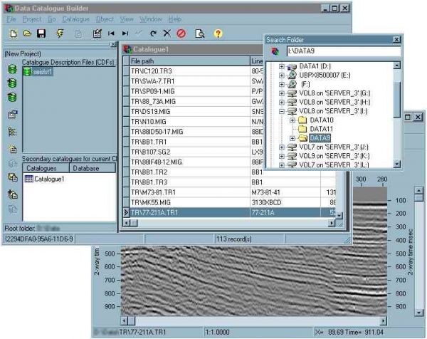
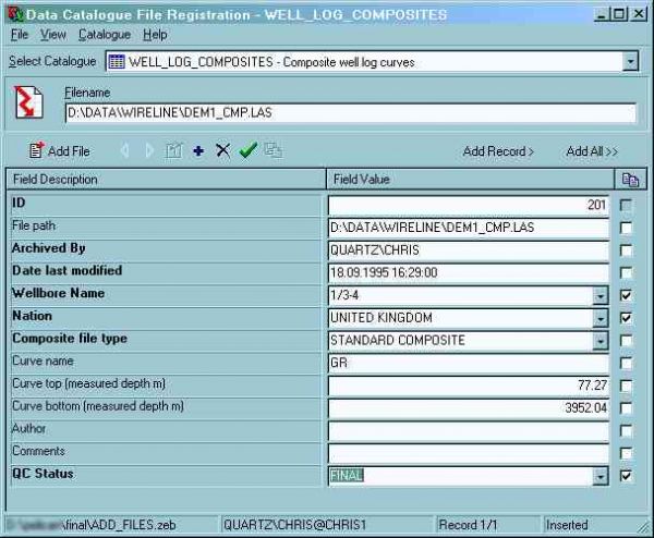
Lynx Exploration Archivist Cataloguing and Archiving (LEACAT) software is a comprehensive solution for preparing, cataloguing and archiving your existing E&P project data. Our software does not force you to adopt a rigid over-arching database schema, but provide ...
Read More ...
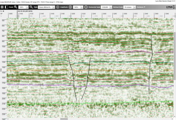
iSeisview is a seismic viewer app for web browsers. It will display 2D lines and 3D inline and crossline profiles, with an interactive selection of display styles, zoom levels, horizontal and vertical scales and trace amplitudes.
Horizon and fault interpretation may optionally be displayed on the s ...
Read More ...
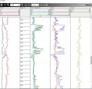
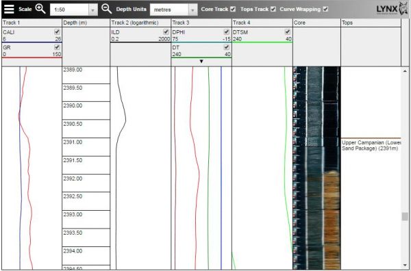
iLogview is a wireline log viewer app for web browsers. Digital composite logs can be viewed interactively in a multi-track display, with formation tops and core photos. Individual curves can be turned on and off, and the vertical scale can be changed intuitively by users and switched between metres ...
Read More ...
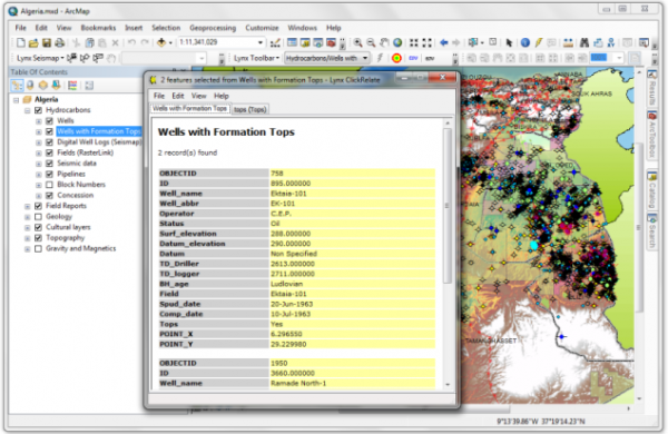
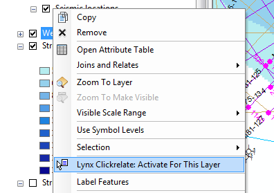
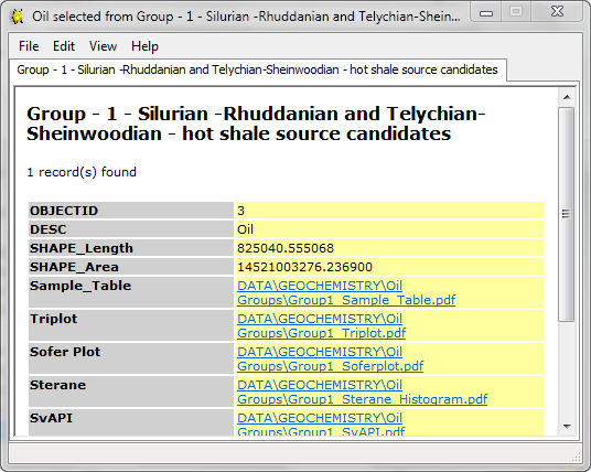
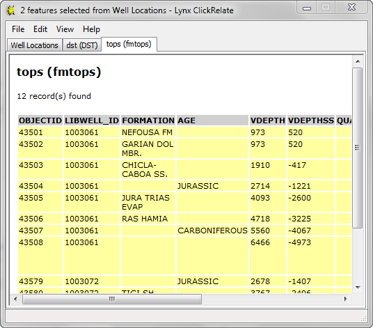
Lynx provides a number of plug-in extensions for ESRI ArcGIS Desktop®. ESRI is the market leader in GIS solutions, and its ArcGIS Desktop application suite is an essential tool for Explorationists.
Lynx has developed extensions which complement and extend the existing functionality in ArcMap:
Ly ...
Read More ...


