goldensoftware
Visualize Data
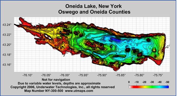
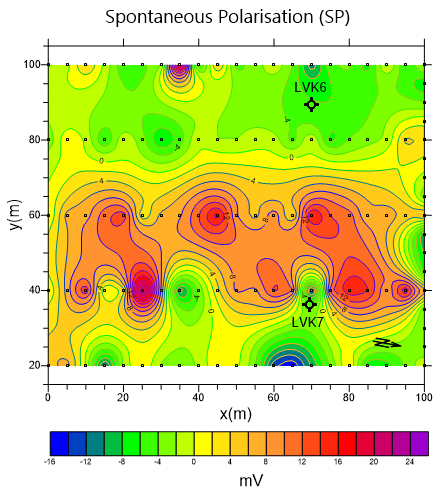
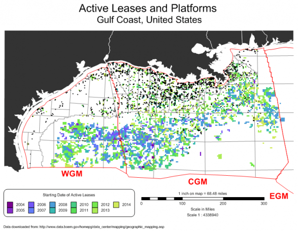
You work hard gathering your data. Don’t settle for subpar visualization. Utilize Surfer’s extensive modeling tools to display your data the way it deserves while maintaining accuracy and precision. Clearly communicate information with Surfer.
Analyze Data
Discover the depths of yo ...
Read More ...
Visualize Data
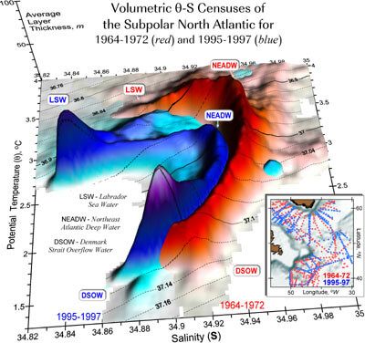
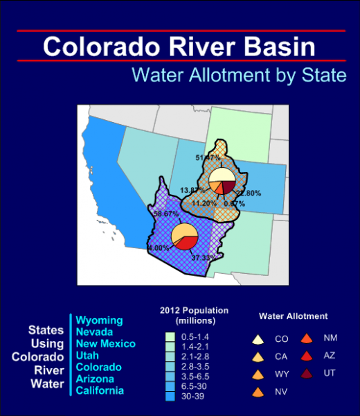
Present your data at its best. Grapher offers high-quality graphing tools so you can get the most out of your data. Grapher provides over 70 different 2D and 3D graphing options to best display your data.
Analyze Data
Don’t miss any opportunity. Your data may be hiding valuable inf ...
Read More ...
Visualize Data
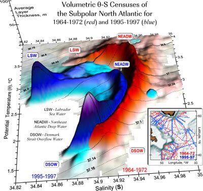
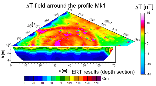
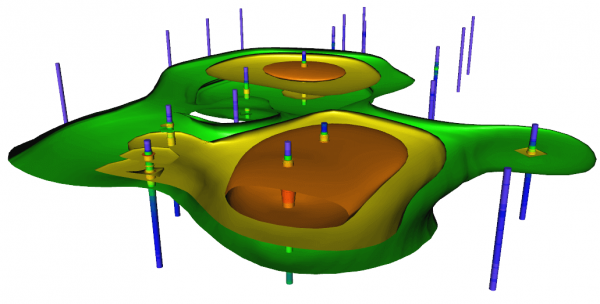
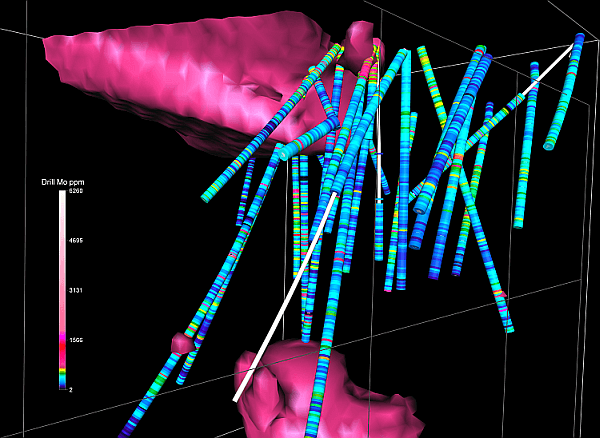
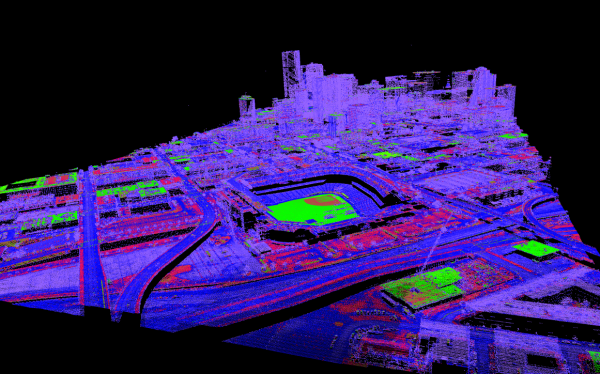
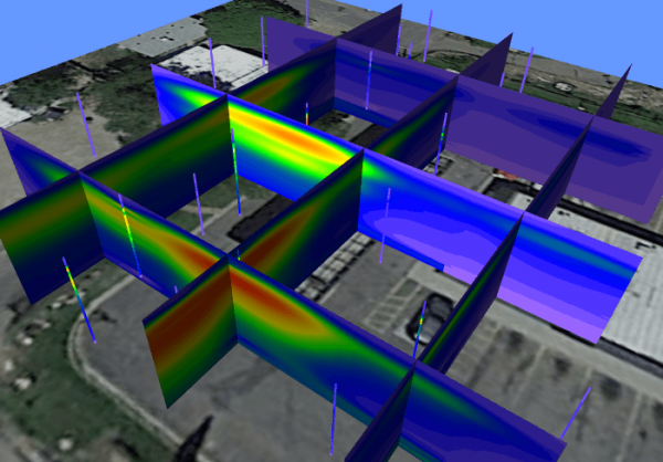
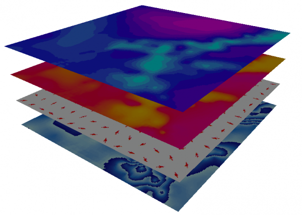
Model data with striking clarity in every dimension. With Voxler’s extensive 3D modeling tools, it is easy to visualize multi-component data for geologic and geophysical models, contamination plumes, LiDAR point cloud, borehole models, or ore body deposit models. Distinguish areas of ...
Read More ...
Visualize Data
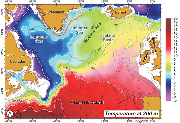
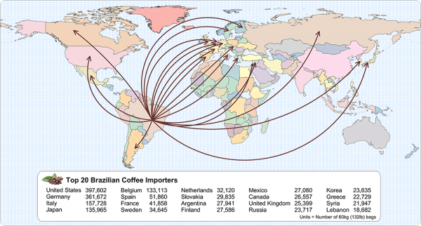
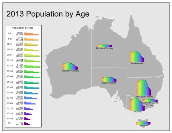
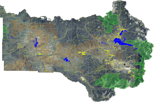
Make the most out of your data. Quickly produce publication-quality maps with MapViewer’s extensive thematic mapping and spatial analysis features. Distinguish patterns and trends in your data, understand the spatial relationship, and give clients and stakeholders the information the ...
Read More ...
Transform Data
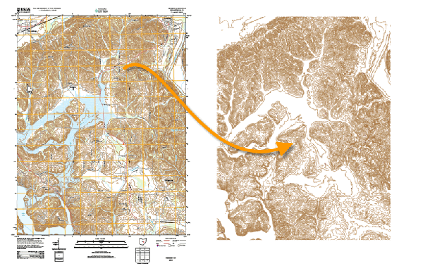
Don’t be limited by static data formats. Didger’s comprehensive digitizing, georeferencing, reprojection, tiling, and mosaicking features transform paper maps, graphs, photographs, and well logs into dynamic digital formats. Didger is a must-have tool for anyone working with inconsis ...
Read More ...
Visualize Data
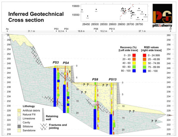
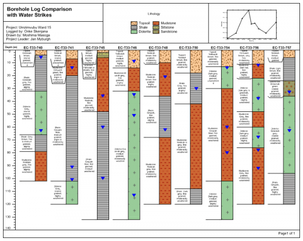
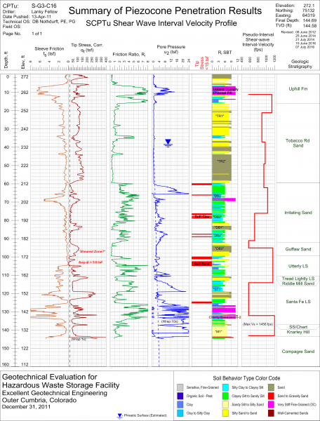
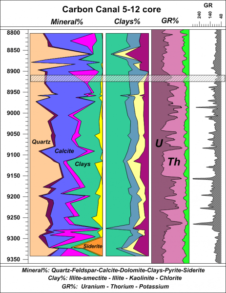
Eliminate subsurface uncertainty. Achieve insight and clarity by transforming raw, subsurface data into understandable well logs, borehole models, and cross sections/profiles. Easily create professional geotechnical reports that clearly communicate important information with Strater. ...
Read More ...
Transform Data
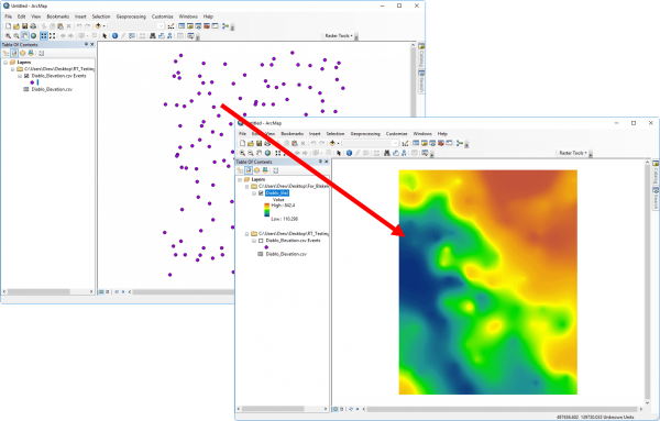
Create accurate and precise raster datasets. When you create raster datasets with Raster Tools, you will achieve more complete and accurate representations of your real-life data. Raster Tools, an Esri ArcGIS add-in, gives you more interpolation options and more control interpolation ...
Read More ...
How frustrating is it to discover a specific file type is not supported by your software program? We understand your frustration, and to solve this problem, have created a straightforward tool that allows you to convert one file format to another. For decades Golden Software has led the industry in ...
Read More ...

