hrhgeology
Gravitas - The Integrated Operational Geology Software Suite
Gravitas comprises of a number of application modules, including Winlogng the world leading log drawing solution.
These fit together to provide a rich operations geology toolset to manage the geological workflow and seamlessly integrate ...
Read More ...
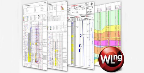
Winlogng - The Next Generation Of Winlog
Rewritten from the ground up to support increasingly sophisticated E&P log drawing requirements, our breakthrough technology sets a new standard for the industry.
Built with the latest software development tools and techniques, Winlogng introduces unpar ...
Read More ...
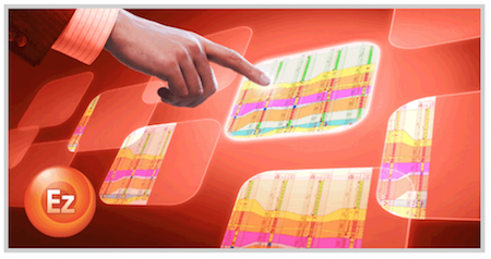
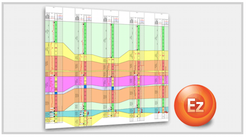
EZ-Correlate - The Correlation Option For Gravitas
Easily create quick, simple and beautiful correlation charts of well data.
For the first time, wellsite geologists and operations geologists have access to intuitive correlation tools to compare a drilling well against offset or drilled wells.
Th ...
Read More ...
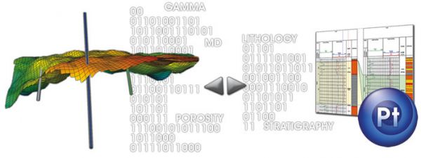
Gravitas Connector For Petrel*
Extends and enhances the software’s capabilities by connecting the Petrel user to operational geology data and interpretation via a direct link to Gravitas.
For the first time, asset geoscience can seamlessly integrate workflows with operations geology through the sh ...
Read More ...
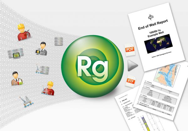
Repgen - The Report Writing Module
Produces accurate, consistent and high quality reports utilizing data that has been collected throughout the well lifecycle and stored in the Gravitas database.
Repgen reduces the time taken for geologists to complete their important reporting tasks thus releasin ...
Read More ...
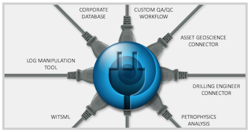
WinDOT - The Digital Oilfield Toolkit
WinDOT is an enabling technology that allows customization of Gravitas to provide plug-in solutions to specific business needs.
Gravitas has always been highly flexible and customizable to suit the needs of operational geology. Now the scope has been widened t ...
Read More ...
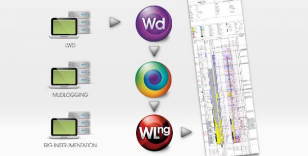
WinDART - The Data Acquisition Module
Direct, central collection point for real-time drilling data at the rig, including MWD, LWD, drilling instrumentation and mudlogging.
WITS (Wellsite Information Transfer Specification) Level 0 is used to collect standard or custom data records across a network ...
Read More ...

