intrepid
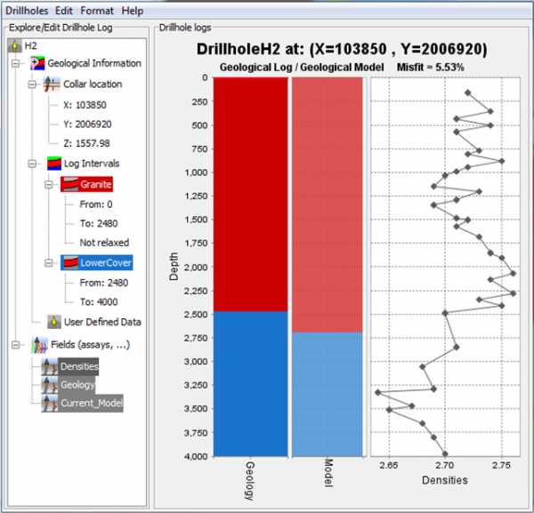
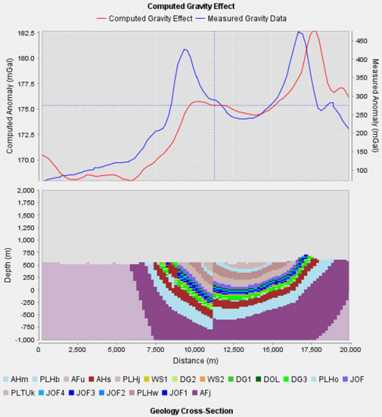
GeoModeller is software for building complex, steady-state 3D geological models, and performing forward & inverse geophysical modelling directly from your project
Comprising an intuitive editor, drill holes and grids/mesh managers, and modules for 2D/3D geophysical and geothermal modelling, and ...
Read More ...
YOUR DATA, ANYTIME, ANYWHERE
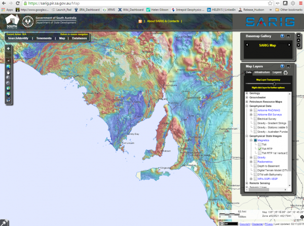
JetStream is a fast & secure data delivery system with a spatially searchable data catalogue enabling your geoscientists to quickly assess coverage, type and vintage of georeferenced data in your archives - and then download (with optional cookie-cutting, re-project ...
Read More ...
INTREPID is a software package with extensive capabilities in airborne, ground, and marine magnetics and gravity data including radiometrics data processing.
Now also offering comprehensive support for Full Tensor Gradiometry (FTG) and Falcon data
Premier software for QC, processing, filtering, le ...
Read More ...

