apatterson
Glass Popular
Designed from the ground-up with your exploration workflow in mind, Glass is a revolutionary advancement in Seismic Interpretation. Built on a foundation of tried and true science, Glass offers a modern user interface and compelling licensing options to maximize your exploration budget.
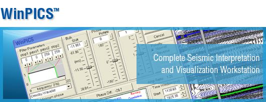
With an extensive range of exploration tools, WinPICS 5.9 is designed to help you hit your exploration targets.
WinPICS offers easy to use data management tools from import to presentation mapping. Featuring sophisticated query and mapping capabilities to visualize your exploration and interpretati ...
Read More ...
An Integrated Coordinate Solution
GeoWiz is a mapping application that enables you to translate field survey measurements into grid coordinates as well as perform localized project mapping, and seismic coordinate analysis. Use GeoWiz to quickly generate the essential information required by your of ...
Read More ...
GeoCarta is a single-point data access software solution that enables project teams to explore, analyze, extract and map public and proprietary data with ease to make faster and more accurate decisions.
Using industry-leading technologies, GeoCarta provides a modern, intuitive interface and access ...
Read More ...
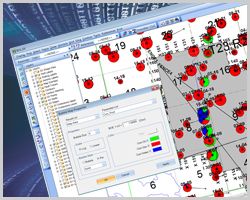
GeoVista is the leading oil and gas database browser offering speed and ease of use, integrated engineering and time slice tools, advanced query capabilities, and spatial accuracy. With an advanced yet simple search engine, GeoVista gives you the flexibility and speed to conduct advanced queries usi ...
Read More ...
Divestco has been managing industry well log data for over thirty years and uses EnerGISite to host one of the industry’s largest online libraries of comprehensive Canadian digital and raster well log data, well tickets and well documents – available by subscription, or on a transactional basis.
En ...
Read More ...
Complete Log Cross-Section Application
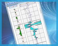
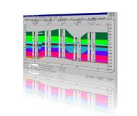
CrossLog Suite uses digital curves and scanned logs to enable you to quickly view, print, and interpret your scanned and digital well logs. CrossLog Suite retains maximum flexibility in drawing structural or stratigraphic cross sections without the need to set ...
Read More ...

