geomage
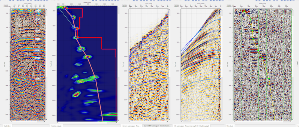
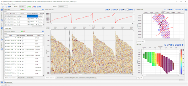
g-Platform™ – seismic data processing software
Geomage g-Platform™ is the most innovative, interactive and advanced software for processing and imaging seismic data of any type and format. The software based on latest developments in software and hardware technologies, can run Windows or Linux and ...
Read More ...
Seismic Interpretation Software
Dynamic synchronization between all views
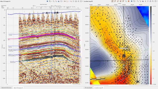
Horizon picking and management
Simultaneous horizons interpretation on 2D, 3D or arbitrary line view
Interactive picking in time or depth domains
Import/export horizons in ASCII and some other formats
Horizon map creat ...
Read More ...
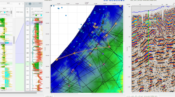
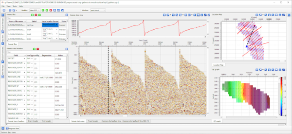
Interactive location map
Allows to visualize multiple data coordinates on interactive location map
Features related to visualization of multiple dataset locations available only in commercial version. The view includes following options:
Interactive selection of seismic dataset
Plotting all so ...
Read More ...

