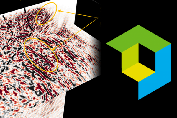
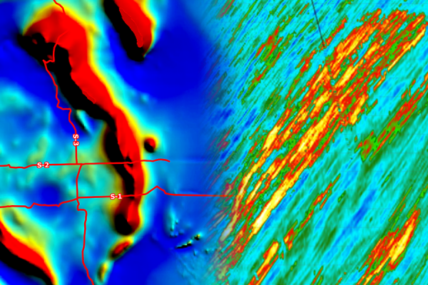
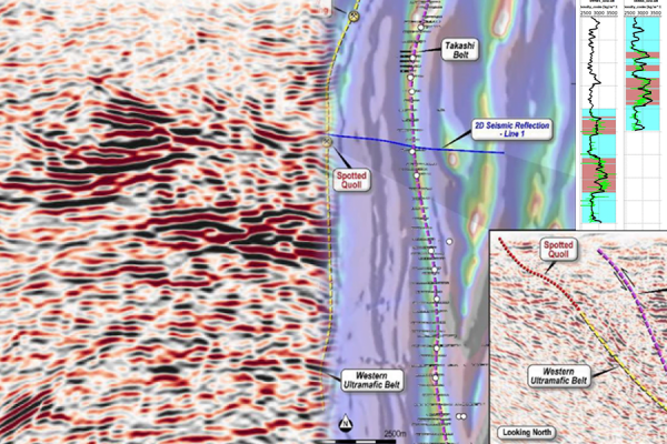
Geoscience Software
Geoscience is the branch of science dealing with planet earth, including features on the earth’s surface, and below it. In petroleum industry, geoscientists play an important role in finding underground oil and gas reservoirs. They are also involved in mapping and interpreting underground surface interpretation. Today there are a number of advance geophysical software packages available for processing, interpreting and running inversion on reservoir seismic data.

We offer our proprietary software to certain select clients. It can be provided as a plug-in for an existing software package or as a stand-alone. We will provide detailed support to make sure you are able to achieve your desired results. Each software agreement is custom, so please contact us if yo ...
Read More ...

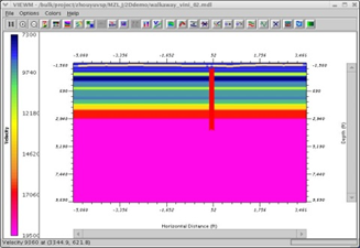
TOMOXPro is the only commercial crosshole software package in the seismic industry. This software package includes crosshole survey design, model building and modeling, data preprocessing, CDP transformation, tomography, wave-equation migration, and post-processing. It simply offers the entire range ...
Read More ...

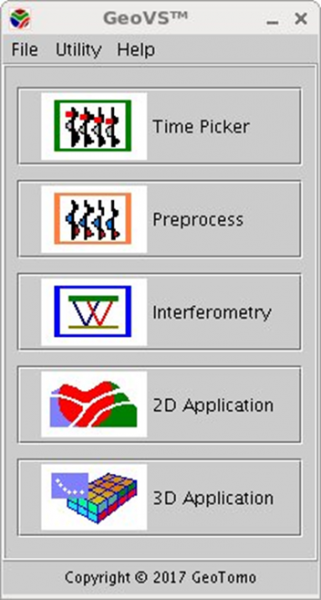
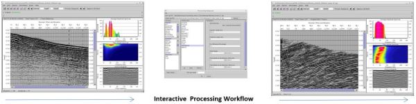
GEOVS™ 2D/3D VSP DATA PROCESSING AND IMAGING
GeoVS™ is a 2D/3DVSP data processing and imaging software program. GeoVS™ offers capabilities including building geometry, picking first breaks, particle motion analysis, orientation, signal processing for 2D and 3D wave field separation (parallel comput ...
Read More ...
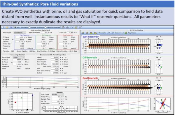
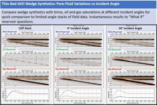
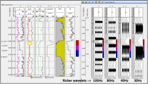
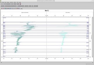
TIPS™ TOOLKIT FOR INTEGRATING PETROPHYSICS TO SEISMIC TIPS™
WELL LOG MODELER
Full suite of well-log editing and modeling of 1D and AVO synthetics, wedge models and seismic attributes. Quickly perform seismic well ties with the synthetics generated by TIPS. Understand within minutes the impact of i ...
Read More ...
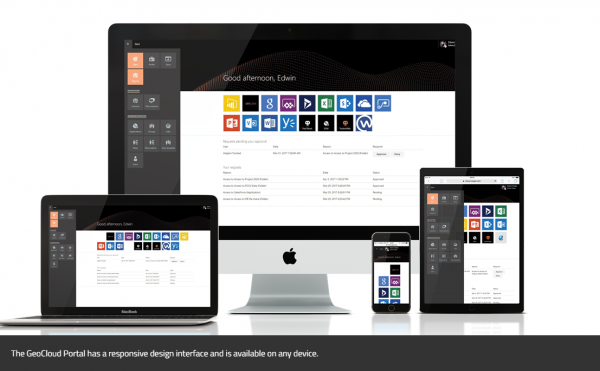
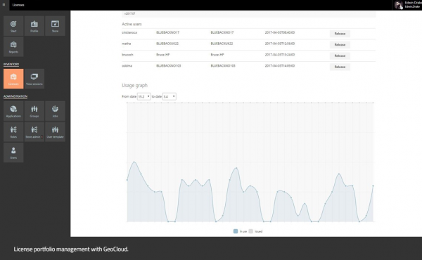
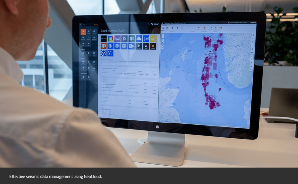
GeoCloud - A cloud solution for oil and gas, renewables, and Ocean Industries
GeoCloud is the only vendor-agnostic petrotechnical cloud solution that facilitates all your applications and data in one collaborative and flexible solution.
Overview
Geology and geophysics (G&G) software and appli ...
Read More ...
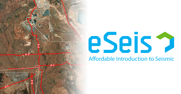
YOU SPOKE, WE LISTENED HiSeis brings you eSeis, an affordable introduction to seismic. eSeis is an affordable introduction to seismic
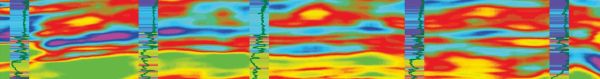
IsoMap
Subsurface Interpretation
GeoGraphix IsoMap utility is a comprehensive surface modeling and contouring application that can be used on a wide variety of data sets. IsoMap® provides 10 different interpolation algorithms, e.g. minimum curvature, adaptive fitting etc. from which geologic surfa ...
Read More ...
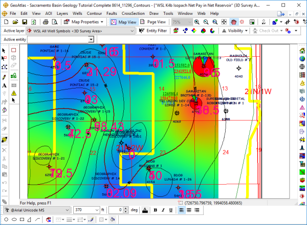
A Powerful Mapping Environment for Professionals
GeoAtlas is a robust mapping environment for GeoGraphix that facilitates displaying, modifying, and arranging map layers created in other GeoGraphix applications. It facilitates designing maps and montages, as well as providing a platform for other a ...
Read More ...
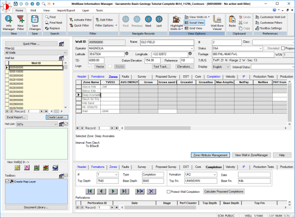
WellBase software provides access to a relational database management system for geological well data, including formation tops, deviation surveys, completions, perforations and other types of mechanical data. WellBase stores its data using the GeoGraphix® Data Model (GXDM). The model is based on an ...
Read More ...
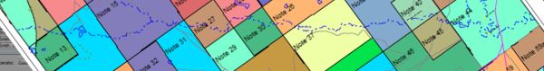
LeaseMap software provides a complete understanding of any region's mineral interest and leasehold situation. Using industry standard reports and interactive maps, LeaseMap software helps you identify the details and status of mineral and lease holdings across your assets or in an area of interest. ...
Read More ...