List Categories and Listings by A
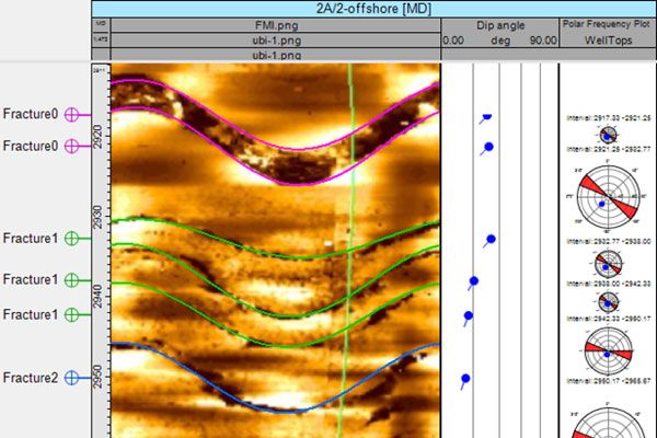
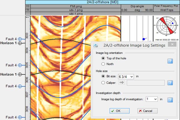
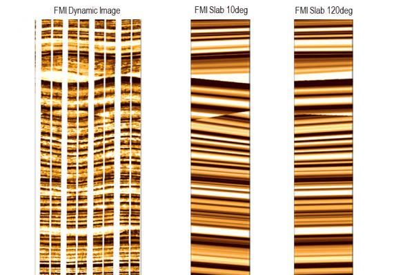
Example of the Borehole Image Log Interpretation
Interpret the Borehole Image Logs in Petrel by defining the dip and azimuth of the observed geological features.
Plug-in Overview
The plugin allows you to interpret the image log by defining the dip and azimuth of the observed geological features. ...
Read More ...
Plug-in Overview
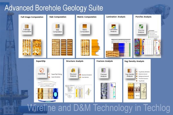
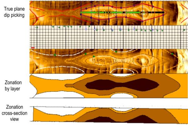
The Advanced Borehole Geology Suite is designed for interpretation geologists and petrophysicists. It contains nine plugins to extract the full value from borehole images, ready for reservoir modeling. The functionalities include automatic generation of 360 degree images, image sla ...
Read More ...
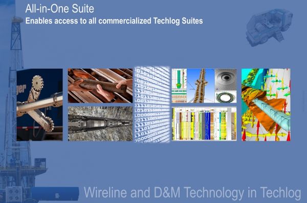
Intro to All-in-One Wireline Suite
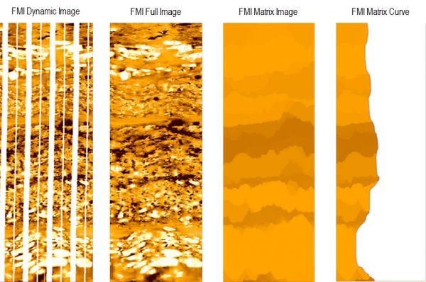
Enables access to all commercialized Techlog Suites covering Wireline and D&M technology, including those to be released later on.
Plug-in Overview
The Wireline Suites for Techlog offer a wealth of advanced functionality and innovative workflows from Schlumb ...
Read More ...
Challenges in the oil and gas industry can be simply summed up as using technology to overcome risks related to finding and producing resources at reasonable cost. The industry is experiencing tremendous pressures due to a recent drop in prices. At the same time, advancements in seismic technology u ...
Read More ...
ABAQUS UNIFIED FEA
COMPLETE SOLUTIONS FOR REALISTIC SIMULATION.
What's New in Abaqus 2017
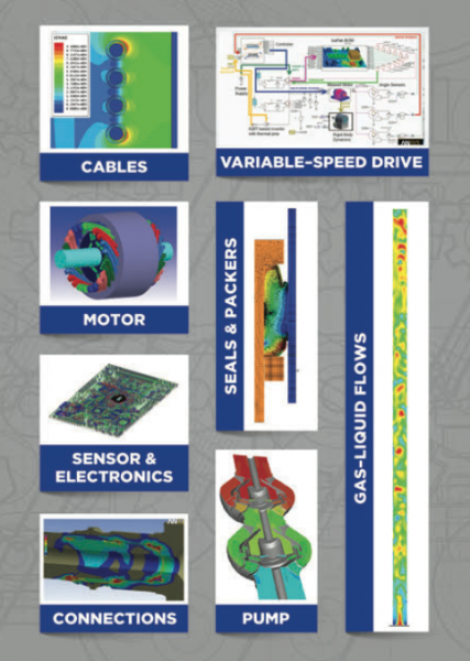
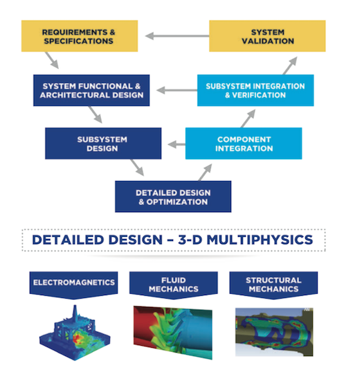
Product simulation is often performed today by engineering groups using niche simulation tools from different vendors to simulate various design attributes. The use of multiple vendor software products creat ...
Read More ...
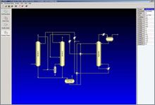
AMSIM software is a specialized process program that simulates the removal of hydrogen sulfide (H2S), carbon dioxide (CO2), and mercaptans from natural gas and liquefied petroleum gas (LPG) streams using amines and physical solvents. This software is backed by more than 20 years of laboratory data. ...
Read More ...
mGstat provides an interface to GSTAT[www], which is a popular open source computer code for multivariate geostatistical modelling.
The interface enable one to call gstat and have the output returned seamlessly into Matlab.
The interface makes it straightforward to call GSTAT using Matlab as a scr ...
Read More ...
VISIM is a GSLIB style program that can be used to solve linear inverse problems, using either Sequential Gaussian Simulation or Direct Sequential Simulation (with histogram reproduction) conditioned to noisy block data.
It can also function as a conventional point based simulation algorithm.
The ...
Read More ...
SGeMS (the Stanford Geostatistical Modeling Software) can be called interactively from within Matlab. SGeMS provides state of the art geostatistical simulation algorithms, such as multiple-point based SNESIM and FILTERSIM codes, as well as classical 2-point algorithms, such as sequential Gaussian si ...
Read More ...
Unlimited, multi-scale, high-definition DFO viewer
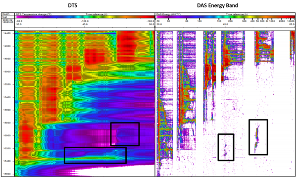
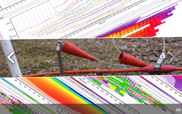
ARIANE is a powerful visualization tool specifically designed to manage and analyze Distributed Acoustic Sensor (DAS) data.
During acquisition, DAS data is accumulated into hard-drives in obscure formats while it can be usually visualized through ...
Read More ...
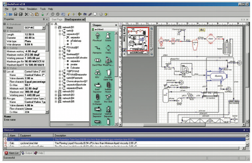
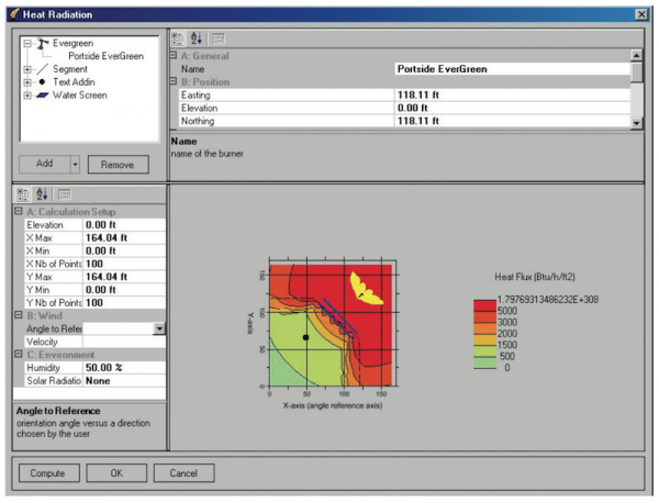
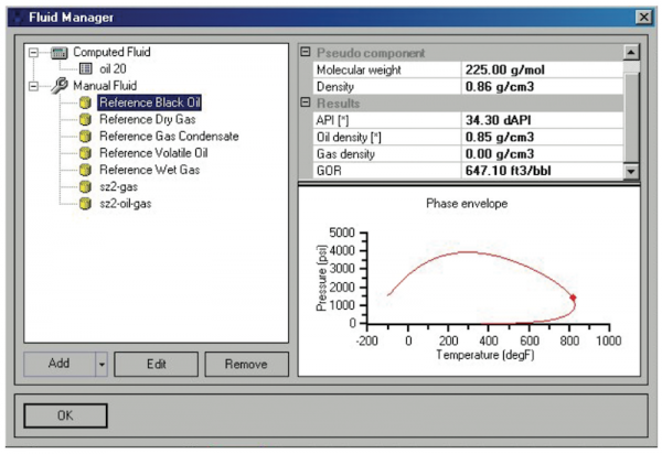
Simulate field conditions for a safer well test environment
ArchiTest* well test design software provides a realistic steady-state simulation of actual field conditions to facilitate surface well test planning. The main goal of the software is to enhance the safety of the well test environment by i ...
Read More ...
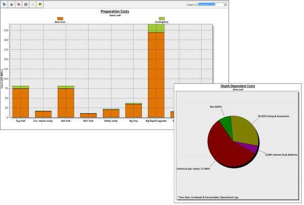
Authorisation For Expenditure
The application was designed with a high degree of automated calculations.
Overview
Easy configuration to Company standard.
Easy AFE generation, export to Excel.
Consistent Coding.
Integration with DSP-One allows quick reaction to changes in well planning.
Mult ...
Read More ...
AFE Navigator Popular
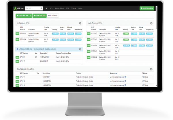
A better way to manage AFEs and capital
AFE Navigator® (AFE Nav) is an all-in-one Approval For Expenditure software solutionthat integrates with your other key systems. It even works from your smart phone!
Speed your AFE workflow from creation through approval
Currently, more than 100 companies a ...
Read More ...
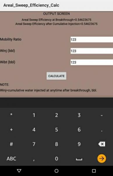
Areal Sweep Efficiency Calc computes the fraction of the reservoir area contacted (swept) by the displacing fluid.
Areal Sweep Efficiency Calc is developed primarily to offer assistance to petroleum engineers, reservoir engineers, petrophysicists, researchers, petroleum production engineers, comple ...
Read More ...
LESS TIME MANAGING DATA, MORE TIME EXPLORING IT.
Aeon is a cloud enabled platform which offers a range of linked panels allowing management and visualization of disparate data types. By incorporating any required data, Aeon can replace existing software with a single, efficient alternative. The int ...
Read More ...
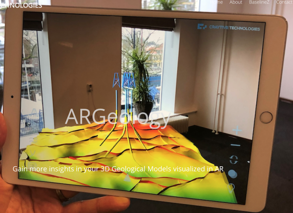
Our ARGeology iPad and iPhone apps enables you to visualize your 3D Geological Models in your own environment. This way of visualization enables you to explore your 3D model in a way that you have never seen before!
In ARGeology we are able to visualize many different data models and object types, ...
Read More ...
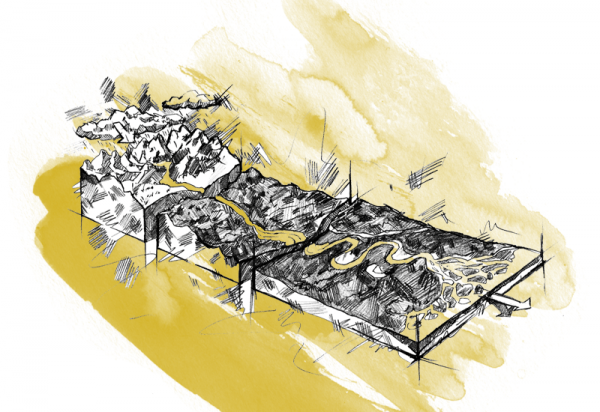
Facilitating the effective application of analogue databases to reservoir models
Meet Ava® Clastics
Although it’s widely considered best practice to use analogue data in facies models, the process is time consuming, somewhat subjective, and highly variable depending on domain expertise.
Using our ...
Read More ...
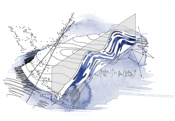
Auditable saturation height functions and models for geologists
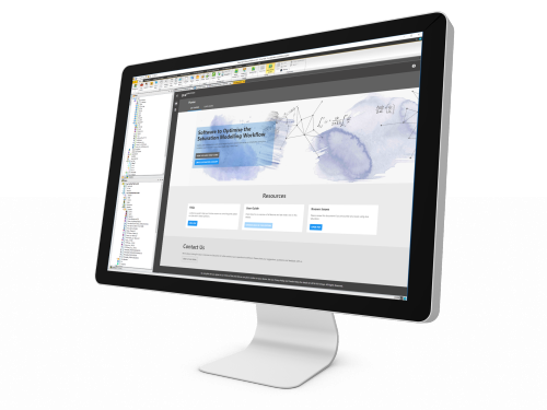
Software to optimise the saturation modelling workflow
Quickly calculate saturation height functions using existing 3D grids, contact sets and well logs.
Ava® Saturation is a web-based application, fully embedded within the Petrel* E ...
Read More ...
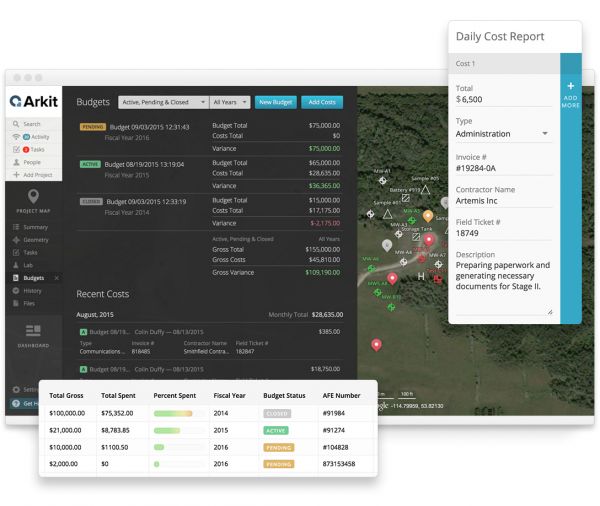
Budget and cost tracking, minus the hassle
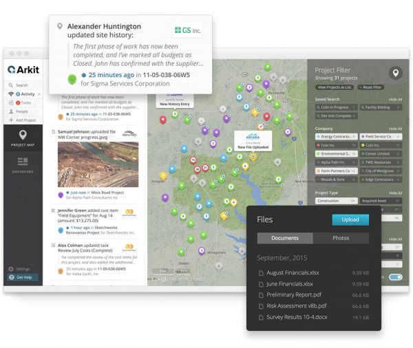
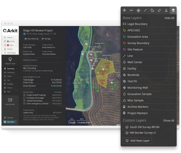
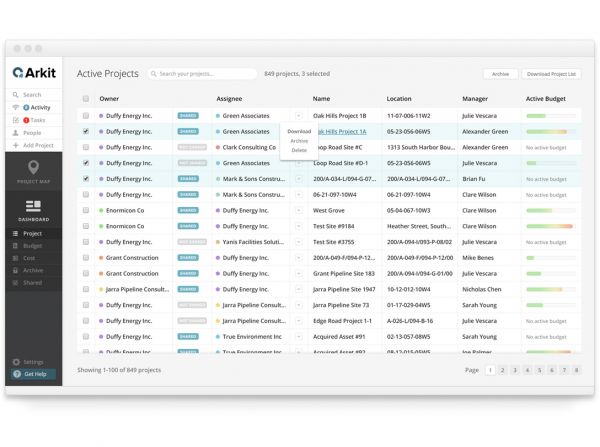
Arkit gives you tools for effective budgeting and cost tracking, with a user-friendly system designed to make it easy.
Plan project budgets, manage AFEs, get detailed daily cost reports, and keep all the data organized with the rest of your project work. ...
Read More ...
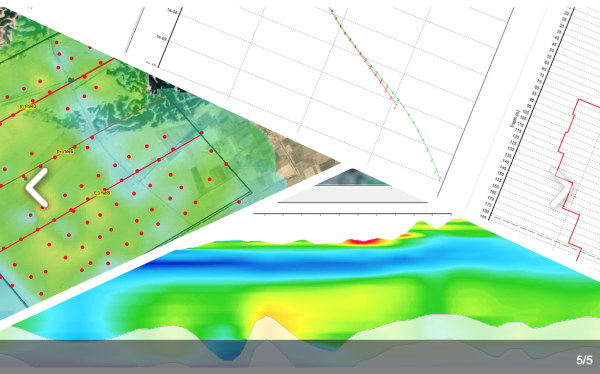
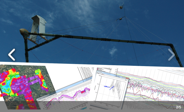
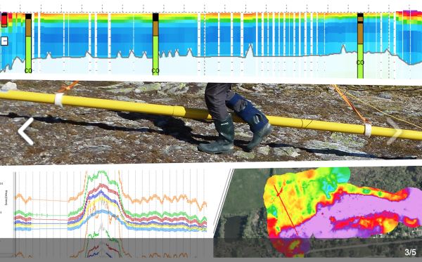
Professional software solutions for processing, inversion and visualization of geophysical data.
Aarhus GeoSoftware develops processing, inversion and visualization software for ground based and airborne EM data and ERT/IP data.
Software packages:
Aarhus SPIA: For groundbased single TEM and VES s ...
Read More ...

