List Categories and Listings by C
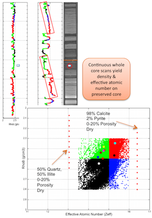
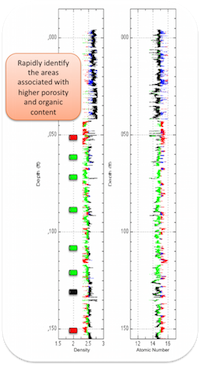
CoreHD®: Whole core, continuous, dual-energy CT scanning for characterizing rock type and heterogeneity Ingrain’s CoreHD® service consists of high-resolution (slice density up to 900 CT slices per linear foot of whole core) X-Ray CT imaging of whole or slabbed core, followed by computation of separa ...
Read More ...
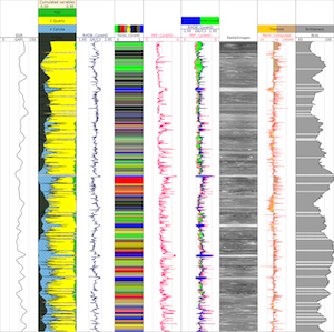
CoreHD® Plus: Achieve greater impact from whole core data with additional petrophysical curves CoreHD® Plus begins with spectral gamma logging and XRF (X-ray fluorescence) measurements on the whole core. This data, combined with RhoB and PEF, is used to compute the additional curves. Ingrain uses d ...
Read More ...
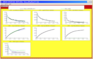
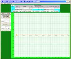
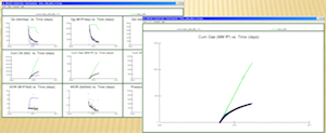
Field Performance Analyis often involves analyzing hundreds, sometimes thousands of multifractured horizontal wells with low resolution data. But the demands on engineers remain the same, to analyse these wells and to provide regular forecasts, reserves and performance optimization. With such massiv ...
Read More ...
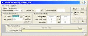
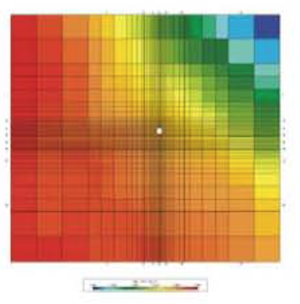
Camelot is an assisted history match tool designed to work within the Merlin oil & gas reservoir simulator. The engineer creates a base model, then selects the variables thought to have the most uncertainty, and the ranges for these variables. Camelot then uses sophisticated statistical algorith ...
Read More ...
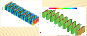
Advanced Resources’ COMET3™ reservoir simulator for gas shale, shale oil, and coalbed methane (CBM) reservoirs was the first of its kind in the marketplace, the initial version having been developed in the early 1980’s when both resources combined contributed less than 1% to U.S. gas supply. Since t ...
Read More ...
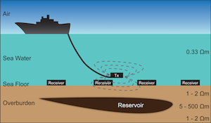
The marine controlled source electromagnetic (CSEM) method is a low-frequency electromagnetic imaging technique aimed at generating the electric resistivity map of seafloors. In a CSEM survey, an electromagnetic transmitter and arrays of electromagnetic (EM) receivers are used to probe the subsurfac ...
Read More ...
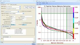
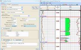
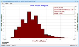
Determining the relative water saturations and height above free water is a critical step in understanding the subsurface and defining an efficient drilling program. With this understanding, reservoir engineers can avoid drilling into free water, determine compartmentalization and identify zones tha ...
Read More ...
Interrogate the geophysical response with intuitive data-driven and semi-supervised tools, while maintaining the geological context.
Correlating your well-data with the seismic and attribute response, to build your remarkably accurate reservoir model, completes the workflow. Any classified volume h ...
Read More ...
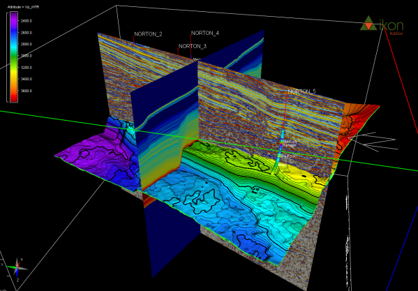
RokDoc CoViz , 3D visualisation for RokDoc
This exciting new offering from RokDoc delivers state-of-the-art visualisation capabilities. The complete RokDoc GeoPrediction platform has been enhanced by the inclusion of this visualisation capability, allowing users to better understand and analyse com ...
Read More ...
A new solution to help reduce uncertainty and enhance your well integrity
Today’s demand for more reliable and cost-effective well design solutions as the complexity of wells increases suggests the need to innovate and modernize traditional techniques, including those affecting well integrity. Casi ...
Read More ...
Staying on the right trajectory while drilling is critical to ensuring safe and efficient operations.
Rock properties, torque and drag, cost, and the location of existing wells can all cause potential problems and affect the optimal well trajectory. Designed for both oil companies and directional d ...
Read More ...
Single Version of Primary Well Data
E&P professionals spend considerable time searching for data and trying to determine its origin, evolution, and quality with the greater portion of this time used to determine whether the data is trustworthy. Low quality data can lead to inaccuracy and poor d ...
Read More ...
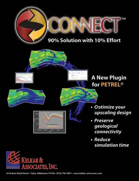
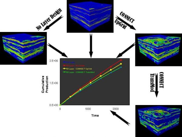
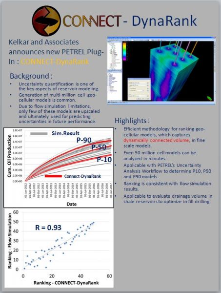
CONNECT is a new PETREL plug-in that facilitates reservoir description and assessment by providing connectivity between :
Fine Scale and Coarse Scale moodels
Grid blocks of reservoir models
Static and dynamic models
Different types of data sources
Currently, it consists of two modules to de ...
Read More ...
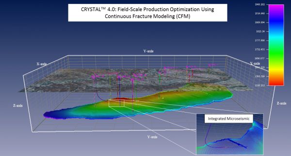
CRYSTAL™ 2013 enhances collaboration and provides a suite of integrated tools that Subsurface Geo-Engineering teams need to manage their assets most effectively. This 64-bit Windows solution provides – in a single, seamless environment – an integrated suite of tools to help you accurately plan, deve ...
Read More ...
CGM Office software is intended for viewing, editing and printing of CGM, CGM + and CGM-Pipe graphic files.
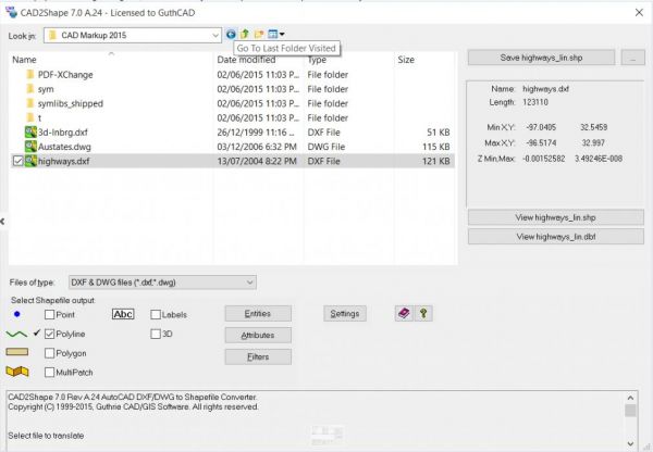
Convert AutoCAD DWG / DXF to ESRI Shape (.shp) CAD2Shape is a dwg and dxf converter that converts AutoCAD DWG and DXF files to ESRI SHP (shapefile) files.
DOE/BC-86/11/SP. Chemical Flood Predictive Model, Supporting Technology for Enhanced Oil Recovery, Fossil Energy Report III-5. December 1986. 360 pp. NTIS Order No. DE87001208.
CO2 Prophet Popular
CO2 Prophet: Water and CO2 Flood Prediction Software. CO2 Prophet, conceived by Texaco Exploration and Production Technology Department (EPTD), was partially developed as part of the DOE Class I cost share program "Post Waterflood, CO2 Flood in a Light Oil, Fluvial Dominated Deltaic Reservoir" under ...
Read More ...
Crude Oil Analysis Database: Database contains information on 9,056 crude oil analyses performed at the National Institute for Petroleum and Energy Research (NIPER). The database is available in Microsoft Access 2002 format.

