List Categories and Listings by G
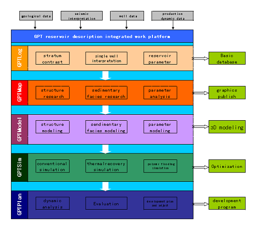
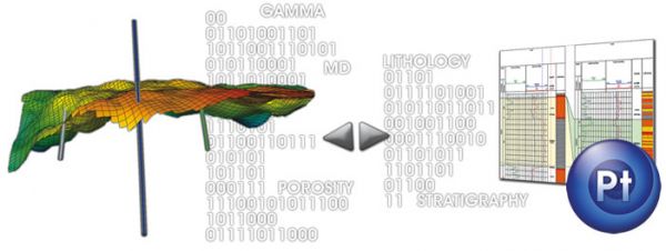
GPT reservoir description integrated work platform ®
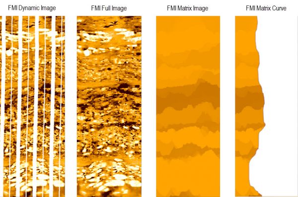
During the development later stage, the containing water in the oilfield would be higher. After years of strong injection and forced production, reservoir parameters and fluid distribution have be changed, together with the reservoir heterogeneit ...
Read More ...
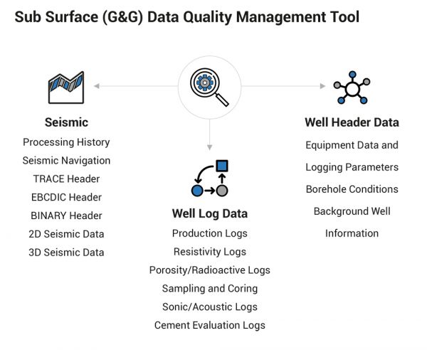
Sub Surface (G&G) Data Quality Management Tool
GeoProQuiK is L&T Infotech's proprietary Sub Surface (geological & geophysical) Data Quality Management Solution, which consists of various data quality check (QC) tools, templates, scripts and business rules catalogs. The solution helps Ex ...
Read More ...
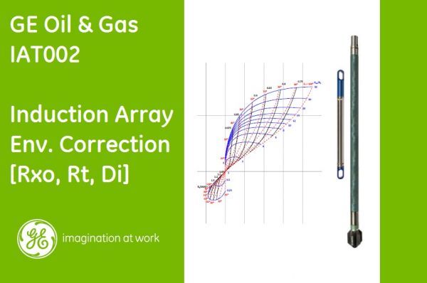
Determination of Rt, RXO and invasion diameter
This module determines the true resistivity, flushed zone resistivity and the diameter of invasion using
Plug-in Overview
This plug-in determines the true resistivity, flushed zone resistivity and the diameter of invasion using formation conductivity ...
Read More ...
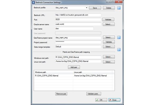
Remotely connect to GeoFrame using Bedrock server
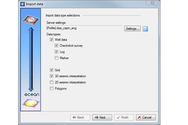
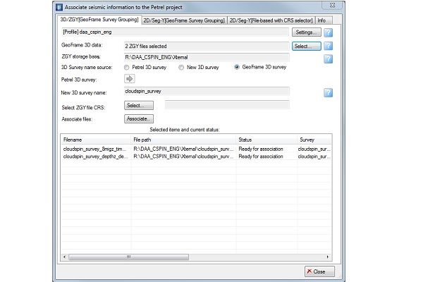
Access GeoFrame well data, 2D and 3D seismic and seismic interpretation directly from Petrel.
Plug-in Overview
The Bedrock server and the GeoFrame Data Connector plug-in for Petrel 2014 facilitate the direct exchange of data between GeoFrame and P ...
Read More ...
Loaded geomagnetic models
After loading the geomagnetic model source files, the new geomagnetic models will appear on "Default geomagnetic model" list in the "Trajectory uncertainty settings" dialog.
Plug-in Overview
The Geomagnetic Model Loader plug-in enables BGGM and HDGM model source files to ...
Read More ...
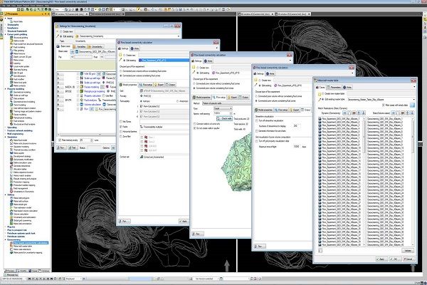
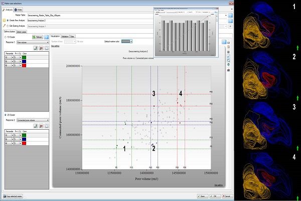
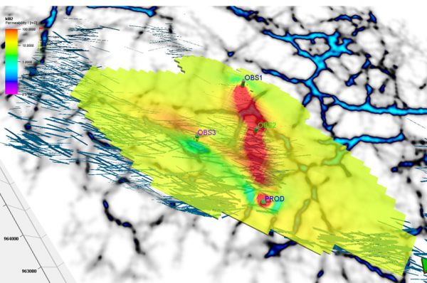
Ananlyze maps of uncertainty in connectivity
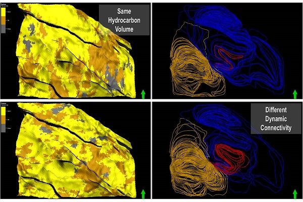
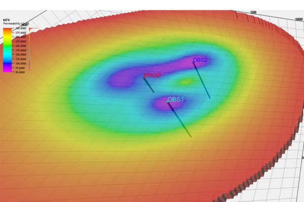
Sample the distribution of dynamic connectivity at regular spaced points to create maps showing uncertainty. Use these maps as input to further modelling investigations, support for data acquisition decisions or while planning appraisal and infill wells. ...
Read More ...
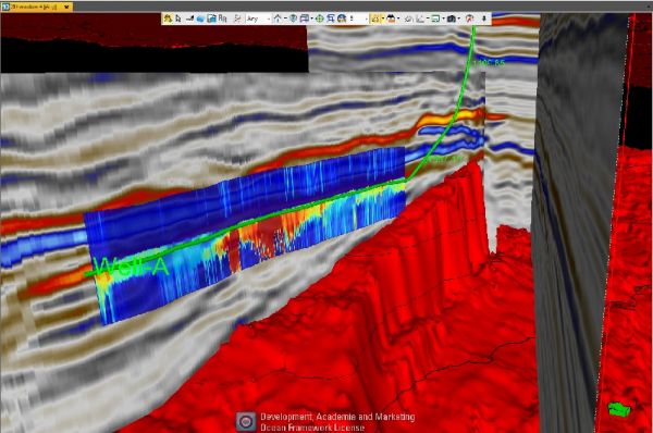
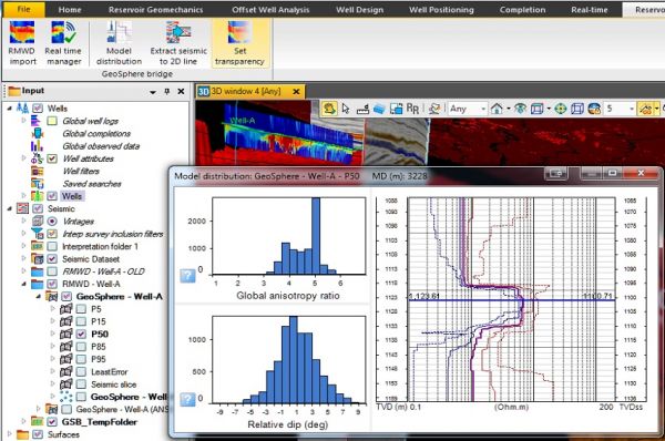
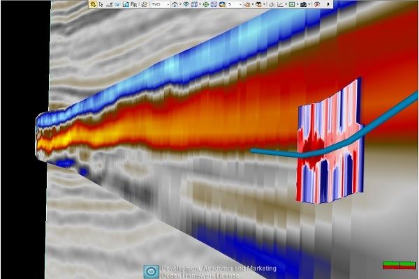
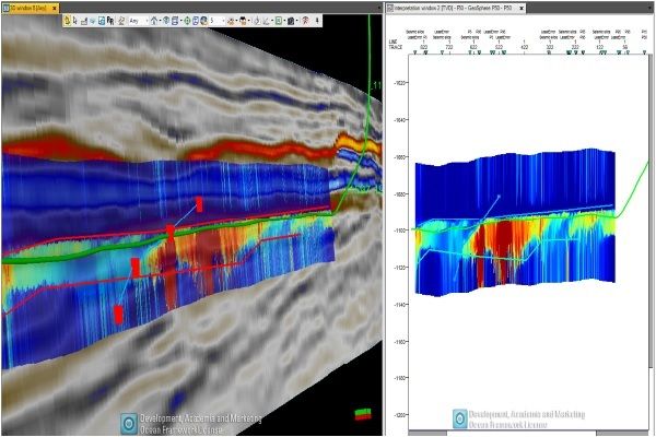
GeoSphere inversion overlay with seismic in 3D window
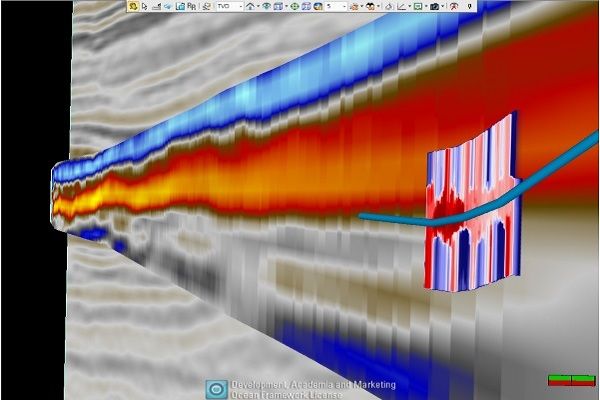
The plug-in enables the integration of PeriScope HD and GeoSphere Reservoir Mapping While Drilling outputs into client pre-existing Petrel projects. The additional interpretation based on this integration can provide a better understanding of th ...
Read More ...
Design and interpret complex tests
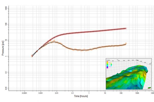
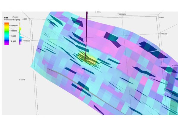
GeoTesting enables well test information to be used to its full extent, providing seamless integration with the reservoir models and geologic information. Design and interpretation of complex tests are easily performed, providing deeper and more accurate insight i ...
Read More ...
3D property modeling
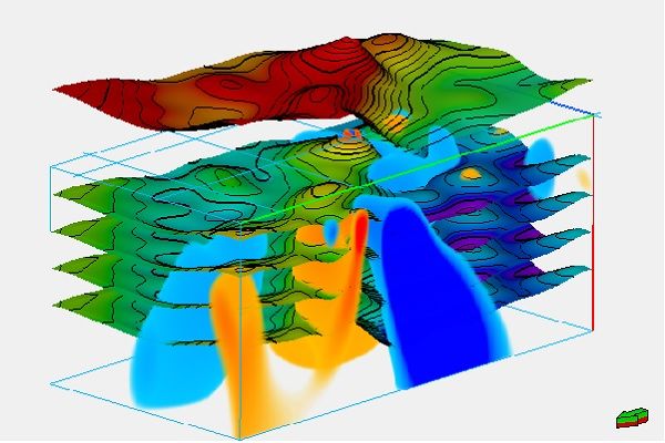
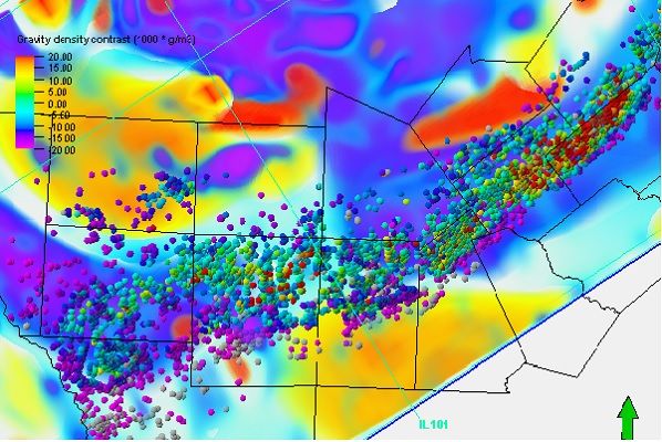
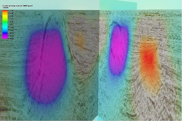
3D property modeling allows initial models to be used, such as 3D property. Image 1 shows a “true” model. Image 2 show an initial model ( “paleo feature” removed). Image 3 shows standard deviation of the initial model. This model does not allow initial values to be changed clos ...
Read More ...
Gravitas - The Integrated Operational Geology Software Suite
Gravitas comprises of a number of application modules, including Winlogng the world leading log drawing solution.
These fit together to provide a rich operations geology toolset to manage the geological workflow and seamlessly integrate ...
Read More ...
Gravitas Connector For Petrel*
Extends and enhances the software’s capabilities by connecting the Petrel user to operational geology data and interpretation via a direct link to Gravitas.
For the first time, asset geoscience can seamlessly integrate workflows with operations geology through the sh ...
Read More ...
Make Better Decisions in an Uncertain World
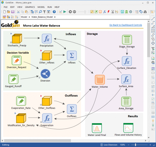
GoldSim is a powerful and flexible platform for visualizing and dynamically simulating complex systems in engineering, science and business. You build a model in an intuitive manner by literally drawing a picture (an influence diagram) of your system. In ...
Read More ...
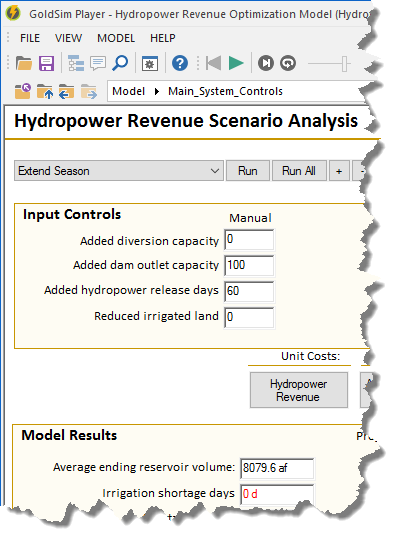
GoldSim Player allows you to view, navigate, and run an existing GoldSim model without having to purchase GoldSim. Depending on how the model was created by the author, you can even modify key inputs to the model before running it. The GoldSim Player can also be used as a slave when carrying out dis ...
Read More ...
GoldSim Academic offers the same powerful features as GoldSim except that models built using GoldSim Academic are limited to 500 elements or less (GoldSim is unlimited). GoldSim Academic includes all the GoldSim modules. GoldSim Academic does not include basic support but you can join our User Forum ...
Read More ...
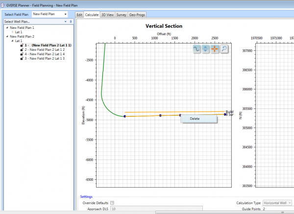
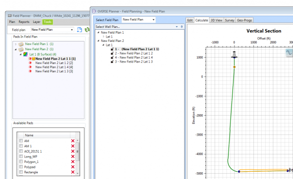
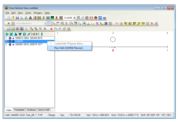
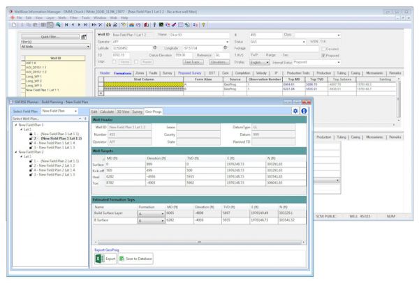
GVERSE Planner allows multiple well planning to easily visualize geologic surfaces, quickly create surveys and geoprognosis reports, and just as easily make changes to existing well plans. It provides geologists with the capabilities needed to accurately design proposed wells and rapidly make well c ...
Read More ...
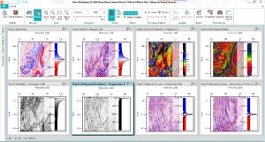
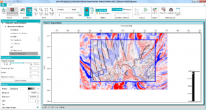
GVERSE Attributes enables geoscientists to harness the full power of seismic attributes by drastically reducing the time, effort and disk space required for attribute analysis. Fast, on-the-fly computation, and real-time visualization of seismic attributes in a multi-pane viewer or in a 3D environme ...
Read More ...
Data interoperability is critical in optimizing the accuracy of reservoir characterization and maximizing the productivity of the entire asset team. GVERSE Connect was developed to address the need for data interoperability between the Petrel® E&P software platform and GeoGraphix, ultimately let ...
Read More ...
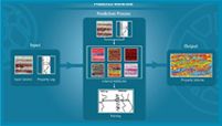
GVERSE Predict3D is a multi-attribute inversion solution*, based on spectral decomposition and state-of-the-art optimization techniques, to predict rock properties away from wells using well logs and seismic data. This enables you to understand the reservoir effectively and reduces risks associated ...
Read More ...
GVERSE WebSteering is designed specifically to help geoscientists’ geosteer horizontal wells in thin pay zones and to direct the drill bit in real time.
It is the only web browser based geosteering application in the industry that delivers optimal well placement with simple data loading and full in ...
Read More ...
This plug-in is a colored inversion solution that provides a rapid, yet robust way to derive geological details in the form of a relative impedance (rock hardness). When geosteering through a reservoir, the high resolution impedances calculated by the colored inversion ensure that the well is drille ...
Read More ...

