List Categories and Listings by G
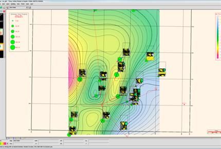
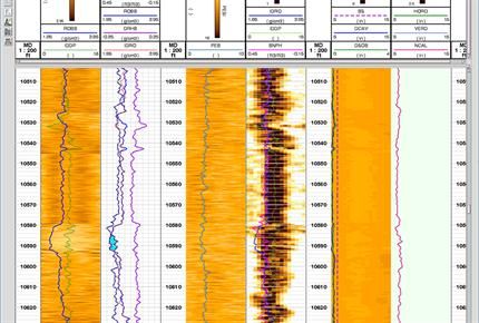
With ResSum zone properties averaging software, you can take the output from ELANPlus or Petroview Plus and calculate thickness and average properties in your reservoir intervals or zones. Zones are easily created in ELANPlus, PetroView Plus or with WellPix correlation software. ResSum allows you to ...
Read More ...
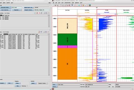
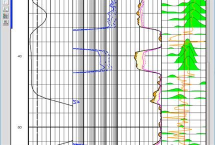
The PetroView Plus application is an easy-to-use log analysis program that guides you step-by-step through the entire process. It is simple enough for generalists and occasional users, yet detailed enough for specialists. PetroView Plus offers interactive parameter selection from crossplots, histogr ...
Read More ...
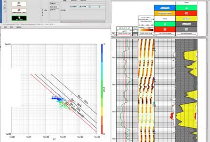
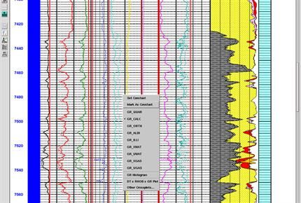
PrePlus software lets you improve the accuracy of your log analysis by applying environmental corrections to curves, but does not require a specialist's knowledge. Because the algorithms are digital and supplied by the logging vendor, they are more accurate than chartbook approximations.
Features ...
Read More ...
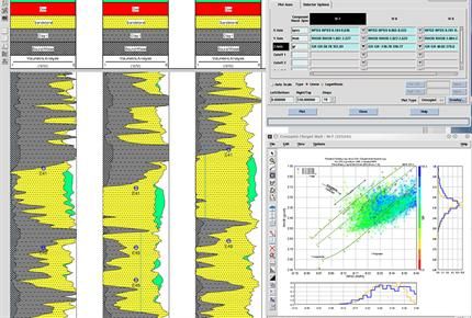
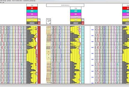
ELANPlus is an advanced multi-mineral log analysis program. It computes the most probable formation mineralogy and pore fluid volumes using a multi-log, least-squares inversion technique. It is particularly valuable in areas of mixed lithologies, special minerals and dual porosity systems.
Features ...
Read More ...
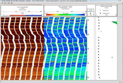
A virtually automatic processing chain with the flexibility to override or optimize parameters, including automatic and manual-repair options to correct acquisition errors.
Features
You can take advantage of processing chains for HDT/OBDT, FMS/FMI/SHDT, UBI/ATS, ARI, HALS, RAB, ADN and Western Atl ...
Read More ...
What is GeoPlot?
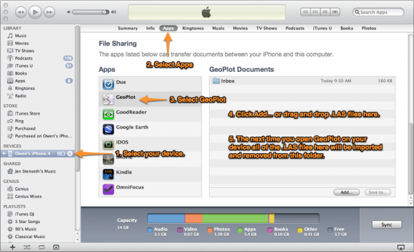
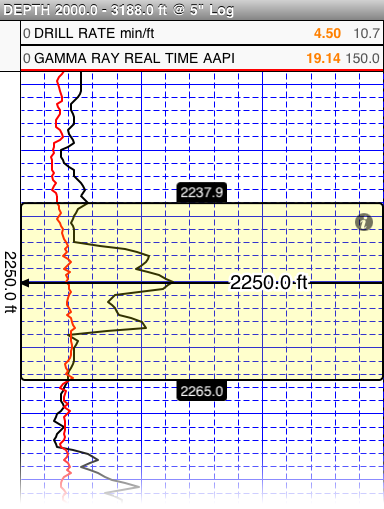
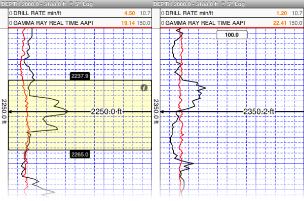
GeoPlot is a well management and geological survey application for iOS devices. Import well log files in LAS 2.0 format to GeoPlot through mail or using iTunes. Create plots from imported logs then annotate, adjust depth settings and scale, view two plots for side by side and adjus ...
Read More ...
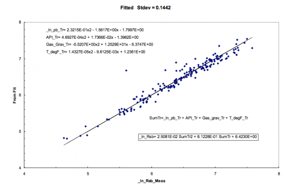
The GRACE program generates an optimal correlation between a dependent variable (say, y) and multiple independent variables (say, x1, x2, x3 .....x30). This is accomplished through non-parametric transformations of the dependent and independent variables.A common application is to correlate core per ...
Read More ...
An Integrated Coordinate Solution
GeoWiz is a mapping application that enables you to translate field survey measurements into grid coordinates as well as perform localized project mapping, and seismic coordinate analysis. Use GeoWiz to quickly generate the essential information required by your of ...
Read More ...
GeoCarta is a single-point data access software solution that enables project teams to explore, analyze, extract and map public and proprietary data with ease to make faster and more accurate decisions.
Using industry-leading technologies, GeoCarta provides a modern, intuitive interface and access ...
Read More ...
GeoVista is the leading oil and gas database browser offering speed and ease of use, integrated engineering and time slice tools, advanced query capabilities, and spatial accuracy. With an advanced yet simple search engine, GeoVista gives you the flexibility and speed to conduct advanced queries usi ...
Read More ...
GPlates Popular
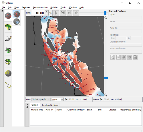
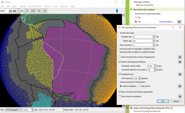
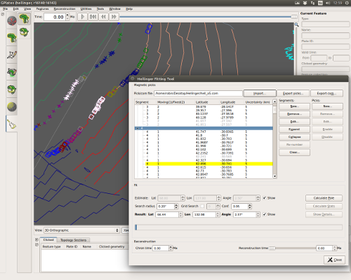
GPlates is desktop software for the interactive visualisation of plate-tectonics.
GPlates offers a novel combination of interactive plate-tectonic reconstructions, geographic information system (GIS) functionality and raster data visualisation. GPlates enables both the visualisation and the manipul ...
Read More ...
GeoTomo's 2-D & 3-D Seismic Data Processing System
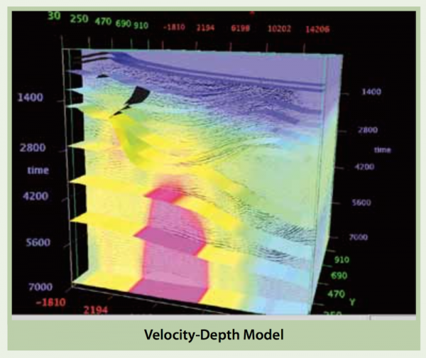
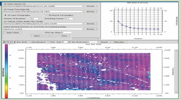
GeoThrust has been designed with a workflow architecture to obtain an accurate earth model and earth image in time and in depth from data recorded with irregular geometry in areas with rough topography, complex near-surface, and complex subsurf ...
Read More ...
The Global Mapper SDK provides a Windows DLL which allows much of the functionality of Global Mapper to be accessed from third party applications. The SDK includes both native 32-bit and 64-bit DLLs, so you can target any Windows system. The Global Mapper SDK is a standard Windows DLL and can be use ...
Read More ...
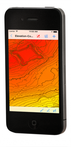
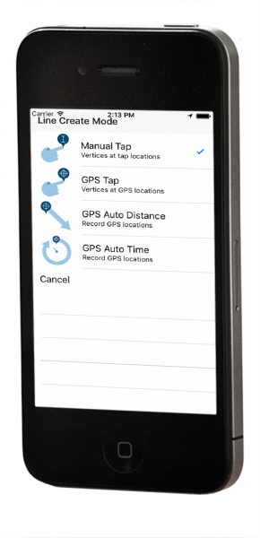
Global Mapper Mobile is a powerful GIS data viewing and field data collection application for iOS and Android (Beta) that utilizes the device's GPS capability to provide situational awareness and locational intelligence for remote mapping projects.
Global Mapper Mobile Overview
A perfect complemen ...
Read More ...
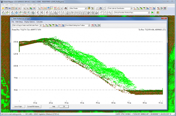
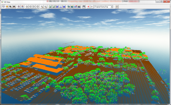
At a fraction of the cost of comparable applications, the Global Mapper LiDAR Module is a must-have for anyone using or managing terrestrial or airborne LiDAR as well as other point cloud datasets.
LiDAR Module Overview
The Global Mapper LiDAR Module is an optional enhancement to the software that ...
Read More ...
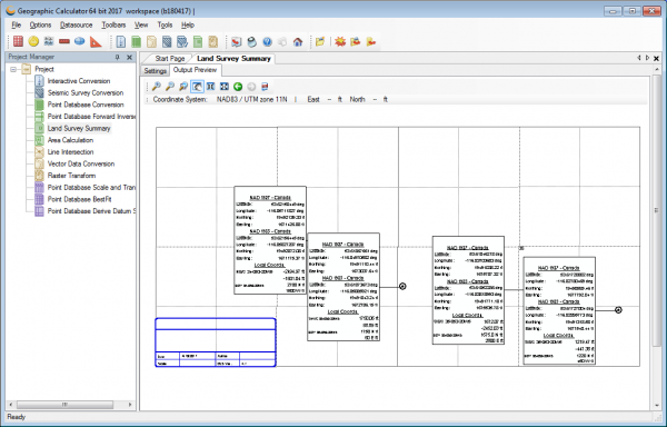
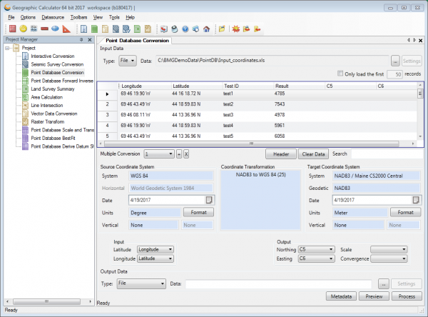
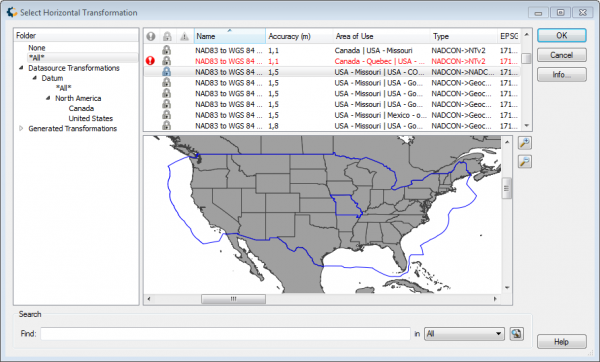
Geographic Calculator is THE Global Coordinate Transformation tool for any coordinate or geomatic challenge.
Geographic Calculator 2017 Overview
Geographic Calculator is a powerful geodetic application with particular strength in survey, seismic, and energy exploration. In addition to single point ...
Read More ...
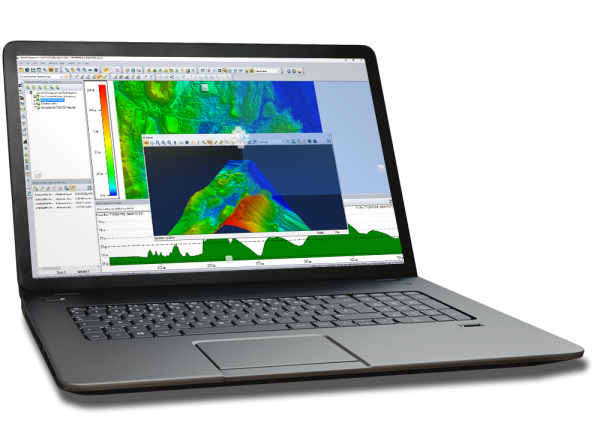
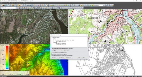
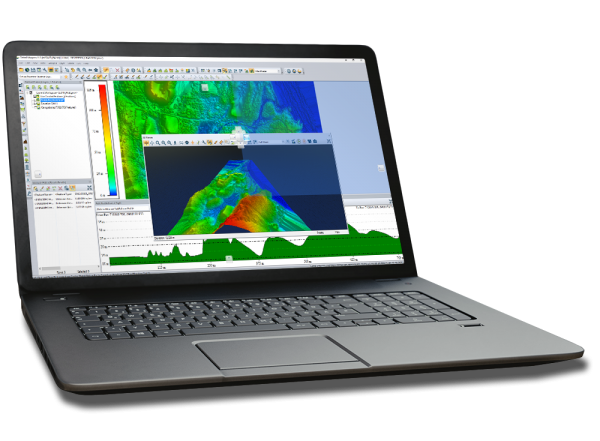
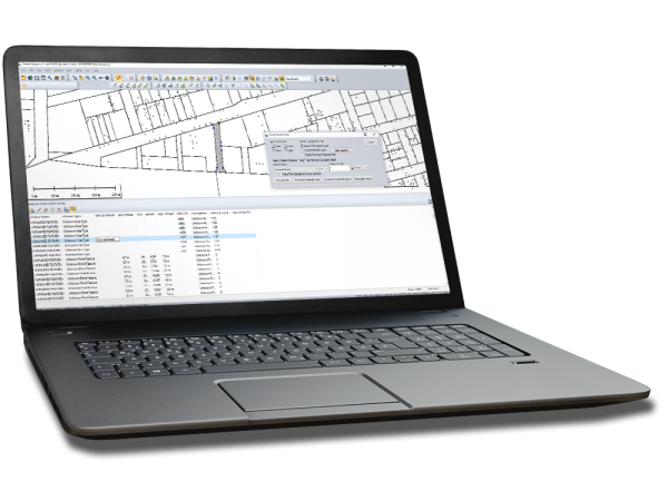
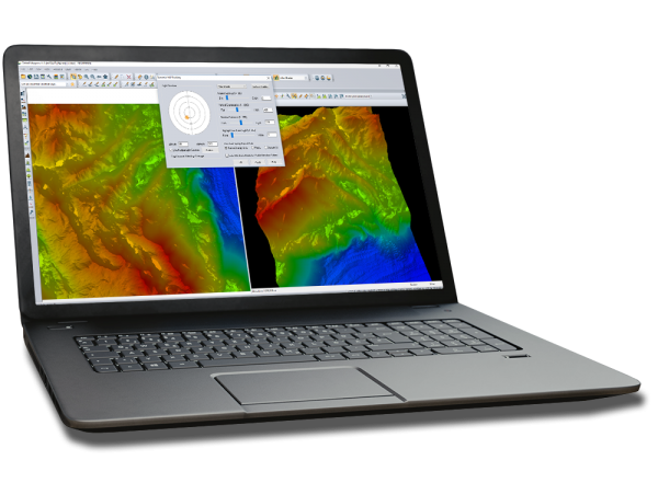
Global Mapper is an affordable and easy-to-use GIS application that offers access to an unparalleled variety of spatial datasets and provides just the right level of functionality to satisfy both experienced GIS professionals and beginning users.
Global Mapper Overview
Equally well suited as a sta ...
Read More ...
GeoCalc SDK is a sophisticated and precise coordinate transformation toolkit that allows developers to embed our technology into their custom geospatial software.
GeoCalc SDK Overview
The GeoCalc Software Development Kit (SDK) is a fully object-oriented class library designed for GIS professionals ...
Read More ...
Harness the power of GeoCore - Blue Marble's all in one geospatial data conversion API.
GeoCore Overview
Used by hundreds of commercial geoscience applications, it's likely you've used it before. GeoCore provides software developers with powerful coordinate transformation capabilities as an embedd ...
Read More ...
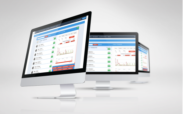
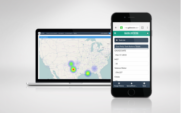
Production Data Analytics help companies decrease OPEX by providing decision makers with the insight on how to boost production and prevent downtime.
Analyze Relevant Data in Real-Time
Aggregate Information from Multiple Data Sources
Optimize Production
Reduce Downtime
Create Production Visib ...
Read More ...


