List Categories and Listings by M
Cutting Edge Mapping and Spatial Analysis
MapViewer is an affordable mapping and spatial analysis tool that allows you to produce publication-quality thematic maps easily. Independent consultants, scientists, GIS analysts, sales organizations and numerous government agencies are discovering importa ...
Read More ...
FREE VIEWER FOR MIGRIS RESULTS
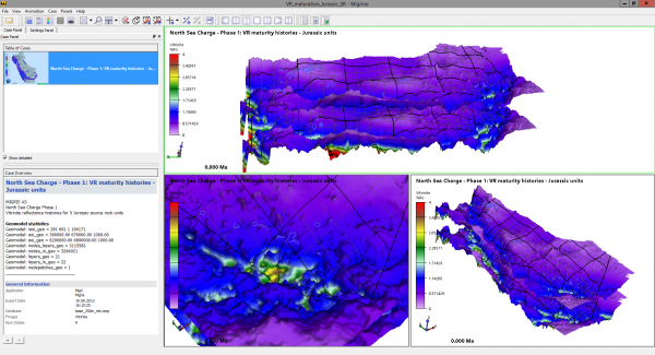
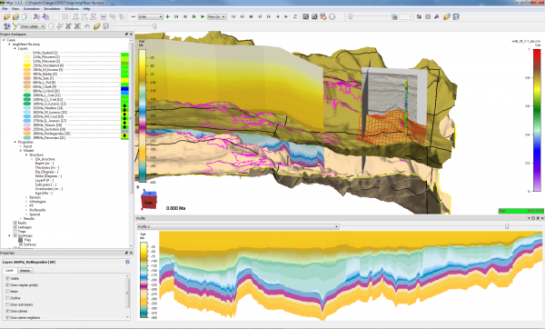
Migrino is our free viewer that allows 3D visualization of exported simulation results from MigriX and Migri. Share your results with partners and colleagues.
Features
Free download
Animation of basin evolution and/or uncertainties
Available for Windows and Linu ...
Read More ...
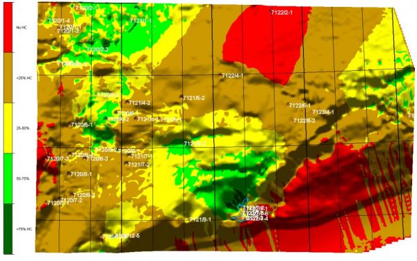
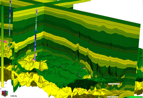
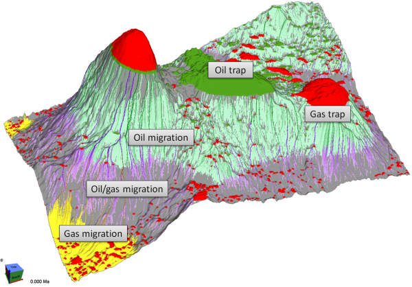
Migri simulates, animates and visualizes the migration of hydrocarbons through 3D models. The basin modelling software combines probabilistic Monte Carlo techniques with innovative migration modelling process description to reduce geological uncertainties and assess the petrolem systems and charge r ...
Read More ...
MigriX provides the exploration geologist with a lightweight tool for fast and simple analysis of the petroleum systems – streamlining your team’s workflow.
Charge modelling is often considered a time-consuming task, relying on complicated and expensive modelling tools that require expert skills to ...
Read More ...
This is a File Auditing, Management and Model Version Control Tool
The Model Catalogue is designed to allow the engineer to have a structured archiving system to store and retrieve IPM and field model data files. The engineers can thus maintain a complete history of each version of a model as it is ...
Read More ...
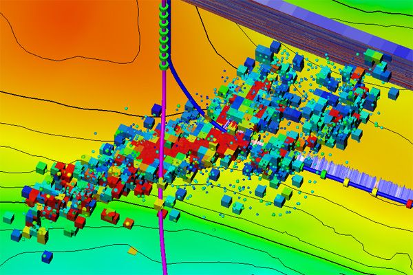
Introducing Microseismic Evaluation
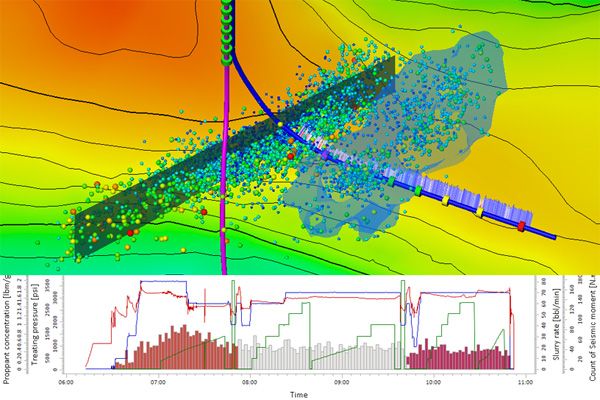
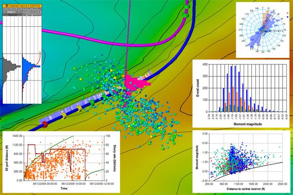
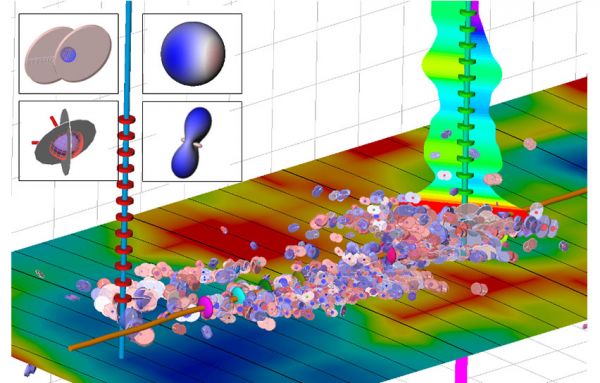
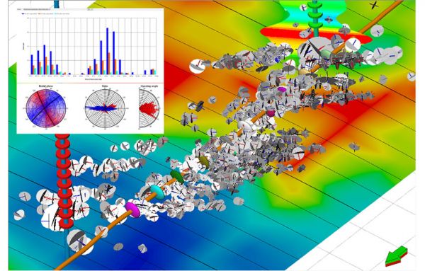
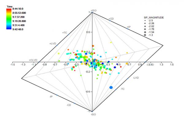
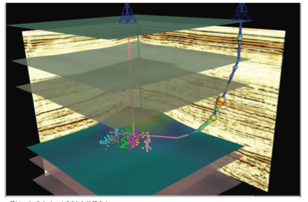
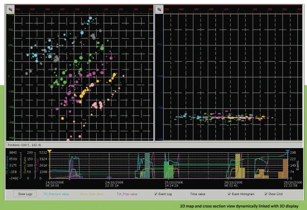
Microseismic Evaluation plug-in for Petrel is part of an integrated environment through which geoscientists, stimulation, and production engineers can interact to provide hydraulic fracture geometry interpretations, combining microseismic event locations with pum ...
Read More ...
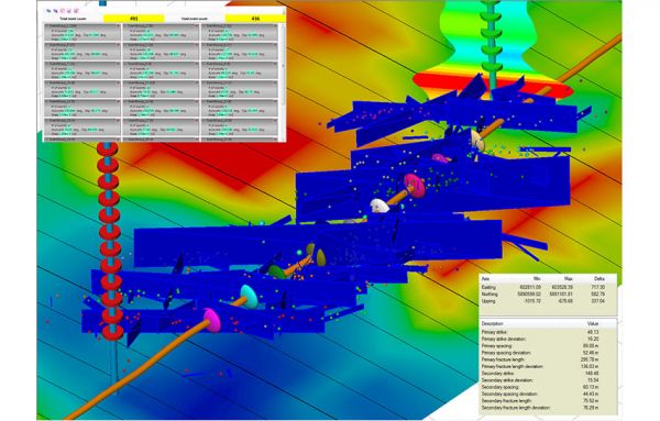
Discrete Fracture Network extraction tools From microseismic events and optionally using moment tensor data, a discrete fracture network (DFN) can be extracted and integrated with other work in Petrel (This extraction feature is licensed separately)
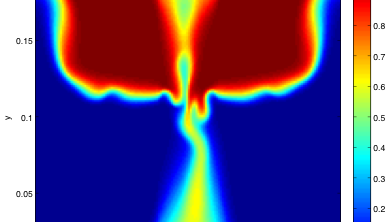
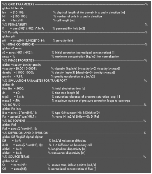
MaFloT is a Matlab based 2D Finite-Volume algorithm to simulate flow and transport in porous media. It was designed as a reference code at the Institute of Geophysics (now part of the Institute of Earth Sciences) at the University of Lausanne to evaluate multiscale algorithms. It can be downloaded f ...
Read More ...
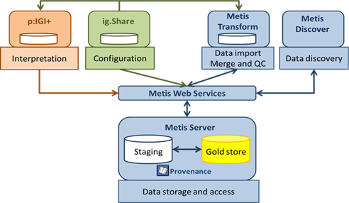
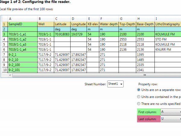
Metis is IGI's developing geochemistry data management solution. Metis is being developed in partnership with three large oil and gas E&P companies, and will provide a unique system for acquiring, quality controlling and managing geochemical data.
Unlike p:IGI the focus of Metis is corporate da ...
Read More ...
MatBal® Popular
Tracking recoverable reserves over time no longer requires a complex and costly reservoir modeling package. Material balance techniques allow you to track how pressures and fluid characteristics change with time, giving you an accurate production forecast and a true accounting of your reserves.
Wea ...
Read More ...
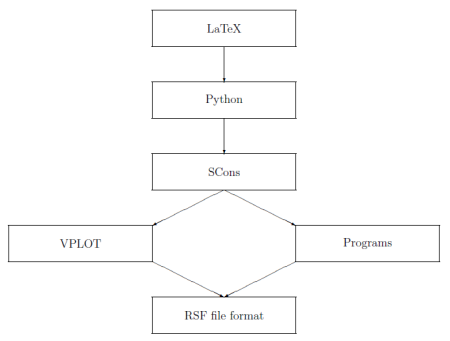
Madagascar is an open-source software package for multidimensional data analysis and reproducible computational experiments. Its mission is to provide
a convenient and powerful environment
a convenient technology transfer tool
for researchers working with digital image and data processing in ...
Read More ...
MiVu Popular
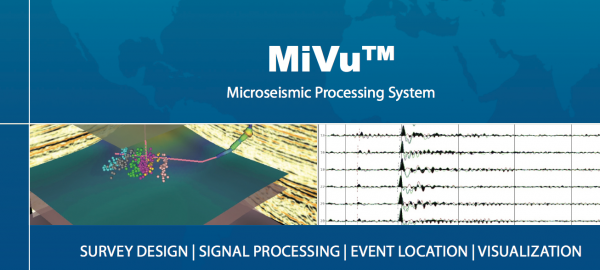
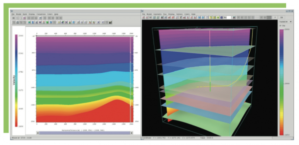
MiVuTM is a software package designed to perform microseismic monitoring during hydraulic fracturing.
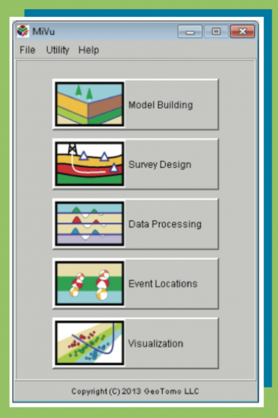
MiVuTM offers capabilities for building simple and complex geologic models interactively, designing optimal microseismic monitoring geometry, processing data with user-defined workflows, imaging ev ...
Read More ...
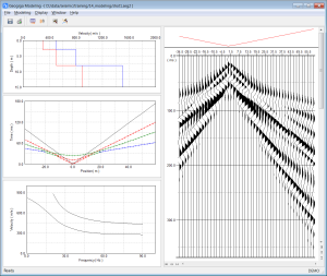
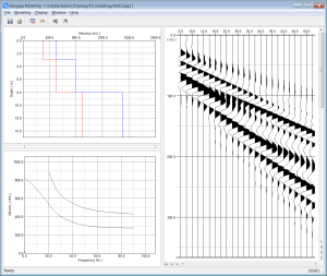
MODELING generates synthetic surface waves, refracted, reflected and air waves based on a layered velocity model.
Features
Input and plot layered velocity model
Model fundamental and high-mode surface waves
Generate reflected and refracted waves
Simulate air waves
Plot fundamental and high-m ...
Read More ...
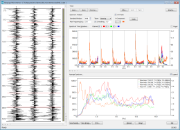
MICROTREMOR MICROTREMOR uses spectrum analysis to get the predominant period and frequency of a site from ground motions. The amplitude or power spectrum and H/V spectral ratio can be plotted together.
Features
Select and analyze time segments
Analyze amplitude or power spectrum
Calculate and ...
Read More ...
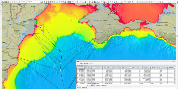
The Maritime Limits and Boundaries extension provides a set of tools for calculating maritime limit lines and maritime boundary lines in ArcMap.
Users can capture, configure, store and disseminate their data using an industry leading GIS platform. This is a major advantage to usability as the data ...
Read More ...
Build your structural models directly within the seismic volume, save time and incorporate all the details from your interpretation.
GeoTeric's modelling functionality allows you to build your models without getting into the (traditional) geocellular domain. Incorporating petrophysical property dis ...
Read More ...
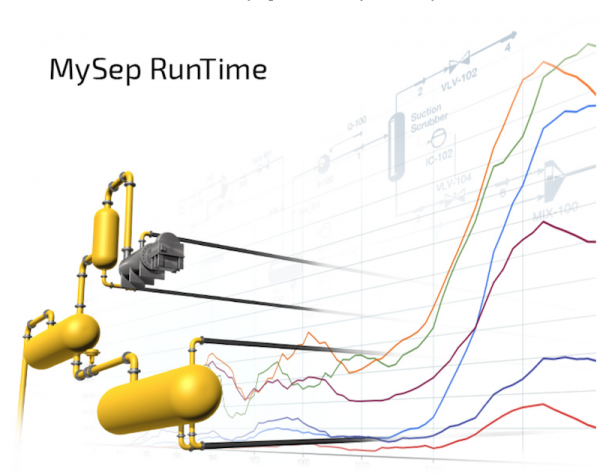
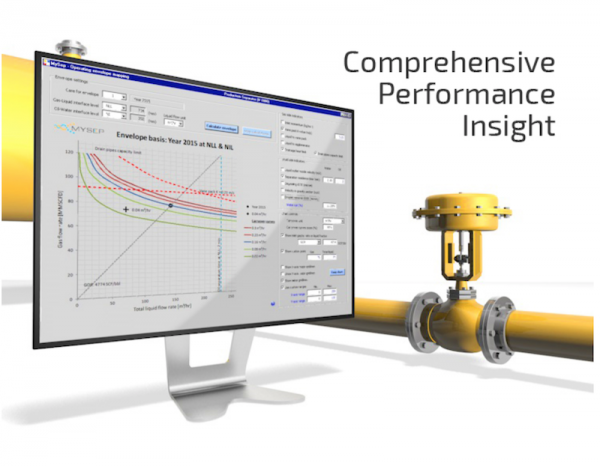
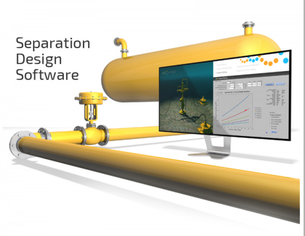
MySep Main Features
MySep software has a wealth of features, that provide engineers with tools and insights to design and evaluate separation vessels in a comprehensive and efficient manner.
Phase separation
Gas - liquid separation
Liquid - liquid separation
Liquid - sand separation
Automa ...
Read More ...
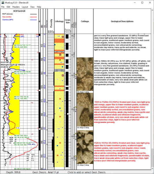
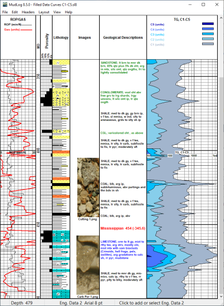
Why Buy MudLog 8? Easy to Learn and to Use Whether you are an experienced computer user or not, you can quickly learn to use MudLog. If you are familiar with similar Windows programs, you will be off and running in minutes.
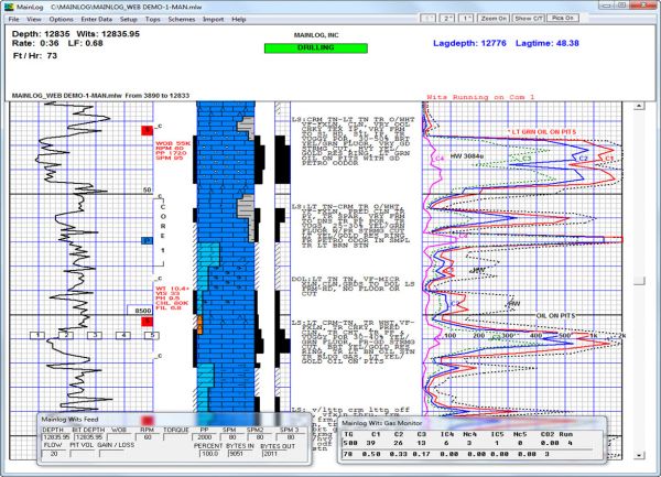
MainLog is a full-featured WINDOWS mudlogging program that will save you time and money while improving the accuracy and quality of your finished log. We include numerous features and requirements of logging companies with specific needs in the regional areas they work. We listen to, and work with l ...
Read More ...

