List Categories and Listings by G
WELLBORE STABILITY MODULE
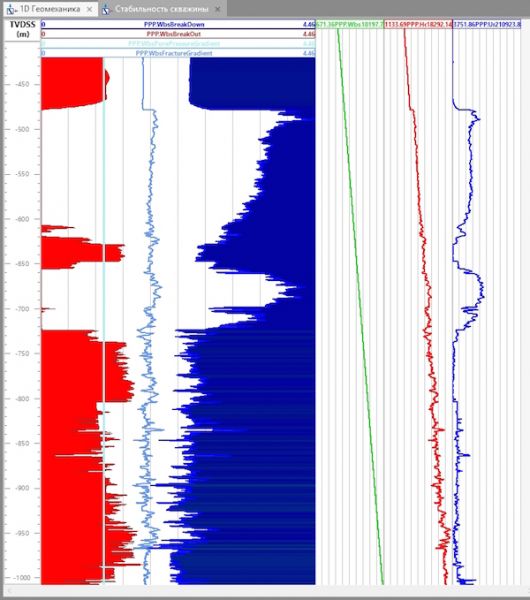
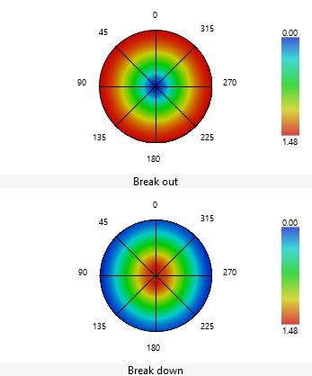
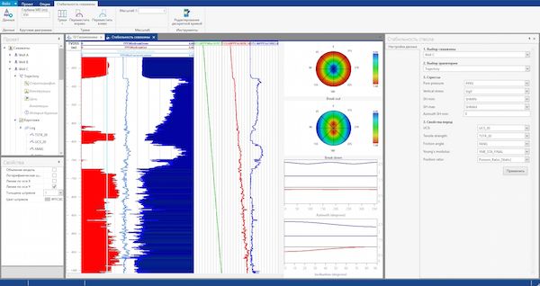
Module of wellbore wall stability allows the engineer to obtain a detailed view of near-wellbore stresses distribution. The results of calculations allow defining optimal window of drilling fluid window, instability intervals and to optimize the casing scheme.
Applying th ...
Read More ...
3D MODULE
Main Features:
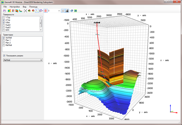
Castomization of the visual objects in the module;
Easy navigation tool built into module;
Print and create images for daily reports;
Direct and easy import of surfaces from Petrel;
Update trajectory and dips for the current project in real-time;
Compare local and r ...
Read More ...
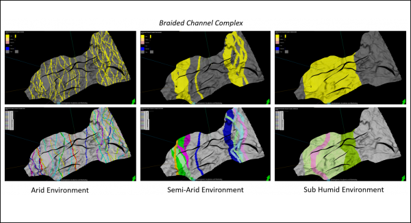
Ava® Clastics analogue database and clastic sedimentology software includes transformation technology, GeoCypher™ logic, that converts a Depositional Concept into recommended parameters for use in facies modelling algorithms. Based on your query of the analogue databases, GeoCypher logic analyses th ...
Read More ...
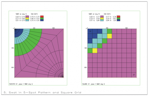
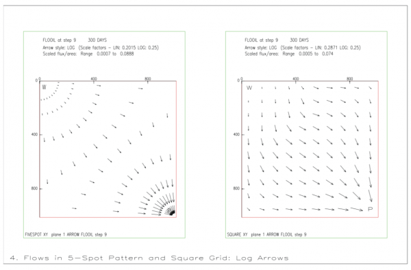
GRAF is a general post-processing package for the ECLIPSE simulator. It provides facilities for displaying simulation results and user data in graphical form. Various types of plots are available, including line graphs, colour-filled grid solution displays, contour displays, arrow diagrams, transmis ...
Read More ...
Stay in the zone
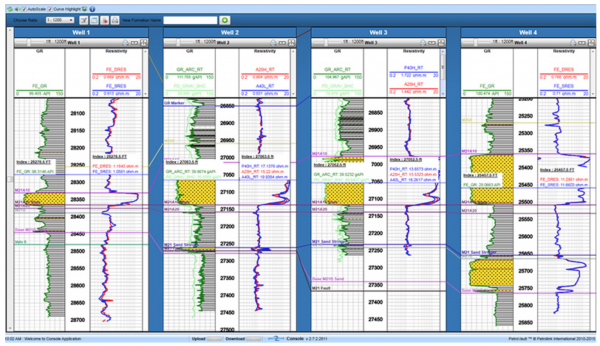
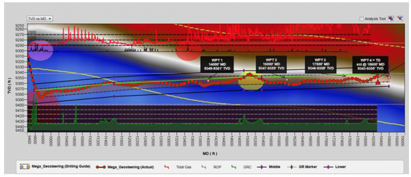
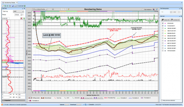
Drilling a borehole in complex geology requires continued adjustment in order to reach one or more reservoir targets. Petrolink brings all your data together in one place, giving your team shared access to the real-time information you need to keep your well in zone and on target. ...
Read More ...
GEOVS™ 2D/3D VSP DATA PROCESSING AND IMAGING
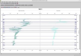
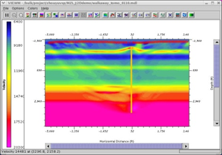
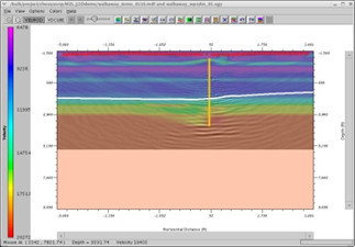
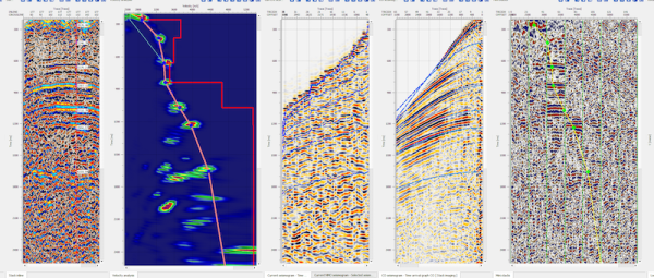
GeoVS™ is a 2D/3DVSP data processing and imaging software program. GeoVS™ offers capabilities including building geometry, picking first breaks, particle motion analysis, orientation, signal processing for 2D and 3D wave field separation (parallel comput ...
Read More ...
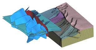
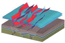
Tessael - A Geologic Meshing Company
Not all geologic meshing problems are equal!
Lots of them can't be taken care of by off-the-shelf solutions.
At Tessael, we go the extra miles and make the difference by catering for your specific meshing needs using our GeO2 technology.
Tessael is a spin-off ...
Read More ...
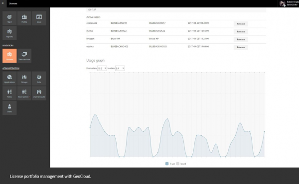
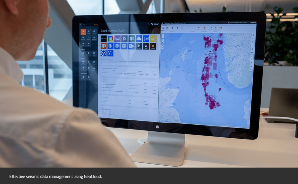
GeoCloud - A cloud solution for oil and gas, renewables, and Ocean Industries
GeoCloud is the only vendor-agnostic petrotechnical cloud solution that facilitates all your applications and data in one collaborative and flexible solution.
Overview
Geology and geophysics (G&G) software and appli ...
Read More ...
IsoMap
Subsurface Interpretation
GeoGraphix IsoMap utility is a comprehensive surface modeling and contouring application that can be used on a wide variety of data sets. IsoMap® provides 10 different interpolation algorithms, e.g. minimum curvature, adaptive fitting etc. from which geologic surfa ...
Read More ...
A Powerful Mapping Environment for Professionals
GeoAtlas is a robust mapping environment for GeoGraphix that facilitates displaying, modifying, and arranging map layers created in other GeoGraphix applications. It facilitates designing maps and montages, as well as providing a platform for other a ...
Read More ...
Fully Integrated 3D Interpretation
GVERSE Geomodeling is a sophisticated integrated solution for subsurface geological/reservoir modeling. Detailed analysis of the reservoir is always crucial prior to field and well planning. With GVERSE Geomodeling, making an informed decision is much easier as th ...
Read More ...
Optimize your production
GVERSE Field Planner offers powerful, quick & easy field planning capabilities that result in time and cost reductions, allowing field planners to create, save, analyze and manage multiple field plan scenarios to determine optimal hydro carbon production.
GVERSE Field ...
Read More ...
Powered by USLandGrid
GVERSE® Data includes well and production data, land grid, and culture data in native GeoGraphix file formats.
Seamless importing of land grid and culture, well and production (without any need for spreadsheets).
Smart land grid for mass recalculation of old wells and leas ...
Read More ...
GeoCT-I is a fully automated refraction traveltime tomography application for Windows. It presents a new way to image the Earth. After you activate the software, point the program to the folder where the data will be recorded. As each new shot is recorded, the program will automatically load it and ...
Read More ...
GeoCT-II is a 2D seismic modeling and imaging software package designed for geophysical engineering applications. It includes an advanced model builder, finite-difference full wavefield calculation for acoustic, elastic, and anisotropic media, raytracing and tomography for refraction, reflection, cr ...
Read More ...
The future of oil exploration has arrived
Improved understanding
Models the transportation, erosion and depositions of sediment gravity flows.
Determines the location, geometry and properties of the sediment deposits
Improved decision making
The results from the simulation will give a more ...
Read More ...
g-Platform™ – seismic data processing software
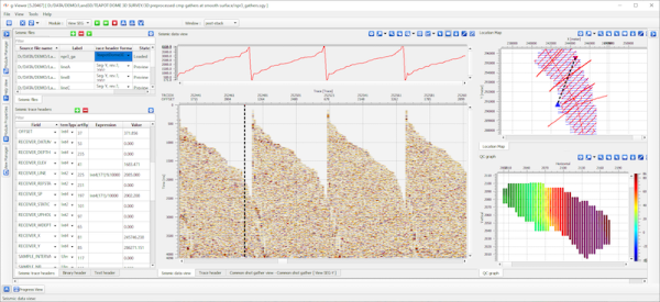
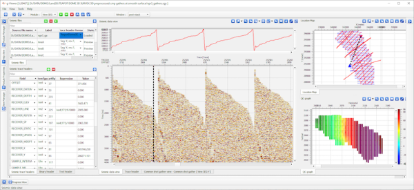
Geomage g-Platform™ is the most innovative, interactive and advanced software for processing and imaging seismic data of any type and format. The software based on latest developments in software and hardware technologies, can run Windows or Linux and ...
Read More ...
Seismic Interpretation Software
Dynamic synchronization between all views
Horizon picking and management
Simultaneous horizons interpretation on 2D, 3D or arbitrary line view
Interactive picking in time or depth domains
Import/export horizons in ASCII and some other formats
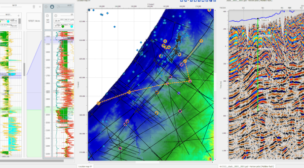
Horizon map creat ...
Read More ...
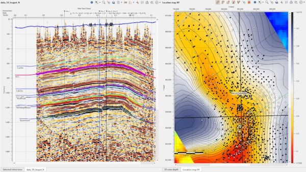
Interactive location map
Allows to visualize multiple data coordinates on interactive location map
Features related to visualization of multiple dataset locations available only in commercial version. The view includes following options:
Interactive selection of seismic dataset
Plotting all so ...
Read More ...
geoDataMiner Well and Seismic dataset management and mining to build structure and reservoir maps.If the seismic is not available, the sparse well property can be interpolated to study the distributions of reservoir parameters. In addition to Support Vector Regression (SVR) method for interpolation, ...
Read More ...

