List Categories and Listings by S
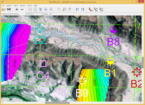
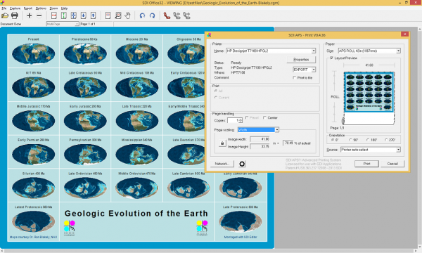
View CGM and other vector or image graphics files, view, convert and print.
SDI Office is a multi-purpose Windows application for viewing, conversion and printing graphics and image files. View multiple 2-D formats including CGM, PDF, PostScript, HPGL, DWG/DXF, EMF, TIFF, JPEG, PNG, BMP, XWD and CA ...
Read More ...
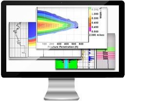
StimPlan™ is a complete and integrated software solution for hydraulic fracture design, analysis, and optimization. With a comprehensive integrated toolkit and the industry’s most rigorous geometry models, StimPlan™ helps operators worldwide maximize their well performance while lowering expenditure ...
Read More ...
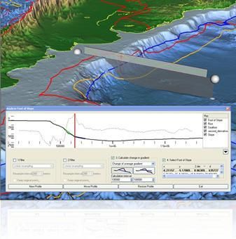
Geocap Shelf is a full 3D toolbox including everything needed for continental shelf delineation in accordance with United Nations Convention on the Law of the Sea, Article 76.
Geocap Shelf is a complete solution for continental shelf mapping and determination of a nation's continental shelf beyond ...
Read More ...
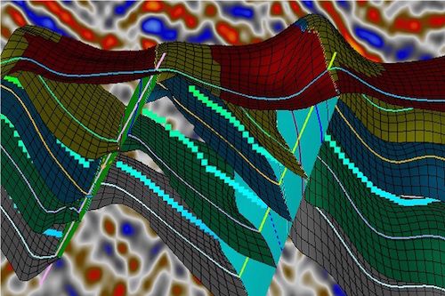
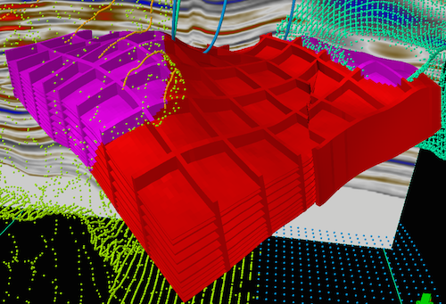
The Seismic Slicing plug-in enables the creation of slices of various objects like structural frameworks, pillar grids, triangle meshes or regular surfaces. Slicing planes are defined by inlines and crosslines of seismic cubes. The produced intersections are always geometrically accurate, indenpende ...
Read More ...
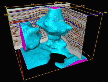
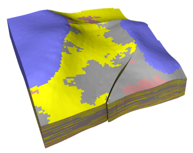
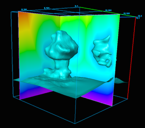
The Salt & Geobody Modeling plug-in not only generates surfaces or salt domes or other complex geobodies. It also enables the creation of a true "shared salt model" which can be used at any point of the exploration and production workflow.
More specifically, the shared salt model created by the ...
Read More ...
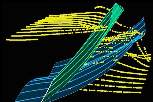
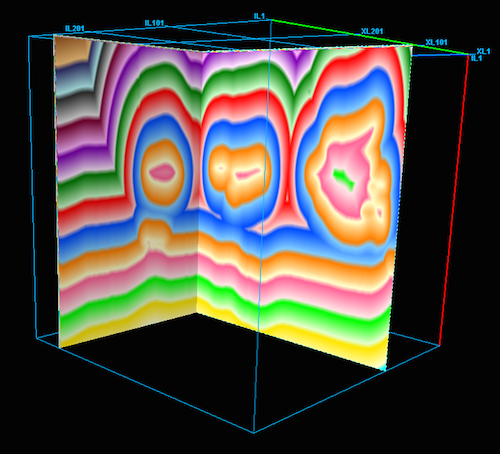
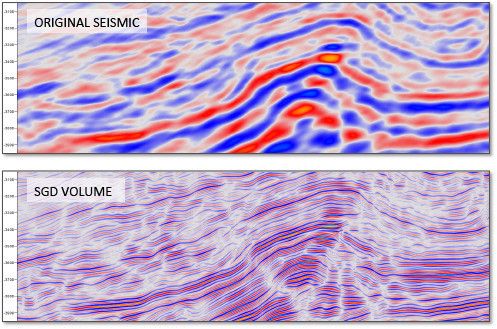
Seismic Geometric Decomposition (SGD) Plugin for Petrel Helps to minimize risk and reduce uncertainty by improving the delineation of the Fault System, the external and internal reservoir architecture.
The SGD Volumes recover the internal geometry variations of the original seismic reflectors gen ...
Read More ...
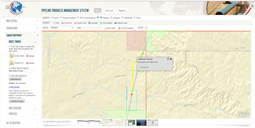
SmartFootprint™ plays a key role in oil and gas and alternative energy projects. SmartFootprint™ provides an easy to use simulation environment that supports sound decision-making with regard to pipeline routing, pipeline cost analysis, and risk mitigation; essentially putting advanced tools into th ...
Read More ...
SmartFootprint™ for Oceans uses a suite of tools to model offshore route options which are technically feasible, cause minimal environmental impact, and can be constructed at reasonable cost.
Offshore routing of oil and gas pipelines and communication cables presents unique challenges to planners. ...
Read More ...
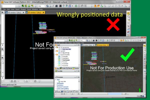
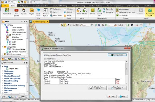
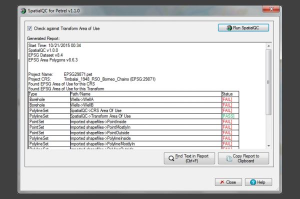
Your project CRS may become unfit as the study area grows
More data translates to better estimation and lower risk. Thus, it is common to see Petrel projects growing in data volume and geographical coverage. Using SpatialQC, users can check when the project data has exceeded the CRS valid coverage ...
Read More ...
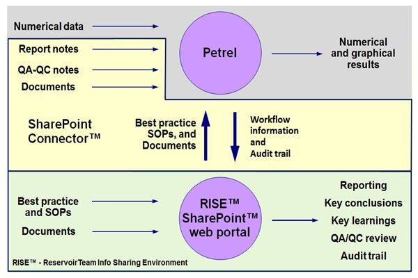
RISE™ - creating a knowledge ecosystem
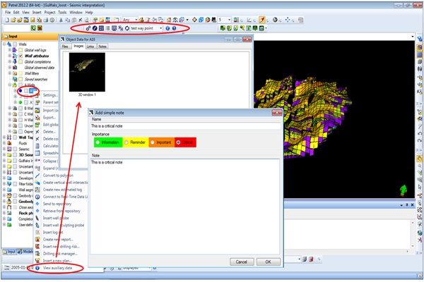
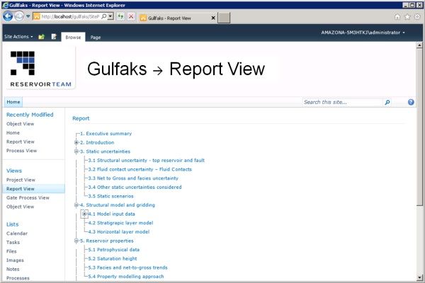
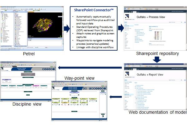
Sharepoint Connector™ leverages of the Petrel modeling effort to create a knowledge ecosystem documenting (RISE™) specific model results in a systematic manner, capturing the modeling journey via QA/QC waypoints, and correlating modeling results in a general t ...
Read More ...
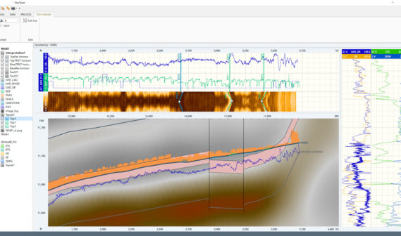
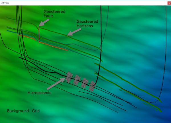
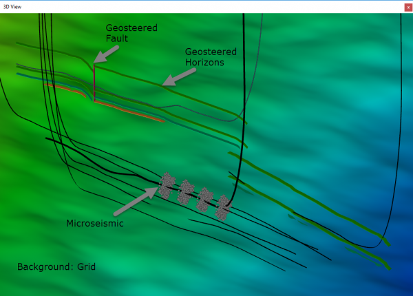
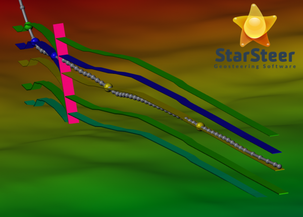
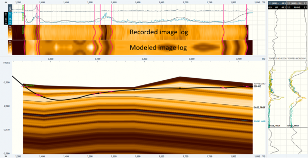
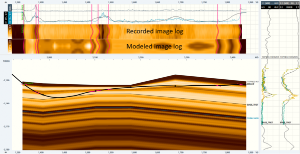
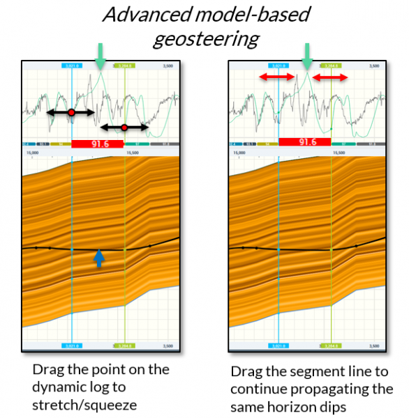
StarSteer is revolutionary user-friendly geosteering software designed to maximize the efficiency of horizontal drilling and provide improved understanding of reservoir geology.
WHY STARSTEER?
As the remote horizontal well geosteering becoming more popular and commonly used for well-drilling in va ...
Read More ...
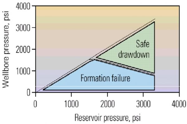
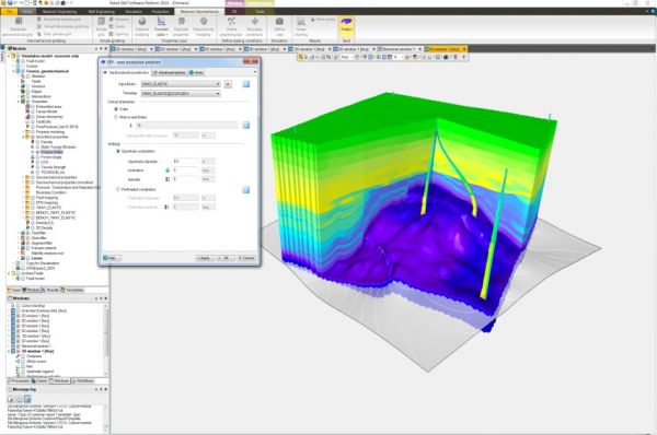
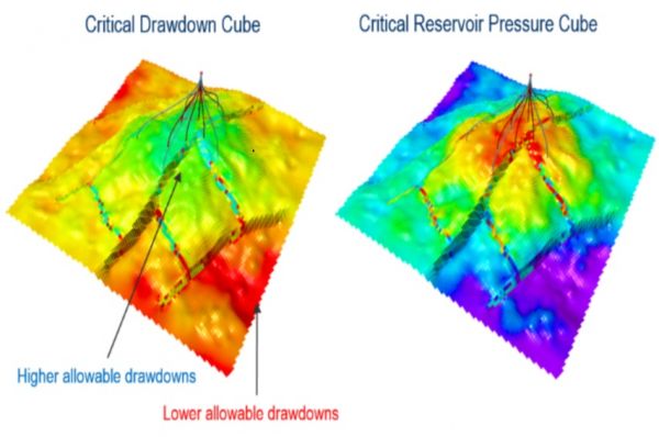
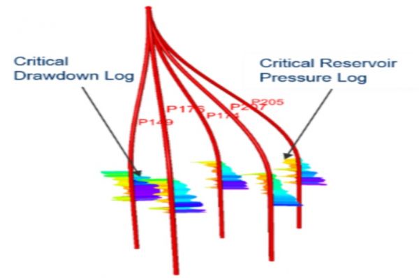
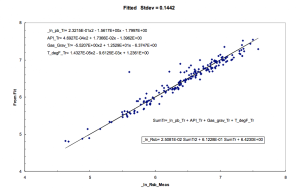
Critical drawdown and critical reservoir pressure logs
For an individual well, critical drawdown and critical reservoir pressure are computed in SPP. Based on this analysis, the well trajectory, perforation diameter and orientation can be optimized to maximize the allowable drawdown for sand free p ...
Read More ...
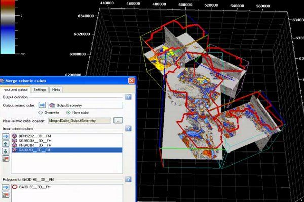
Merge several input 3D seismic cubes
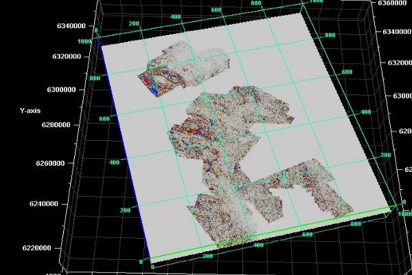
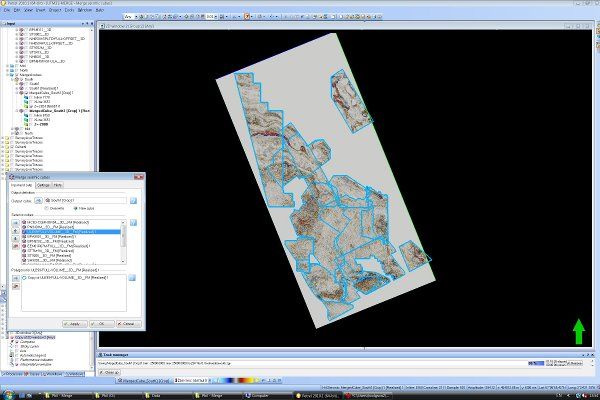
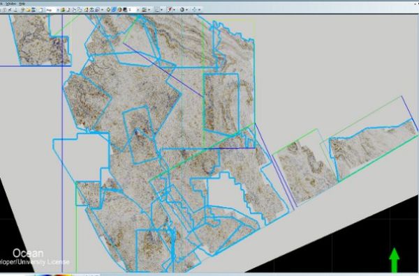
The user interface allows the user to easily define several input seismic cubes of different sizes, orientation, geometry, amplitude values and sampling rates. It also allows input cube prioritization and definition of a set of polygons to select seismic regions ...
Read More ...
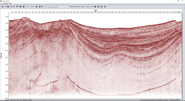
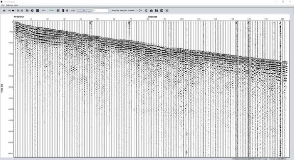
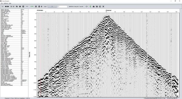
SeismiGraphix is a free application developed 100% in java which main purpose is to help visualize multiple seismic formats in different operating systems. As being developed in java this allows it to run in multiple operating systems that support the Java Run time Environment JRE 1.7 or above.
Sei ...
Read More ...
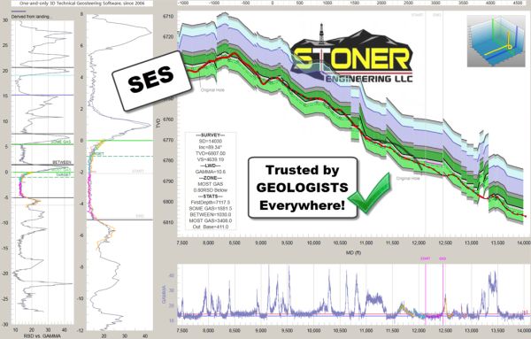
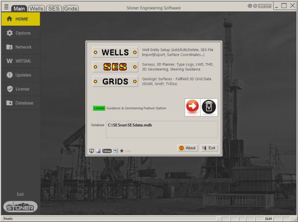
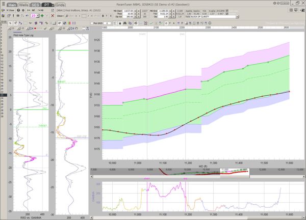
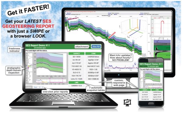
STONER ENGINEERING SOFTWARE Popular
Drilling a predetermined geometric horizontal well path does not lead to commercial success because the stratigraphic location of rock holding access to sought-after hydrocarbons is not accurately known geometrically at undrilled/unlogged depths. This structure mapping reality extends from nature's ...
Read More ...
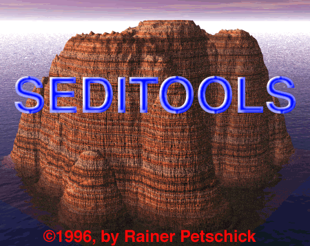
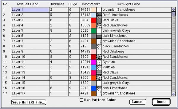
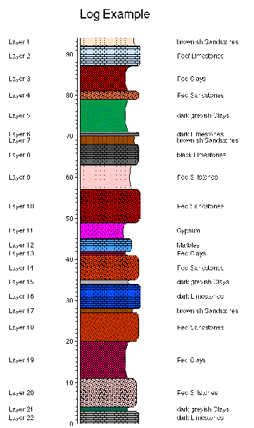
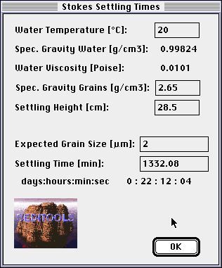
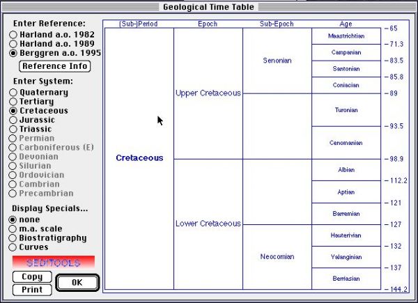
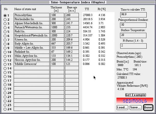
SEDITOOLS is a collection of simple applications to convert or calculate some things as used in sedimentology.
Currently six tools are available:
A Geological Time Scale - as published in Harland et al. 1982, Harland et al. 1989, as well as Berggren et al. 1995, Gradstein et al. 1995 (complete r ...
Read More ...
S3D is a 3-D streamline simulator for tracer flow and two-phase (oilwater or miscible flooding) displacement. The approach comprises of two steps: generating streamlines in 3D space and then solving the 1D equations analytically or numerically along the streamlines. The following are the important f ...
Read More ...
S3D-INV is capable of performing two-phase production data inversion and interwell tracer test data inversion. For both of the cases, the estimable parameters are either absolute permeability or porosity. For the special case of tracer inversion, estimation of residual oil saturation is possible wit ...
Read More ...
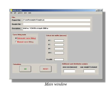
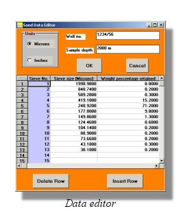
Single, wire wrapped screens are commonly used for sand control. Compared to pre-packed screens they are not as easily plugged by drilling mud and the sand control method is a fine balance between production objectives and completion choices.
Due to limitations in traditional design criteria, use o ...
Read More ...
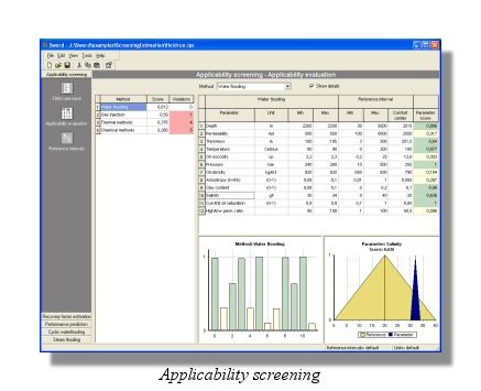
SWORD is a unique software package designed for rapid reservoir, field or prospect evaluation, fast screening and predictions of Improved Oil Recovery (IOR/EOR) methods potential.
The fast screening and prediction techniquesare based on multi-criterion models, proven analytical solutions, existing ...
Read More ...

