List Categories and Listings by W
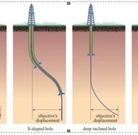
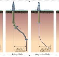
Well plan design for Vertical, Slant, Horizontal, S-curve wells KOP to EOB build rations per 100.ft or per 30 mtrs Calculated closure azimuth Auto built charts for Vertical Section view lateral offset, Plan view and DLS Export the trajectory to import into casing design
Well Plan is a complete planning and directional program which calculates closure azimuth build rates MD and TVD
Well path trajectories cover vertical, slant, horizontal, s-curve and a feature to add in a custome trajectory
Rig locations are covered, with onshore, shallow water offshore jackups ...
Read More ...
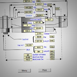
The Electronic Flange Slide Rule replaces the old Cameron cardboard slide rule Well Head Flanges, drilling spools, braden head, flange sizes, pressure rating, number of bolt and make up torque, Ring Gasket number
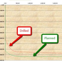
A directional drilling program along with a planned well path trajectory You have the option of importing a survey for the Directional Drilled Section The data from Well Path can also be exported and used to import data to the Casing Design program
All the standard industry well control methods. Drillers method, Wait and weight, Stripping in, Concurrent method, Volumetric method Choke and Kill Line friction pressure. BOP closing times and accumulator volumes Virtical or horizontal, Onshore Offshore
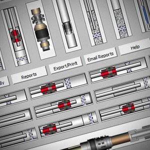
Includes Over 1000 Hi-Resolution Tools and Graphics to use in your well bore schematic This is the first and most comprehensive Workover office program in the oil patch One click select a tool and drops it into your well bore schematic plus much more
WSegyCat concatenates SEG-Y files Concatenated files should be compatible, i.e. they must have same : format code sample inteval same trace length same endian
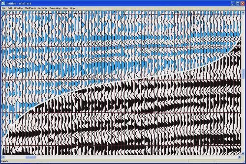
Canesis has developed WinTrack™, a proprietary software package for seismic trace reconstruction/vectorising.
WinTrack™ is currently used internally by Canesis' and is not yet available for sale. A commercial release version is in preparation which will feature a streamlined interface for ease of u ...
Read More ...
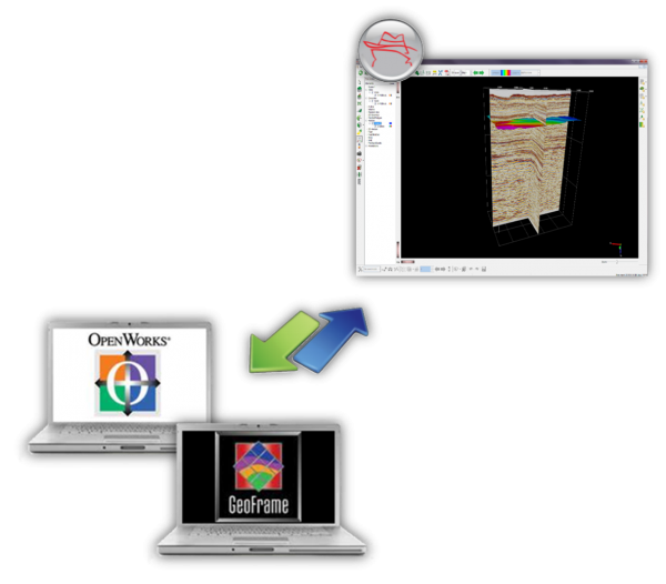
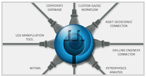
A plug in for OpendTect which provides direct connection to OpenWorks® and GeoFrame*
Benefits
Direct connection to core interpretation systems, GeoFrame and OpenWorks
Allows Geoscientists to focus on work flows rather than wasting time on data handling
Facilitates efficent workflow effort betw ...
Read More ...
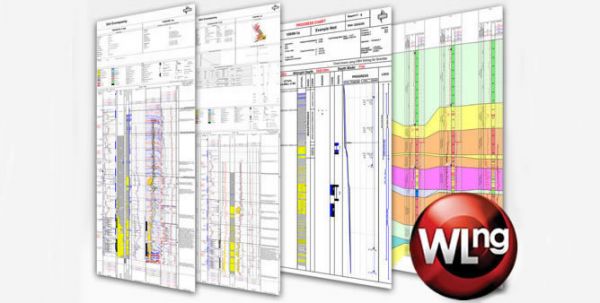
Winlogng - The Next Generation Of Winlog
Rewritten from the ground up to support increasingly sophisticated E&P log drawing requirements, our breakthrough technology sets a new standard for the industry.
Built with the latest software development tools and techniques, Winlogng introduces unpar ...
Read More ...
WinDOT - The Digital Oilfield Toolkit
WinDOT is an enabling technology that allows customization of Gravitas to provide plug-in solutions to specific business needs.
Gravitas has always been highly flexible and customizable to suit the needs of operational geology. Now the scope has been widened t ...
Read More ...
WinDART - The Data Acquisition Module
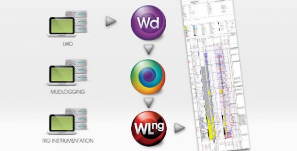
Direct, central collection point for real-time drilling data at the rig, including MWD, LWD, drilling instrumentation and mudlogging.
WITS (Wellsite Information Transfer Specification) Level 0 is used to collect standard or custom data records across a network ...
Read More ...
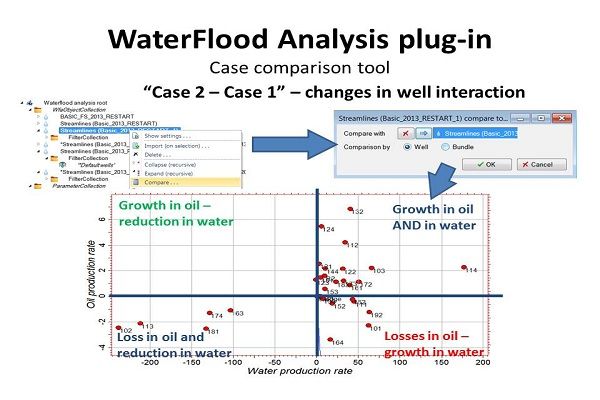
Case comparison — workover effect analysis
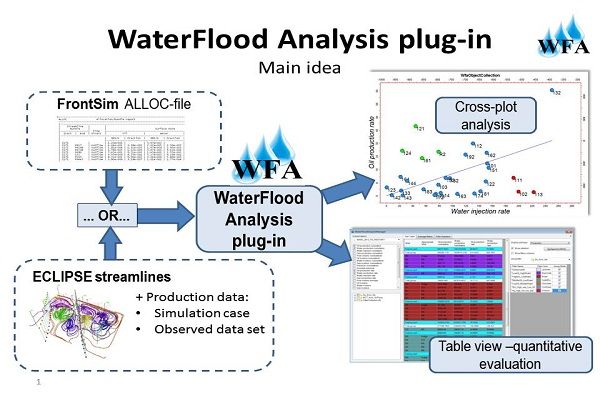
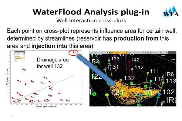
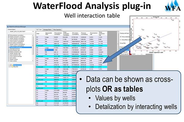
Another feature of WaterFlood Analysis plug-in is the ability to compare different workover scenarios. On a well-by-well basis, user can see flow changes due to workover program, find wells that had gotten negative effect from the existing workovers and ch ...
Read More ...
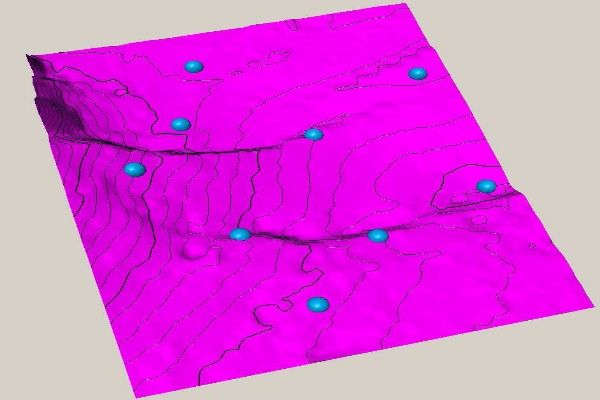
Surface with learning points
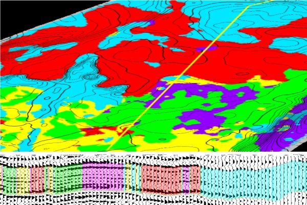
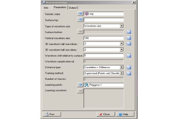
The point dataset corresponds to the exact position, in the input seismic cube, where the program will take the various class typical waveforms. This option allows for conducting a semi-controlled classification. Usually, the well location points are taken so that the r ...
Read More ...
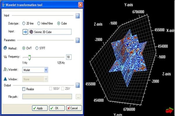
Plug-in interface
The user has the option of generating attributes for either inline, crossline, whole cube or 2D seismic data. Output can be realized in ZGY format or can be saved directly in SEGY format.
Plug-in Overview
The "Wavelet transformation tool" plug-in for Petrel provides tools for sp ...
Read More ...
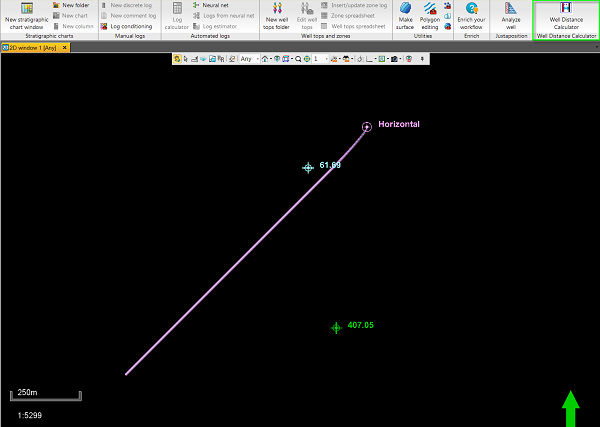
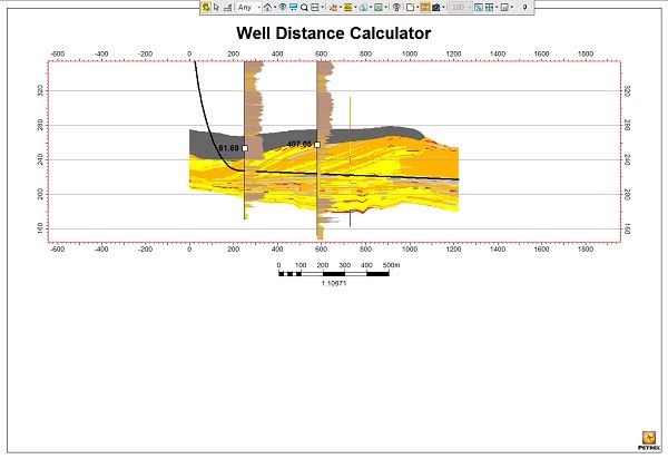
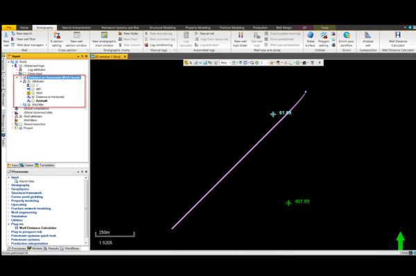
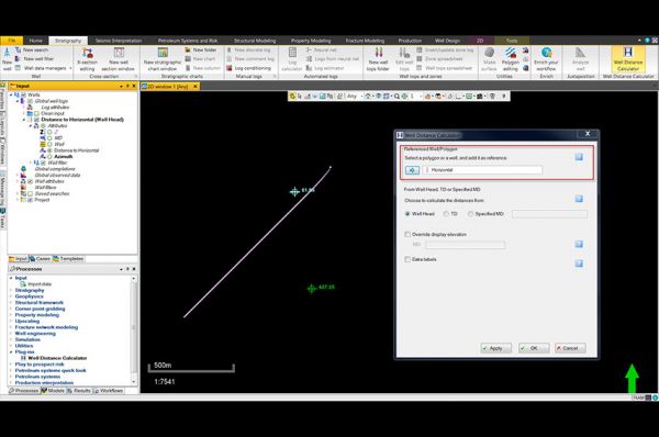
Distances calculated stored as point well data
After the reference well or polygon is selected and settings confirmed, a point well set is created and stored underneath the project’s global well logs folder. These points can be turned on and off in the desired window to display the distances measur ...
Read More ...
Observed data tab
Identify missing production data, check and correct mismatched or missing casings and completions.
Plug-in Overview
The Well Event Analysis plug-in is a QC tool for production data and completions. It provides visualization capabilities of the historical data (e.g., well product ...
Read More ...
Generated wells
Click Make button located in the bottom left corner of the window to create new wells.
Plug-in Overview
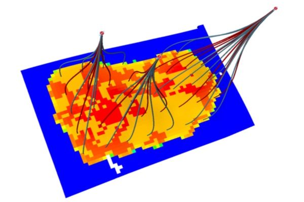
The ability to use reservoir models to simulate different scenarios for Field Development Planning is a common approach for making decisions about well pattern design, pattern o ...
Read More ...
Well data comparison
Compare well data from up to four wells side-by-side.
Plug-in Overview
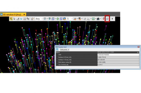
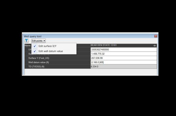
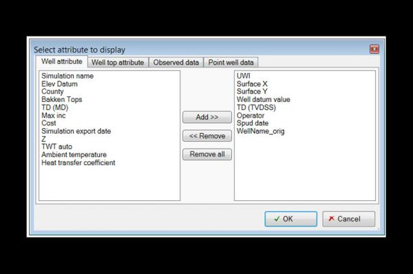
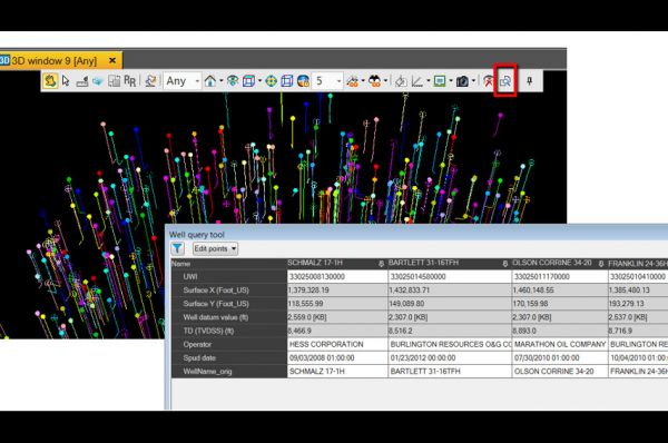
The Well Query Tool allows selection of wells graphically from any 2D/3D window and displaysrelated information. It also allows multiple well selection to compare the data in a tabular format.
Specificati ...
Read More ...
Production
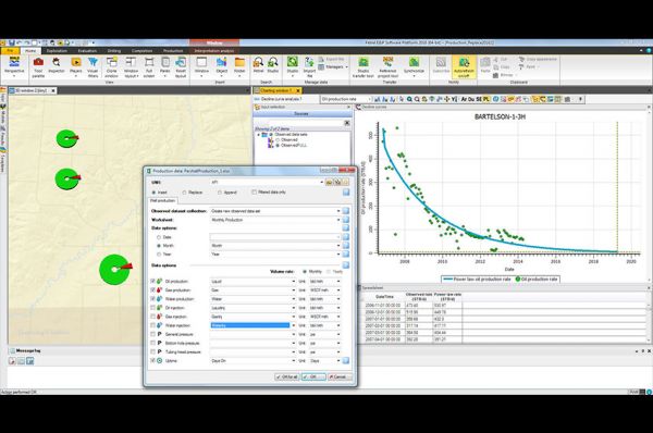
Load production datasets or choose to update an existing one with latest production data
Plug-in Overview
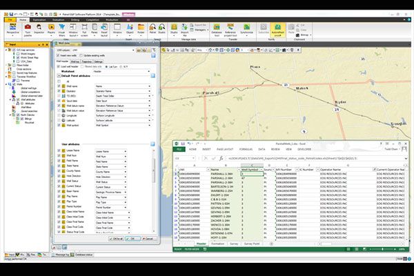
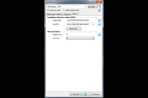
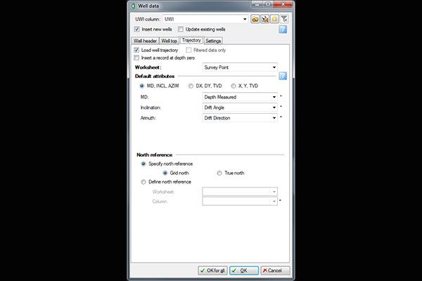
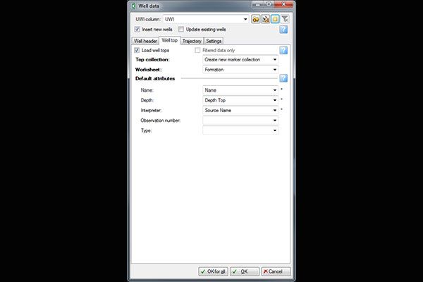
The Well Spreadsheet Loader enables the insertion of new well data and the ability to update existing well data and well attributes from an Excel spreadsheet. The spreadsheet forma ...
Read More ...

