Miscellaneous Software
Submit your software listing(s) in this category if you could not find specific category related to your software product(s) on "SOFTWARE CATEGORIES" menu on the left side of this page. A specific category may be created upon five (5) similar category requests through "Report" button on the detailed software profile after approval of software listing in the directory.
A Windows Explorer CGM Preview handler.
Most Explorer preview handlers provide a fixed scale preview. Panther View is scalable.
Panther view is a full featured CGM viewer that displays the CGM in the Windows Preview window attached to Windows Explorer. This provides a quick and easy CGM previewer ...
Read More ...
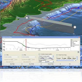
Geocap Shelf is a full 3D toolbox including everything needed for continental shelf delineation in accordance with United Nations Convention on the Law of the Sea, Article 76.
Geocap Shelf is a complete solution for continental shelf mapping and determination of a nation's continental shelf beyond ...
Read More ...
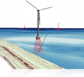
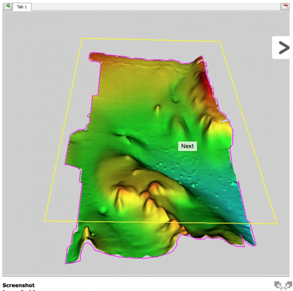
Geocap Ground Model is used for ground model construction in all stages of project development; from project inception and desktop study through to operation and maintenance, the ground model informs all activities involving resource assessment and engineering intrusive works.
The Geocap Ground Mod ...
Read More ...
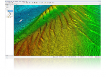
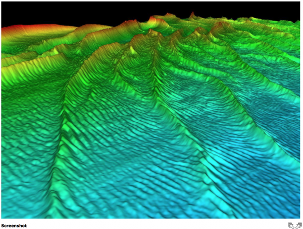
Geocap Seafloor lets you process survey data from multibeam echo sounders and create large high resolution grids. The strict project organization simplifies the way to build effective product lines.
The first version of Seafloor was released with Geocap 6.0.
Functionality for multibeam processing ...
Read More ...
OpenServer is the Petex API Protocol (syntax) that allows third party programs (such as Excel, Visual Basic, etc.) to access public functions in IPM to automate data input and model calculations. The Petex IPM products become calculation engines controlled from the outside. Being able to automate da ...
Read More ...
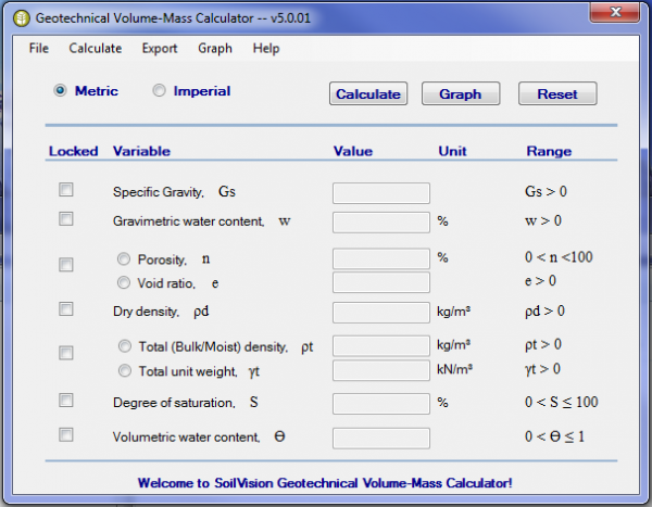
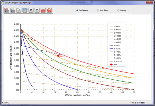
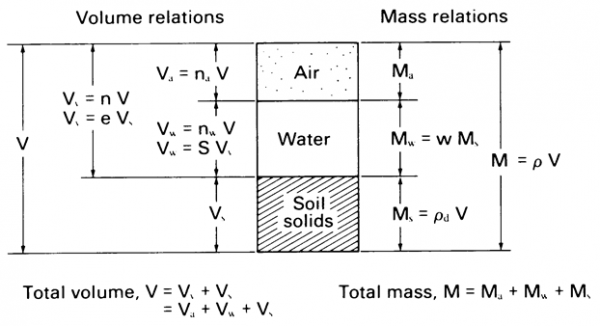
SoilVision systems Ltd. is pleased to announce the release of a free utility which can be used to calculate volume–mass relations for solving geotechnical problems. More specifically, the software allows the calculation of volume and mass relations in a soil containing various measures of air, water ...
Read More ...
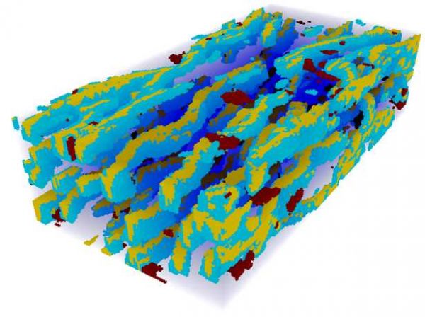
Impala is a fully parallelized algorithm for multiple point statistics simulation which is both fast and compact in terms of RAM requirement.
Current version (Impala 2.1) has the following features:
Uses a hybrid tree-list method allowing to optimize the storage and retrieving of the statistics ...
Read More ...
This module is used to optimize operations for EUR. It utilizes a proprietary calibration method that uses actual time-lapse(4D) data and realizations of subsurface conditions against model predictions to continuously improve estimates of subsurface rock and fluid dynamics. This approach has been pr ...
Read More ...
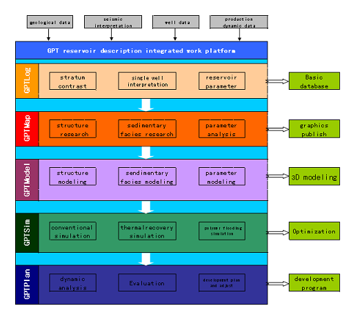
GPT reservoir description integrated work platform ®
During the development later stage, the containing water in the oilfield would be higher. After years of strong injection and forced production, reservoir parameters and fluid distribution have be changed, together with the reservoir heterogeneit ...
Read More ...
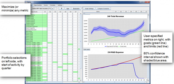
Solves Major Pain Points for Strategy
Planning recycle as a replacement for true strategy
Biased decision making
Over-optimism and attempts to game the system
Too much time to evaluate alternatives
Evaluating A&D deals too slow
Benefits
Develop clear strategy that drives alignment a ...
Read More ...


